Framed Nautical Charts
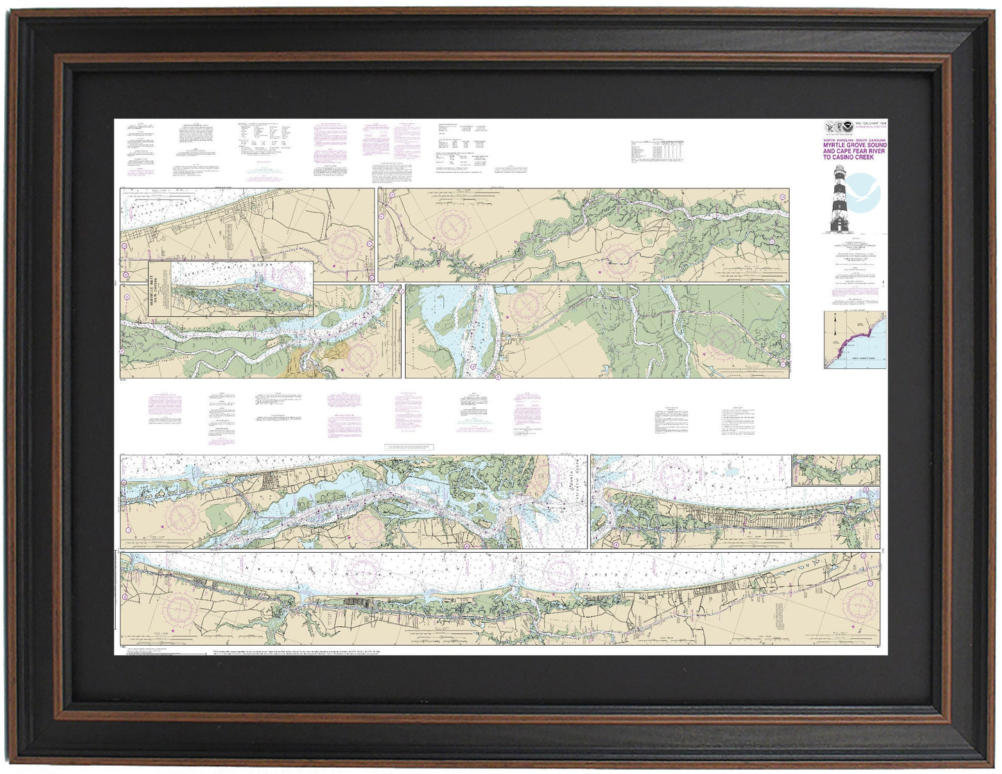
Framed Nautical Chart 11534 - Myrtle Grove to Cape Fear River. NOAA 11534. Handmade in the USA.
Framed Nautical Chart 11534 - Myrtle Grove to Cape Fear River. NOAA 11534. Handmade in the USA.
Couldn't load pickup availability
Discover the beauty of the South Carolina and North Carolina coast with our Framed Nautical Chart 11534, showcasing the waterways from Myrtle Grove to the Cape Fear River, spanning from North Myrtle Beach to Holden Beach. This officially sanctioned NOAA Nautical Chart provides intricate details of the region's waterways, making it an essential piece for boating enthusiasts and coastal aficionados alike.
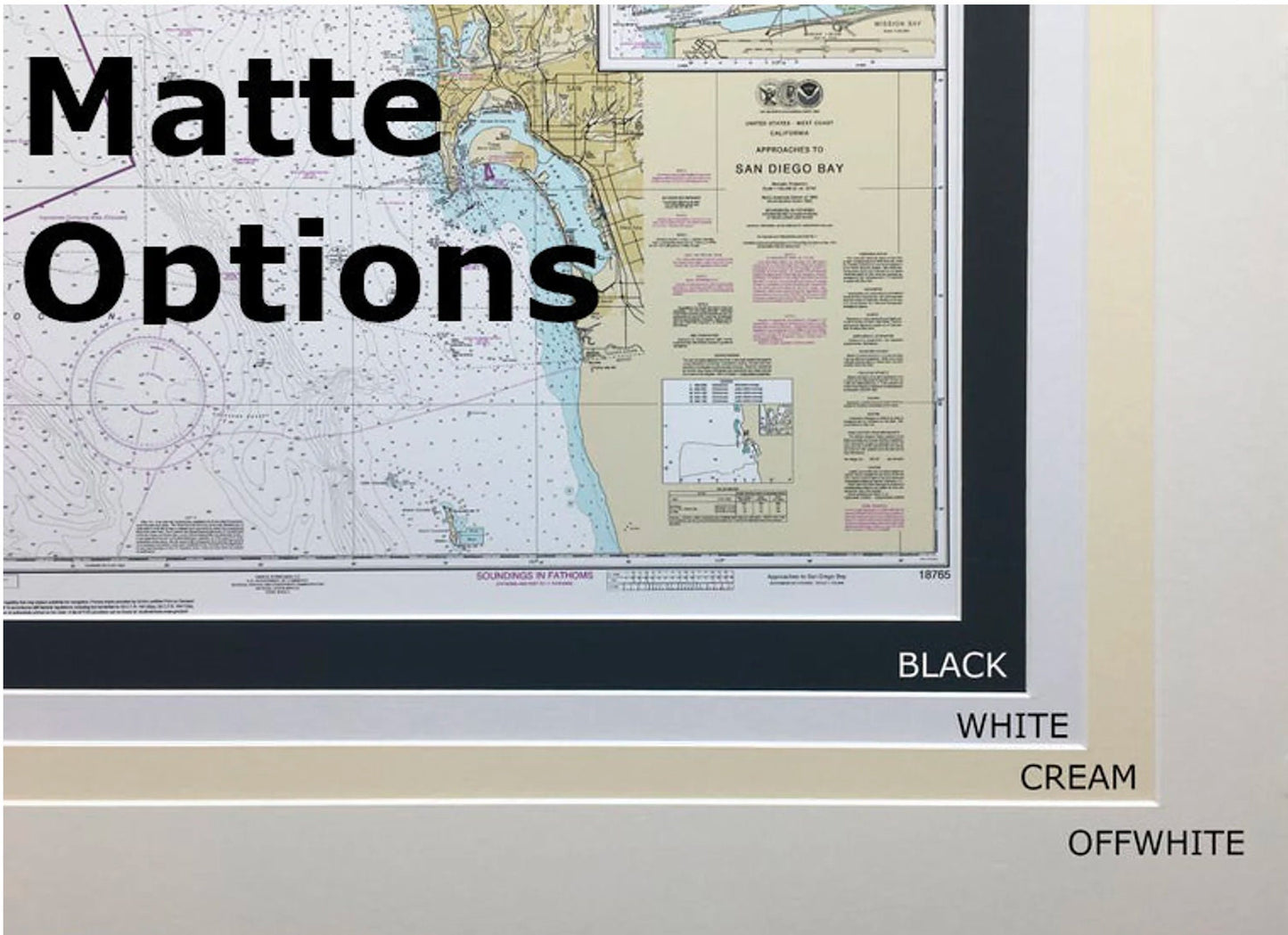
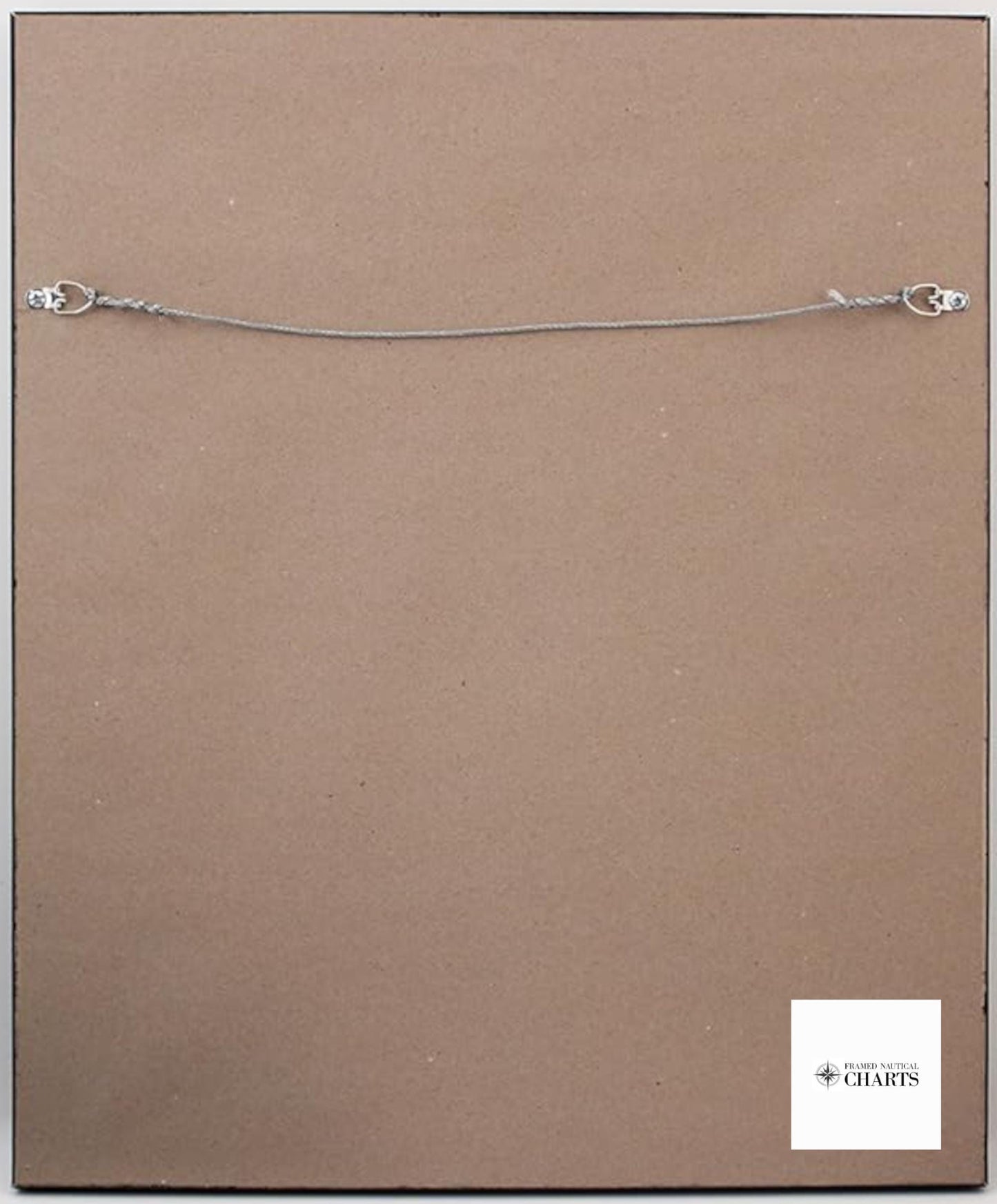
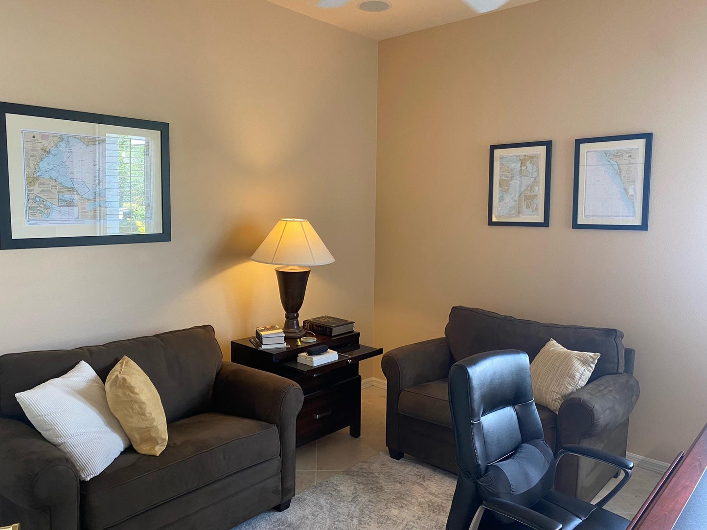
Handcrafted in the USA, each chart is a testament to superior craftsmanship. It comes beautifully presented in a solid wood frame that complements any decor. The museum-quality print is created with archival paper and inks, ensuring vibrant colors and durability. A sleek black mat enhances the visual appeal, while a glass front protects the chart from dust and damage. The back is meticulously finished with a paper duster and includes a wire hanger for effortless wall mounting.
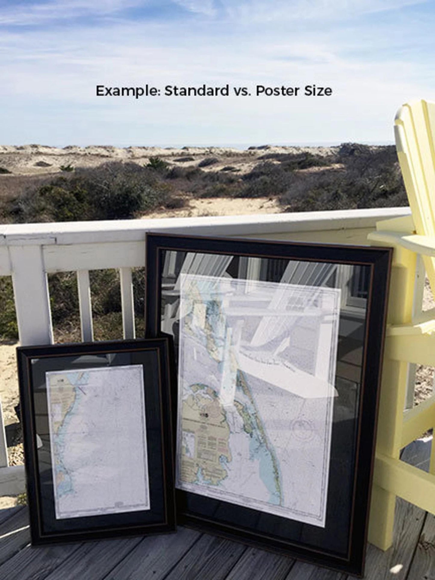
Available in two sizes, you can choose the perfect fit for your space:
- Standard size: outer frame dimensions approximately 24" W x 16.5” H
- Poster size: outer frame dimensions approximately 36" W x 25” H
Enjoy free ground shipping for orders within the 48 contiguous states*. Each Framed Nautical Chart is custom made to order, with shipping typically occurring within 2 business days. If you are looking for a different frame option, please reach out to us with your request, and feel free to send any sample photos to help us create your vision.
*Important Shipping Note: Free ground shipping is available only for the contiguous United States. For shipments to Alaska and Hawaii, please contact us for custom shipping quotes, as we do not inflate shipping costs.
Share