Framed Nautical Charts
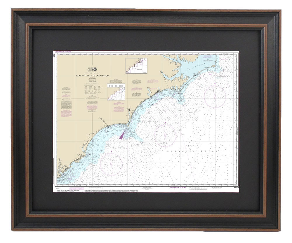
Framed Nautical Chart 11520- Cape Hatteras to Charleston. NOAA 11520. Handmade in the USA.
Framed Nautical Chart 11520- Cape Hatteras to Charleston. NOAA 11520. Handmade in the USA.
Couldn't load pickup availability
Discover the beauty of the Atlantic coast with this stunning Framed Nautical Chart, which spans the waters from Cape Hatteras, NC, to Charleston, SC. This official NOAA Nautical Chart highlights these picturesque waterways and is meticulously handcrafted in the USA, ensuring exceptional quality and craftsmanship.
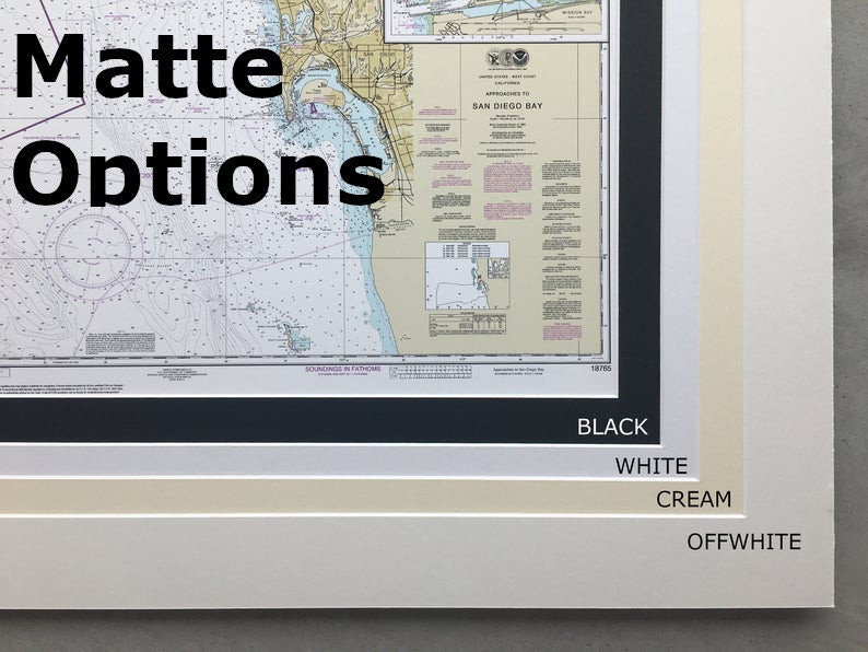
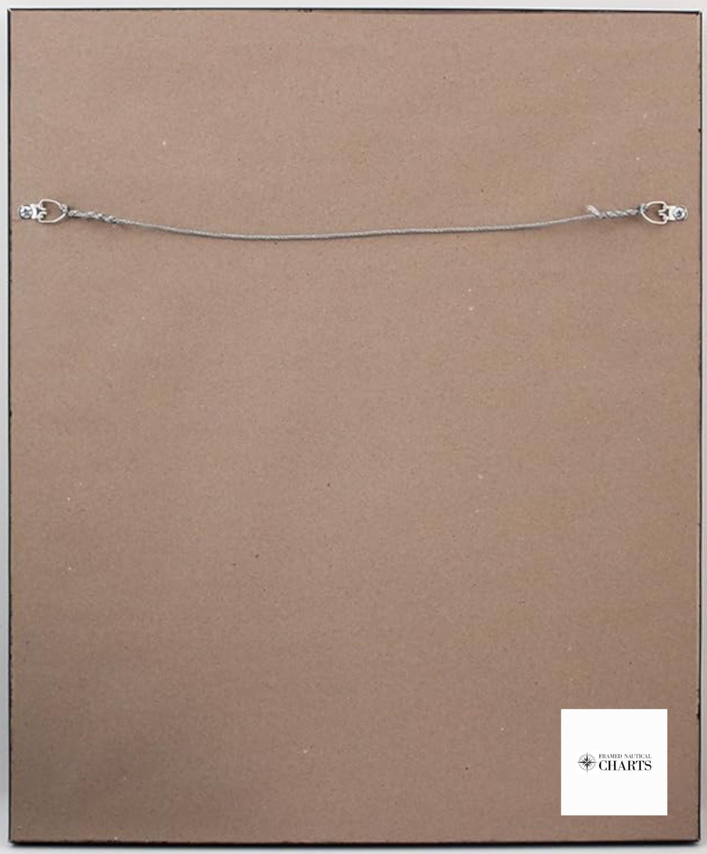
Presented in a solid wood frame, the chart features a museum-quality print on archival paper, utilizing fade-resistant inks for enduring vibrancy. The design includes a sophisticated black mat and is protected by a glass front, ensuring durability and elegance. The back is elegantly finished with a paper duster, and we include a convenient wire hanger for easy installation.
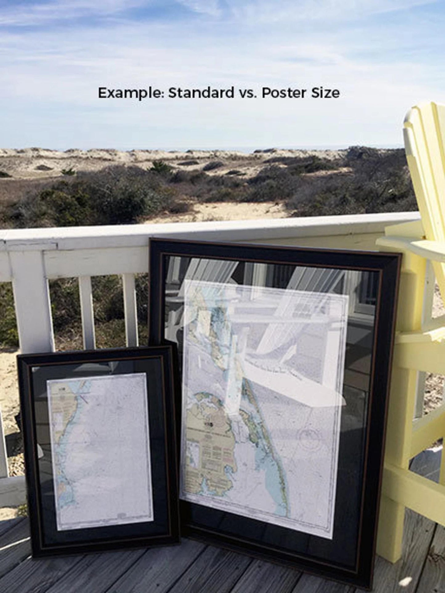
Available in two sizes to fit your space perfectly:
- Standard Size: Outer frame dimensions approximately 24" W x 18" H
- Poster Size: Outer frame dimensions approximately 36" W x 27.5" H
If you have specific framing preferences, please reach out to us! We are happy to accommodate custom requests and welcome any sample photos you have to help us create exactly what you envision.
*Important Shipping Note: We offer free ground shipping on orders within the 48 contiguous states. While we do not inflate our shipping costs, please contact us for a custom shipping quote if you are located in Alaska or Hawaii, as additional charges may apply.
Share