Framed Nautical Charts
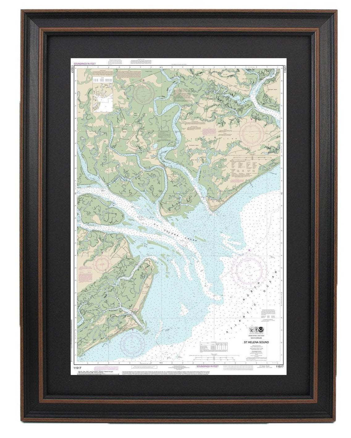
Framed Nautical Chart 11517 - St Helena Sound, SC. NOAA 11517. Handmade in the USA.
Framed Nautical Chart 11517 - St Helena Sound, SC. NOAA 11517. Handmade in the USA.
Couldn't load pickup availability
This beautifully framed nautical map showcases the stunning waters and coastline surrounding St. Helena Sound, South Carolina. Officially recognized as NOAA Nautical Chart 11517, this piece highlights prominent landmarks such as St. Helena Island, Pritchards Island, Edisto Island, Edisto Beach, and Hunting Island.
Expertly handmade in the USA, each chart is a testament to high craftsmanship standards. The map is elegantly presented in a solid wood frame and features a museum-quality print produced with archival paper and inks, ensuring durability and vibrancy. It includes a black mat for a sophisticated touch and is protected by a glass front to keep it looking pristine. The back is finished with a paper duster, and a wire hanger is provided for easy installation.
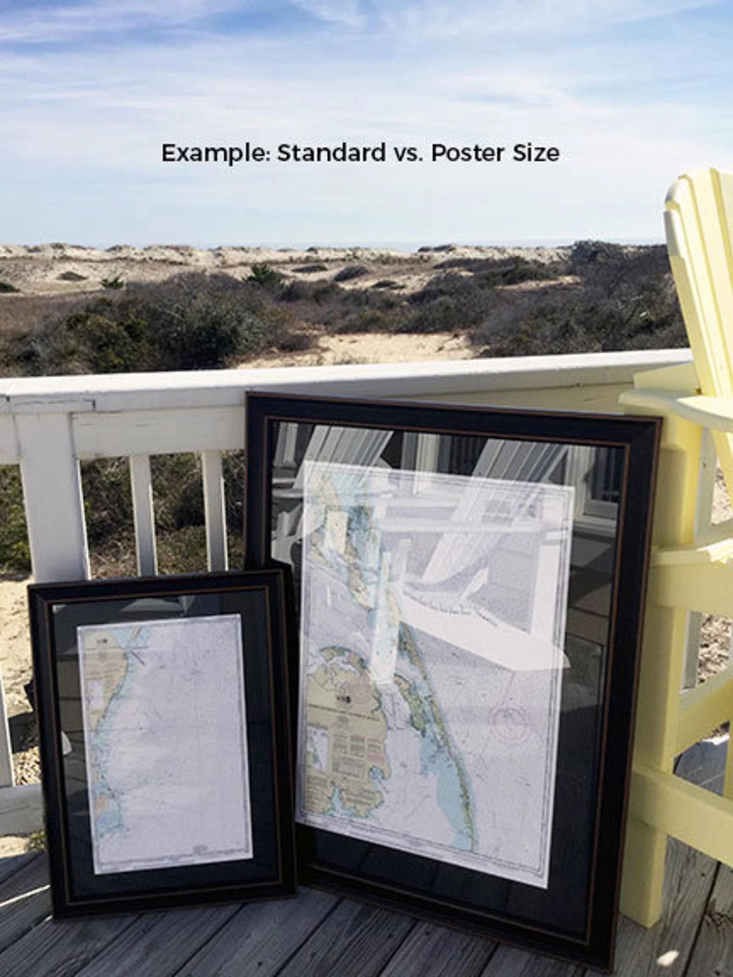
We offer frames in two sizes to suit your space:
- Standard size: approximately 16 1/4" W x 24" H
- Poster size: approximately 24 1/2" W x 36" H
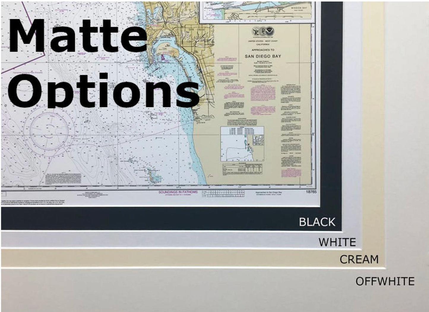
If you’re interested in a different frame option, please feel free to contact us with your request. We encourage you to share any sample photos you may have to help us create your ideal piece.
*Important Shipping Note: Free ground shipping is available only for shipments within the 48 contiguous states. We do not inflate shipping costs. However, due to the high shipping rates to Alaska and Hawaii, please reach out for customized shipping quotes.
Share