Framed Nautical Charts
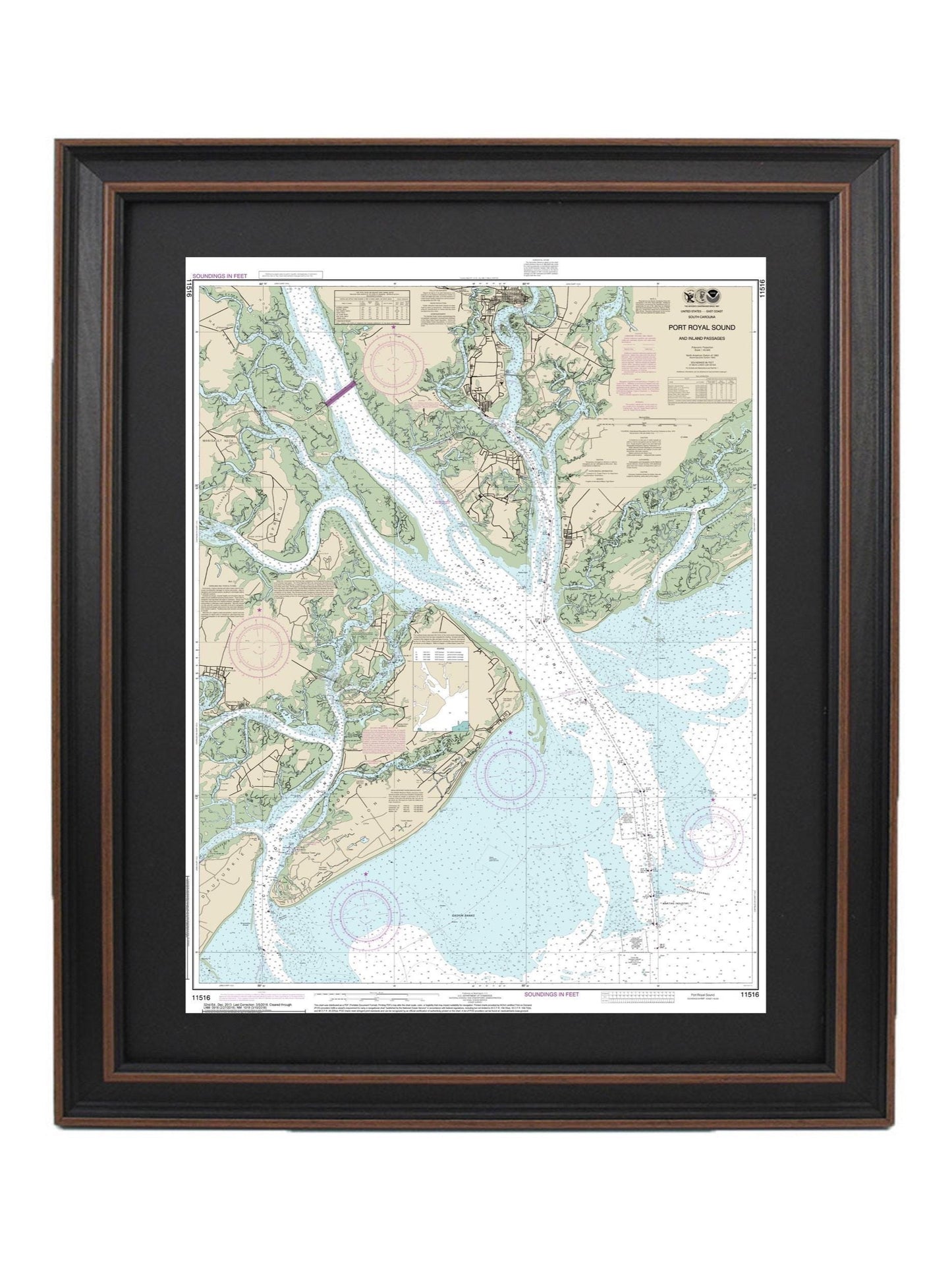
Framed Nautical Chart 11516 - Hilton Head Island & Port Royal Sound. NOAA 11516. Handmade in the USA.
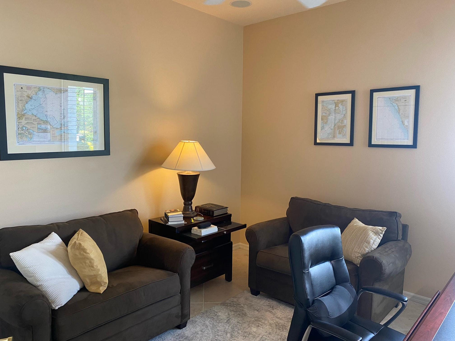
Framed Nautical Chart 11516 - Hilton Head Island & Port Royal Sound. NOAA 11516. Handmade in the USA.
Couldn't load pickup availability
Discover the beauty of the South Carolina coast with our elegantly framed Nautical Chart featuring Hilton Head Island and Port Royal Sound. This official NOAA Nautical Chart intricately details the waterways surrounding Port Royal Sound and the inland passages of this stunning region. Each chart is meticulously handcrafted in the USA, showcasing exceptional craftsmanship and quality.
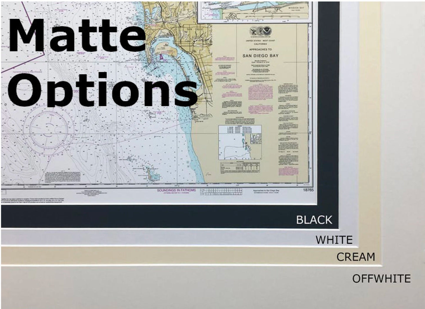
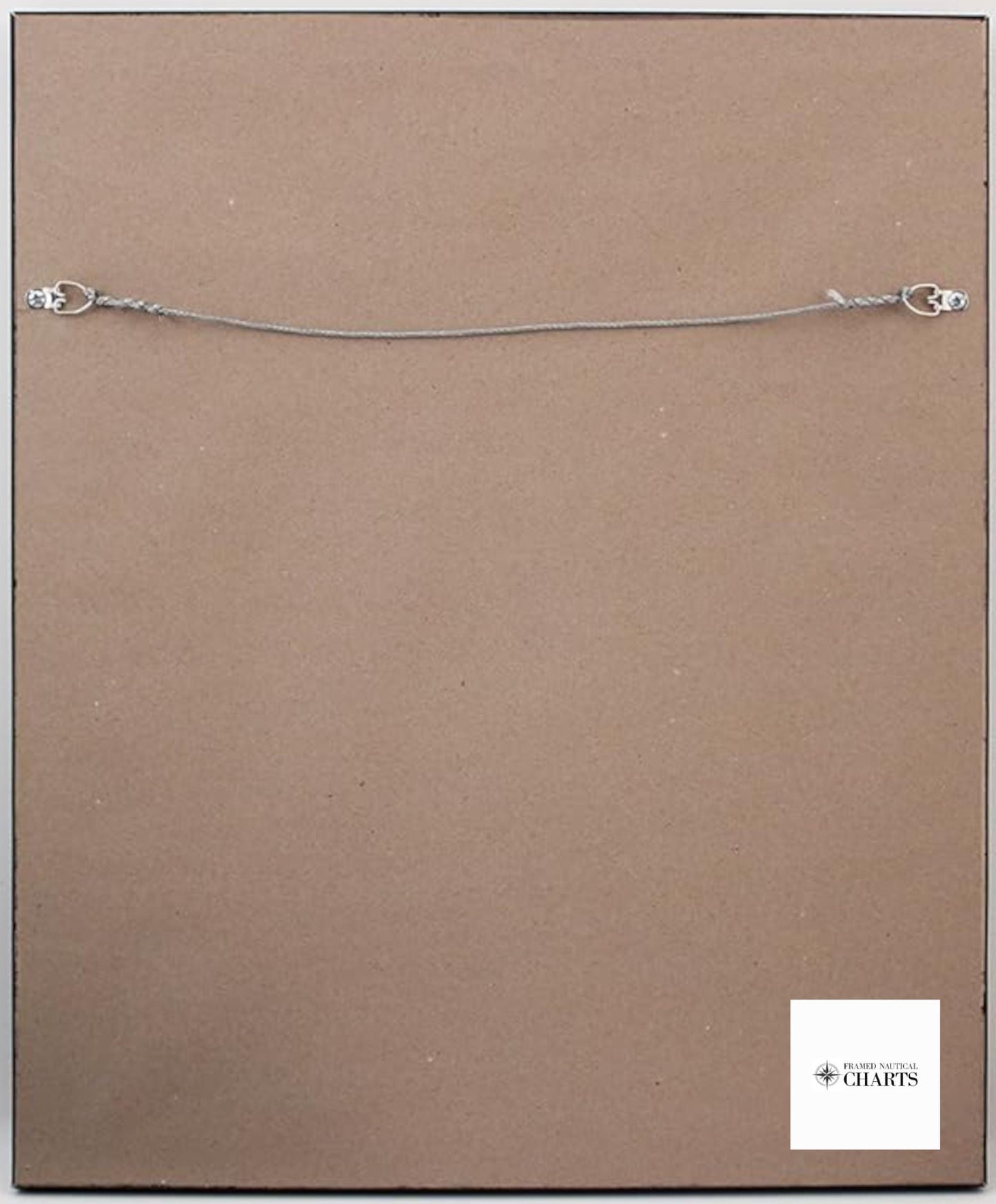
Your chart is beautifully presented in a solid wood frame, complemented by a museum-quality print created from archival paper and inks for durability. The design includes a stylish black mat and is protected by a glass front, ensuring your nautical map stays vibrant for years to come. The back of the frame is completed with a paper duster for a polished look, and a wire hanger is included for effortless installation.
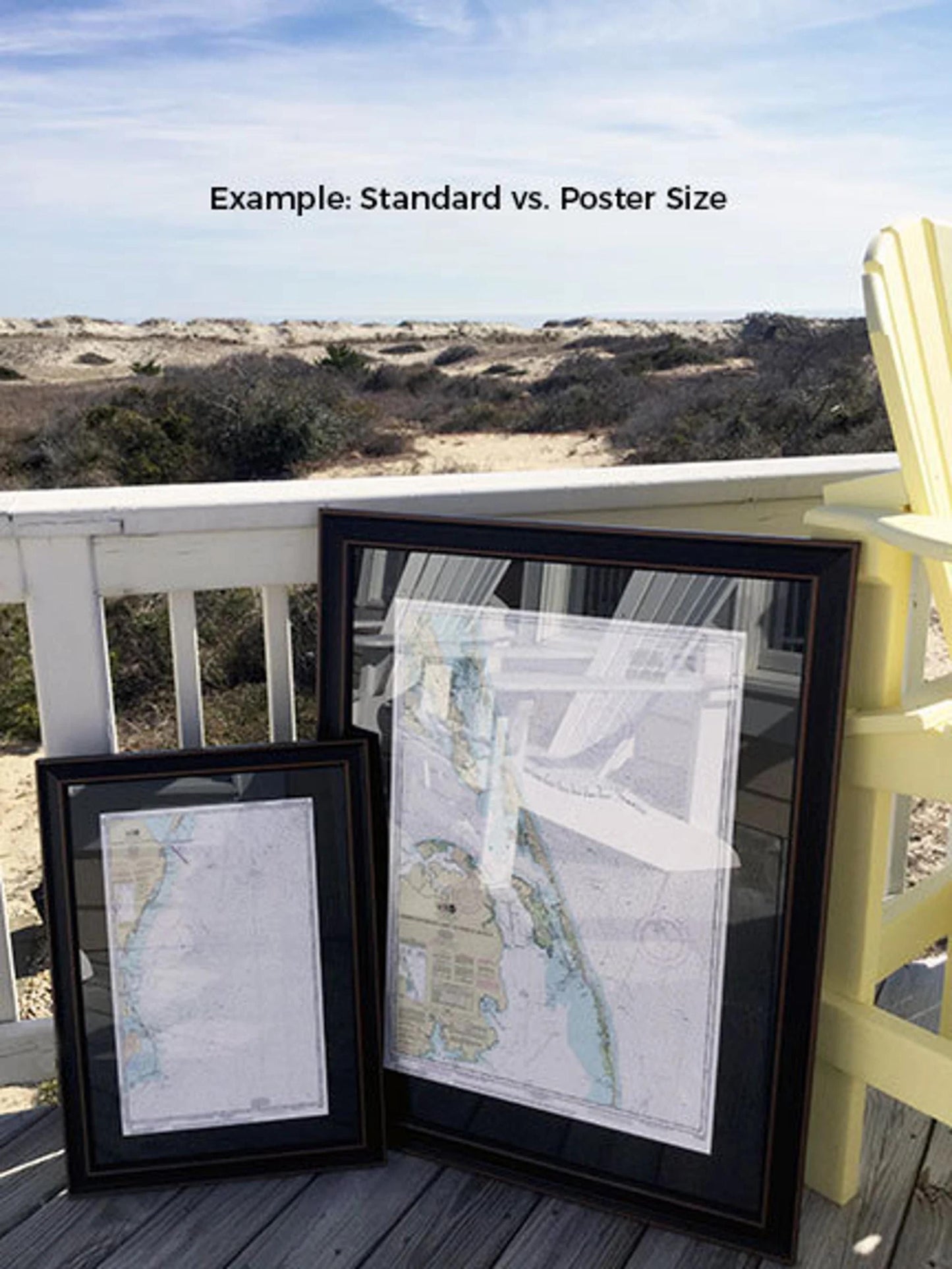
We offer two frame sizes to suit your space:
- Standard Size: Outer frame dimensions approximately 18 1/4" W x 24" H
- Poster Size: Outer frame dimensions approximately 27 1/2" W x 36" H
If you are interested in a different frame option, please don't hesitate to contact us with your preferences. We welcome any sample photos you may have to help us bring your vision to life.
*Important Shipping Note: Enjoy free ground shipping within the 48 contiguous states. While we do not increase shipping costs, please contact us for a custom shipping quote for Alaska and Hawaii, as shipping rates are higher for these locations.
Share