Framed Nautical Charts
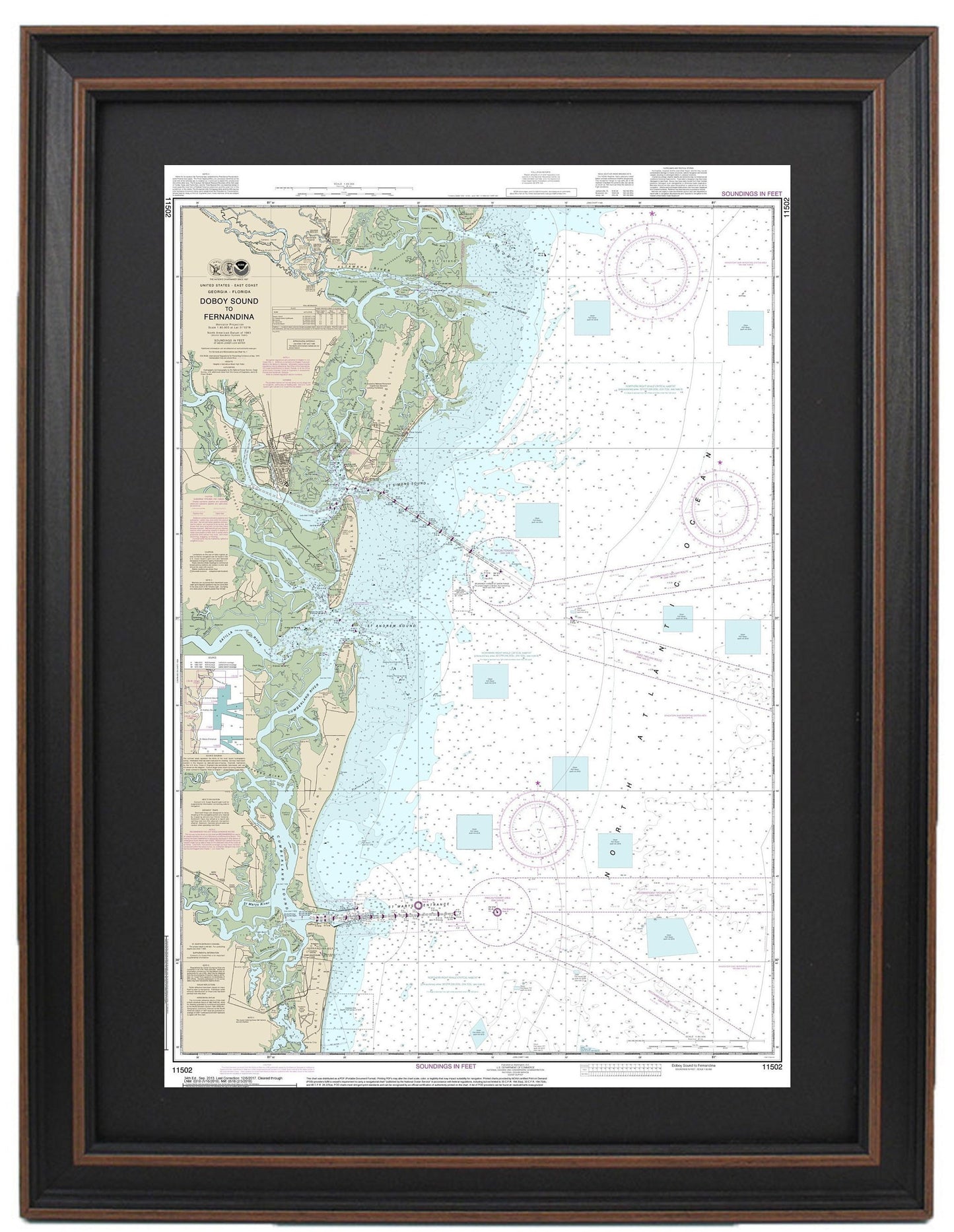
Framed Nautical Chart 11502 - Doboy Sound to Fernandina. NOAA 11502. Handmade in the USA.
Framed Nautical Chart 11502 - Doboy Sound to Fernandina. NOAA 11502. Handmade in the USA.
Couldn't load pickup availability
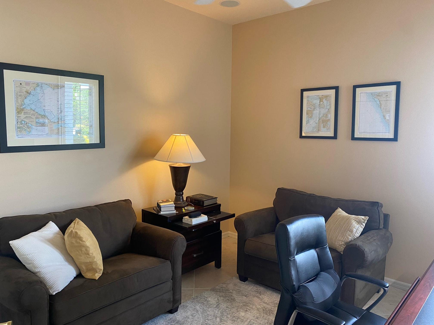
Discover our exquisite Framed Nautical Chart 11502, which showcases the stunning waterways from Doboy Sound to Fernandina in Florida. This official NOAA Nautical Chart is meticulously crafted to provide an accurate and detailed representation of the marine region. Handcrafted in the USA, each chart exemplifies exceptional craftsmanship and quality.
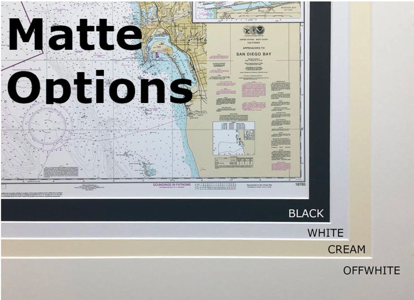
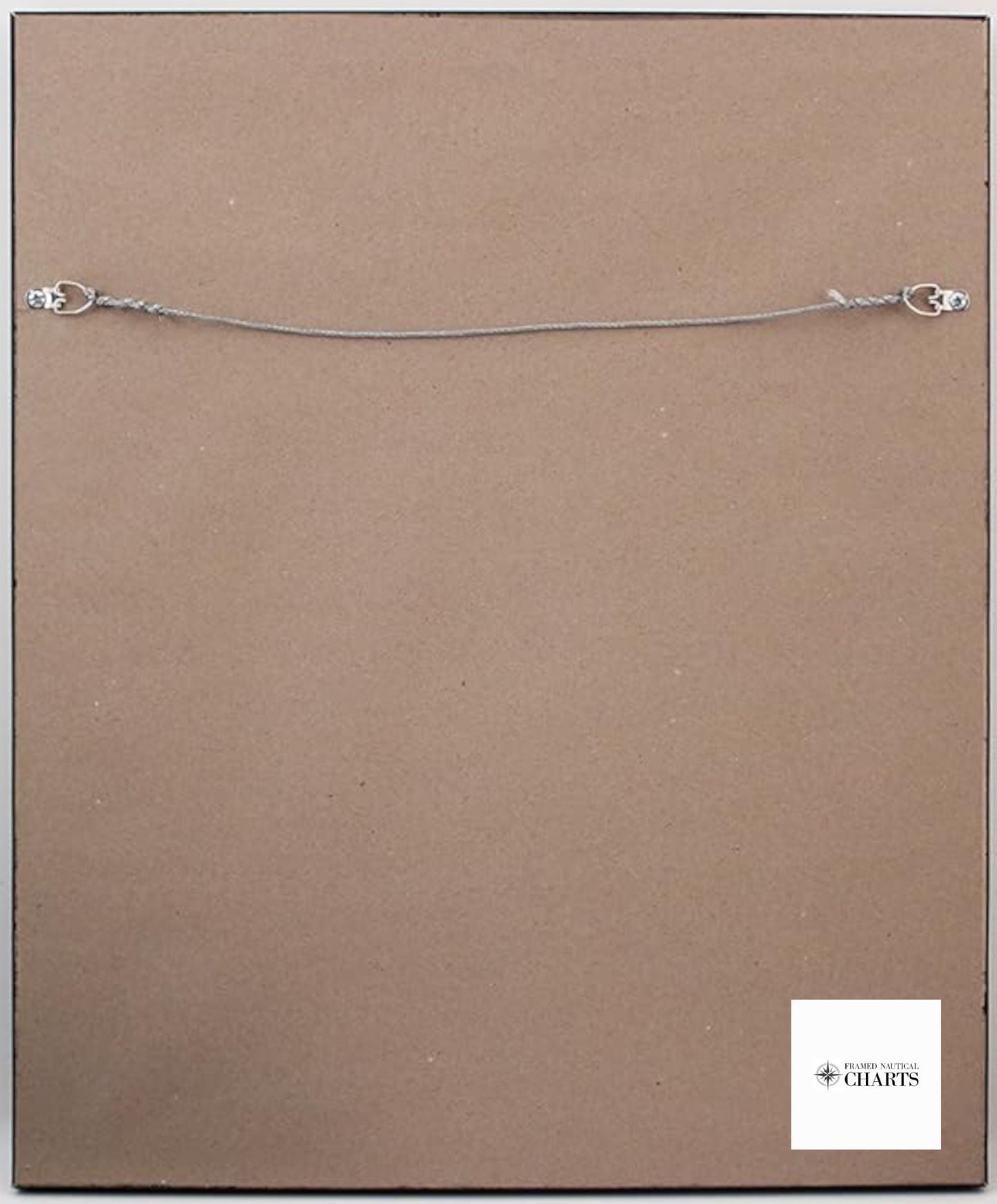
This beautiful nautical map is elegantly displayed in a solid wood frame, ensuring durability and aesthetic appeal. The map features a museum-quality print made from archival paper and inks, guaranteeing longevity and vibrancy. Enhanced with a sleek black mat and protected by a glass front, this chart is both visually striking and practical. The back is finished with a paper duster for a polished look, and it comes with a wire hanger for effortless installation.
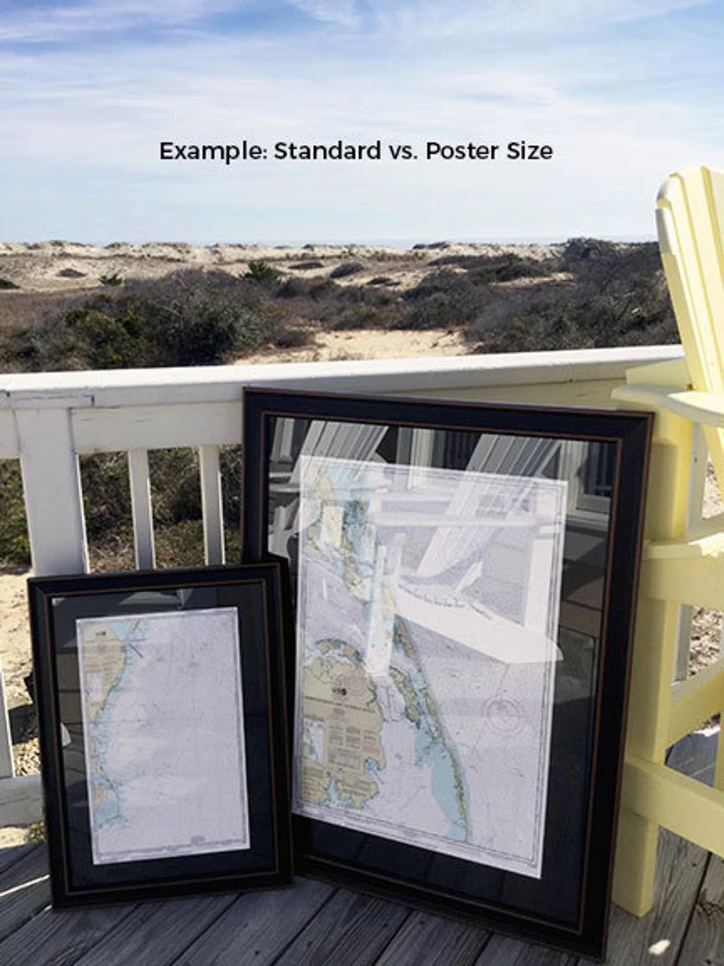
Choose from two convenient frame sizes:
- Standard size with outer dimensions approximately 16 1/4" W x 24"H
- Poster size with outer dimensions approximately 24 1/2" W x 36"H
If you’re interested in a different frame option, please don’t hesitate to contact us with your preferences. We would be delighted to accommodate any requests and can work with sample photos to create your ideal piece.
*Important Shipping Note: Free ground shipping is available for orders shipped to the 48 contiguous states. We do not inflate shipping costs; however, due to higher shipping rates to Alaska and Hawaii, please reach out for a custom shipping quote.
Share