Framed Nautical Charts
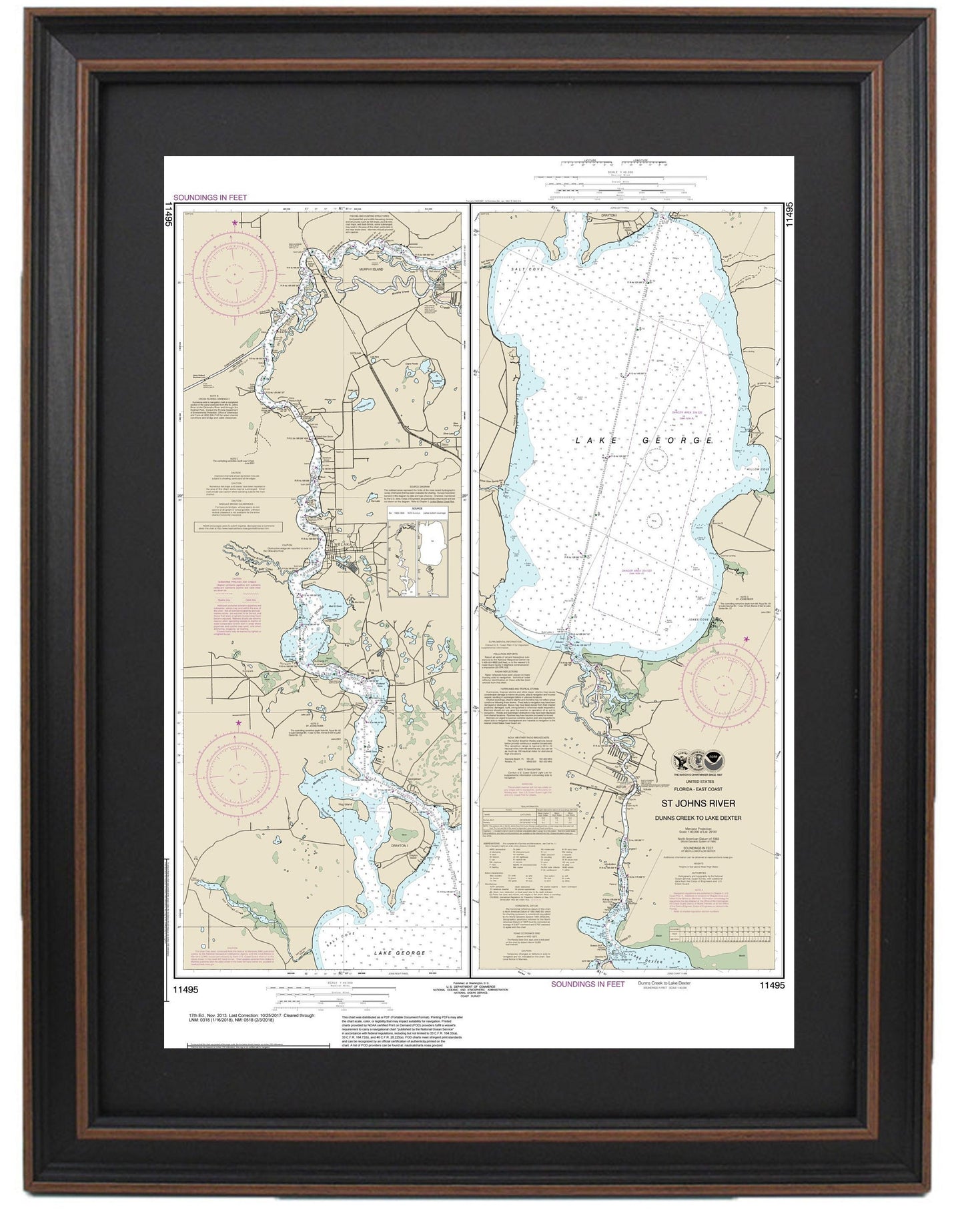
Framed Nautical Chart 11495 - St. Johns River. Dunns Creek to Lake Dexter. NOAA 11495. Handmade in the USA.
Framed Nautical Chart 11495 - St. Johns River. Dunns Creek to Lake Dexter. NOAA 11495. Handmade in the USA.
Couldn't load pickup availability
This beautifully framed nautical map showcases the St. Johns River, specifically the area from Dunns Creek to Lake Dexter. This official NOAA Nautical Chart provides a detailed representation of Florida's waterways and is expertly handmade in the USA, reflecting exceptional craftsmanship. The chart is elegantly presented in a solid wood frame, featuring a museum-quality print made with archival paper and inks for durability and vibrant clarity.
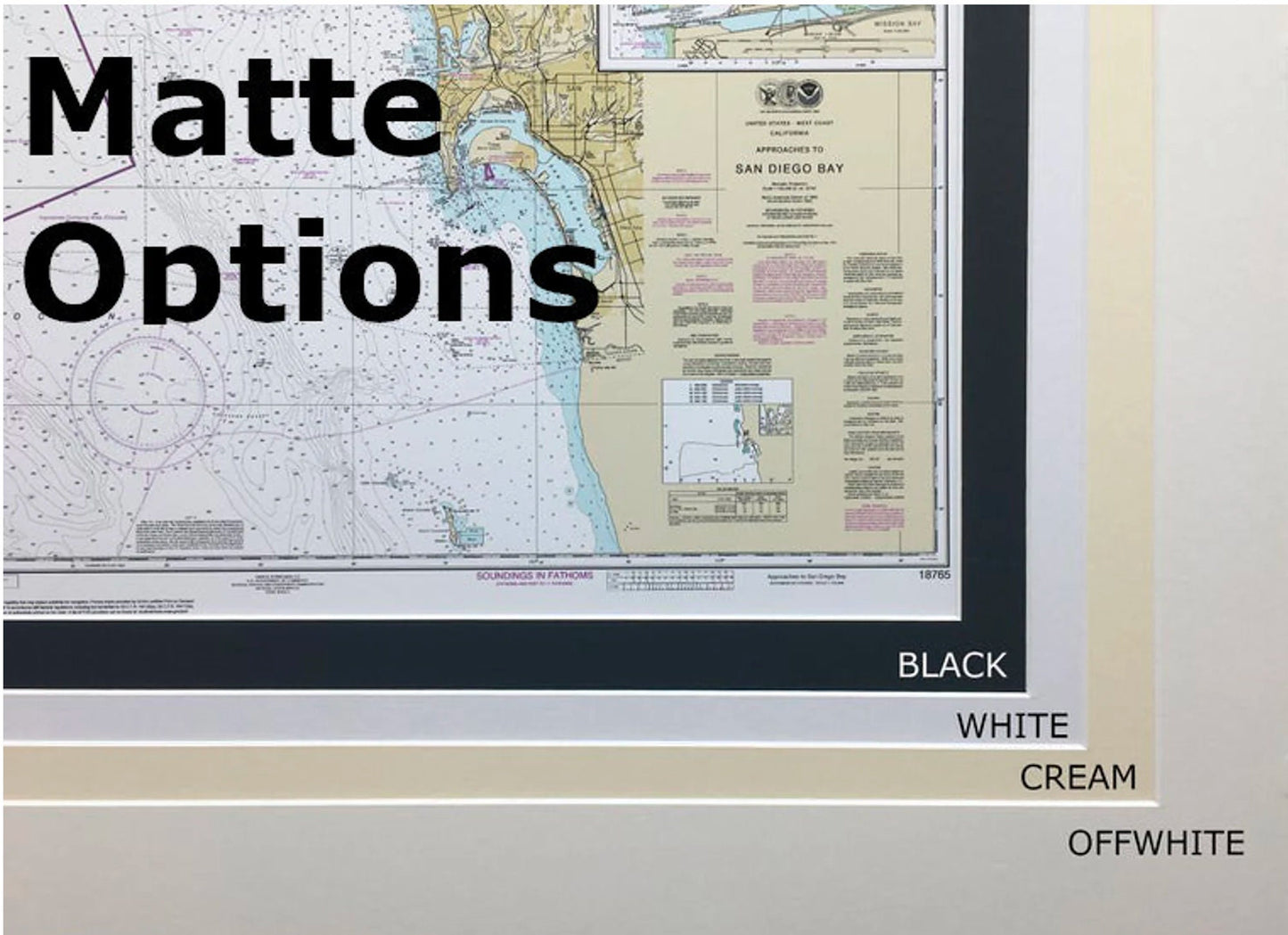
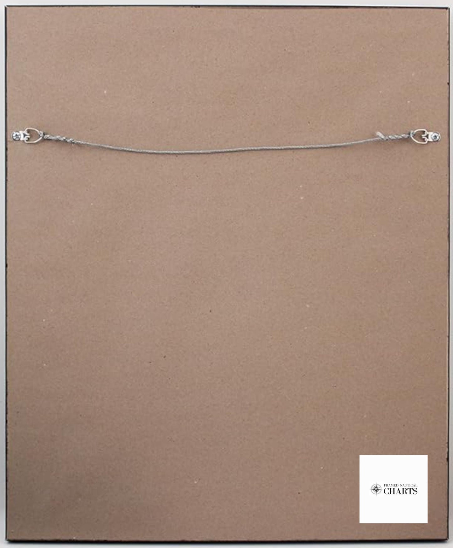
Each piece includes a stylish black mat and is protected by a glass front, ensuring the chart remains in pristine condition. The back of the frame is finished with a paper duster, and a wire hanger is included for easy installation.
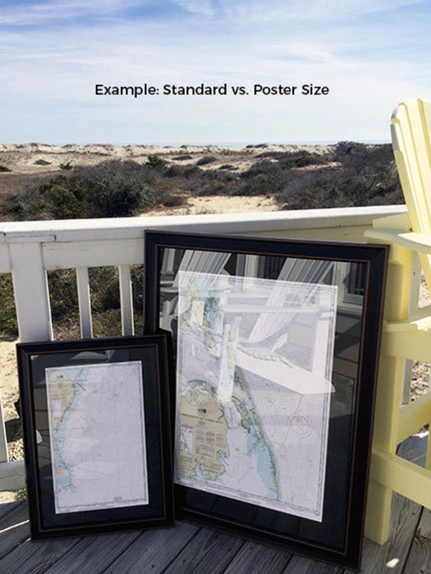
Our framed nautical charts are available in two sizes:
- Standard size: Outer frame dimensions are approximately 17” W x 24” H.
- Poster size: Outer frame dimensions are approximately 25 1/4” W x 36” H.
If you're seeking a different framing option, please feel free to contact us with your request. We are happy to collaborate with you, especially if you have sample photos to share, to create the perfect custom piece.
*Important Shipping Note: Free ground shipping is available for shipments within the 48 contiguous states. We do not charge extra for shipping; however, due to higher costs for shipping to Alaska and Hawaii, please reach out for a custom shipping quote.
Share