Framed Nautical Charts
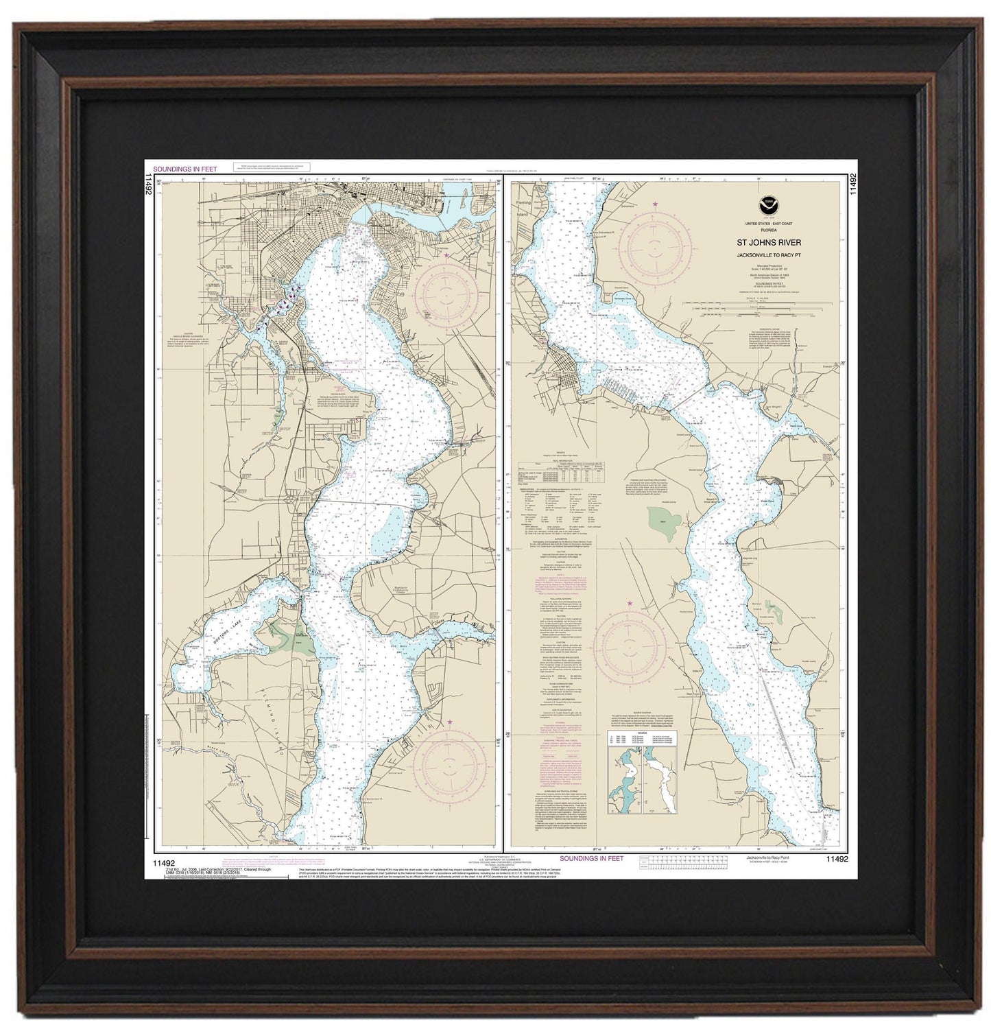
Framed Nautical Chart 11492 - St. Johns River. Jacksonville to Racy Point. NOAA 11492. Handmade in the USA.
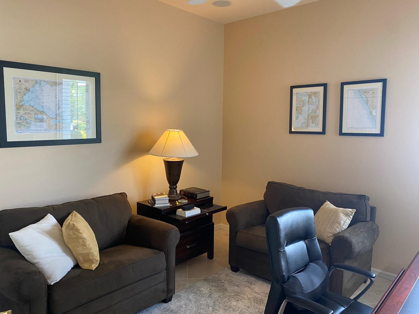
Framed Nautical Chart 11492 - St. Johns River. Jacksonville to Racy Point. NOAA 11492. Handmade in the USA.
Couldn't load pickup availability
Discover the beauty of the St. Johns River with our meticulously handcrafted Framed Nautical Chart, showcasing the waterway from Jacksonville to Racy Point. This official NOAA Nautical Chart, number 11492, highlights the intricate details of Florida's waterways and is a stunning addition to any home or office.
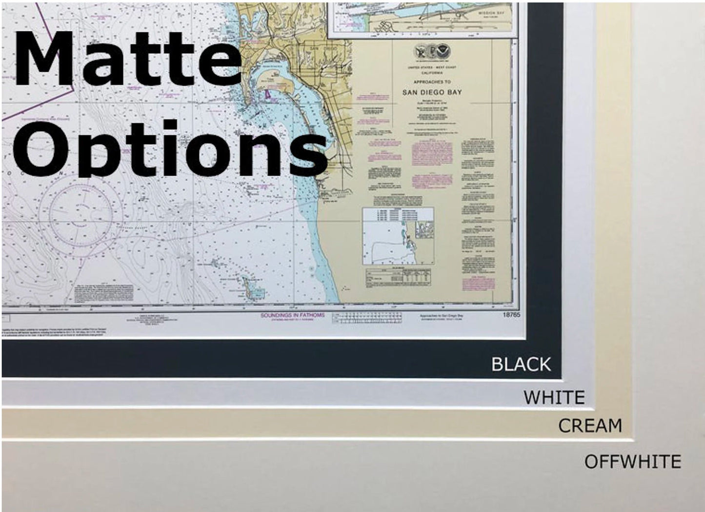
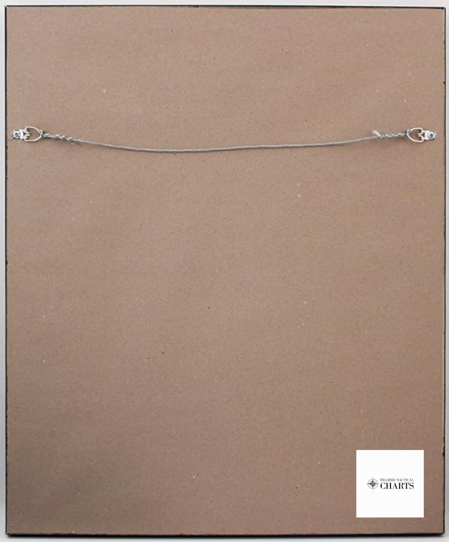
Each chart is custom made in the USA, reflecting exceptional craftsmanship and quality. The nautical chart is elegantly presented in a solid wood frame, featuring a museum-quality print produced on archival paper with durable inks for long-lasting beauty. Each chart comes with a sophisticated black mat and is protected by a glass front to ensure its preservation. The back of the frame is finished with a paper duster, and a wire hanger is included for easy installation.
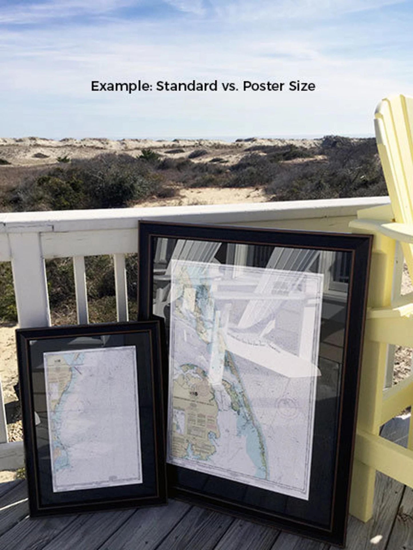
We offer two frame sizes to perfectly suit your space:
- Standard size: Outer frame dimensions approximately 23 3/4" W x 24" H
- Poster size: Outer frame dimensions approximately 35 1/2" W x 36" H
If you have a specific frame option in mind, we invite you to reach out with your request. We are happy to accommodate custom designs and welcome any sample photos you may have to help us create your ideal piece.
*Important Shipping Note: Free ground shipping is available for orders shipped to the 48 contiguous states. We strive to keep our shipping costs reasonable; however, due to the high costs associated with shipping to Alaska and Hawaii, please contact us for a personalized shipping quote.
Share