Framed Nautical Charts
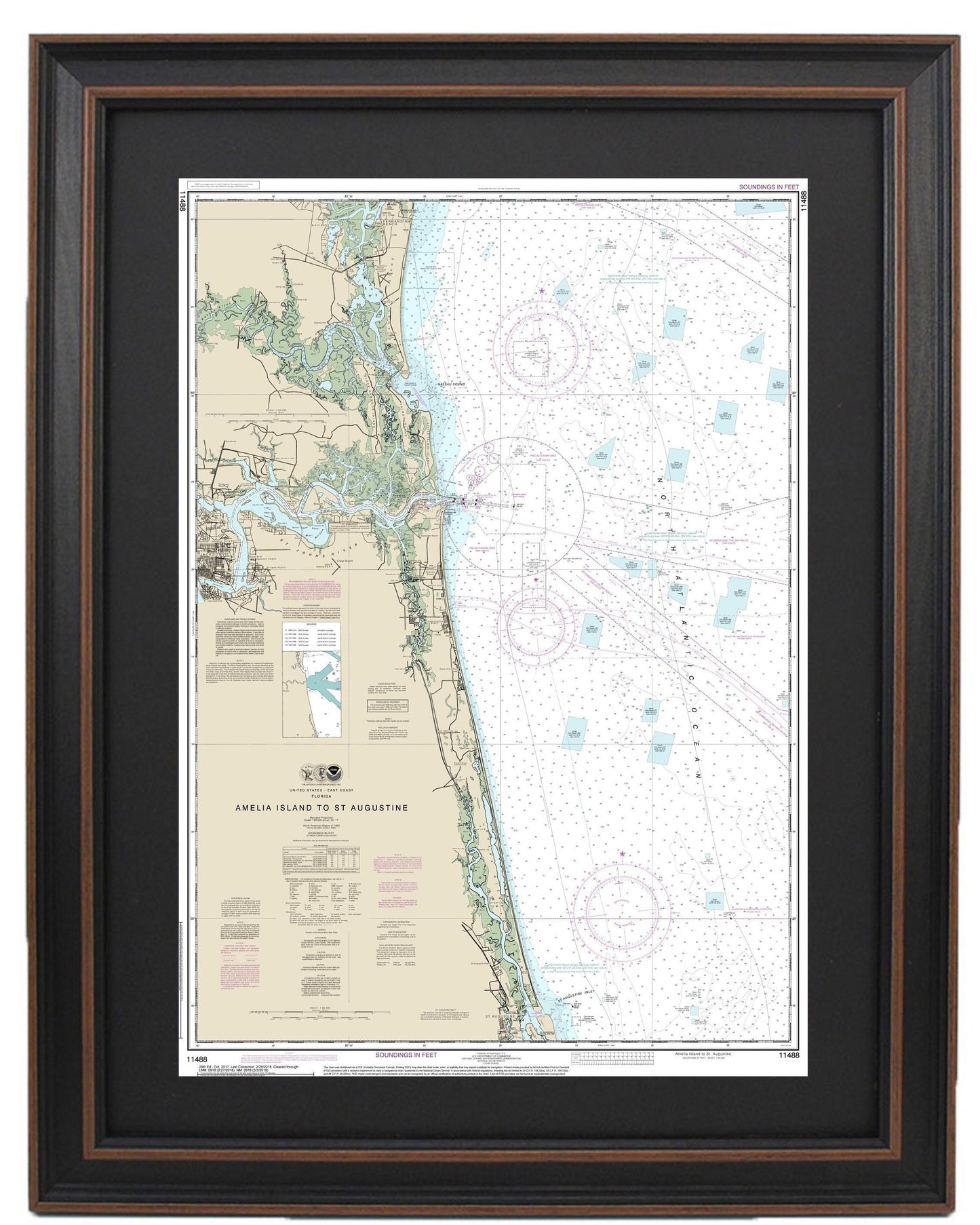
Framed Nautical Chart 11488 - Amelia Island to St. Augustine. NOAA 11488. Handmade in the USA.
Framed Nautical Chart 11488 - Amelia Island to St. Augustine. NOAA 11488. Handmade in the USA.
Couldn't load pickup availability
Discover the stunning beauty of Florida's coastline with our Framed Nautical Chart, covering the scenic waterways from Amelia Island to St. Augustine. This officially licensed NOAA Nautical Chart 11488 is a detailed representation of the area, perfect for maritime enthusiasts, coastal homeowners, or anyone who appreciates the allure of the ocean.
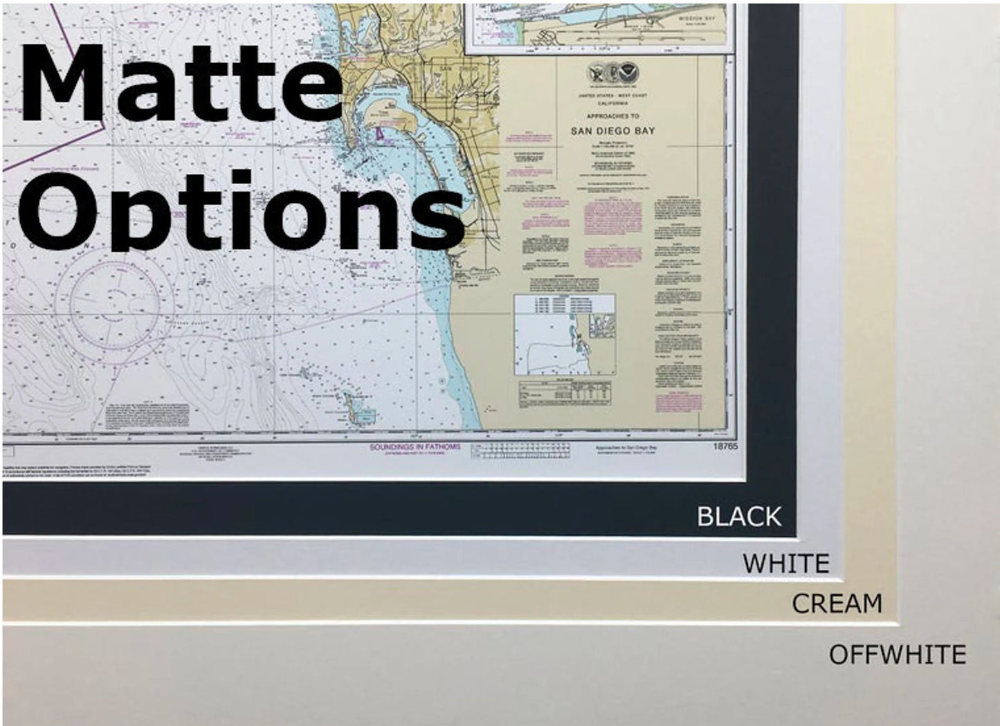
Each chart is custom handcrafted in the USA, showcasing exceptional craftsmanship and attention to detail. The nautical map is elegantly presented in a solid wood frame, complemented by a museum-quality print produced with archival paper and inks to ensure durability and vibrant colors. To enhance its visual appeal, the chart features a classic black mat and is protected by a glass front, making it a stunning addition to any wall.
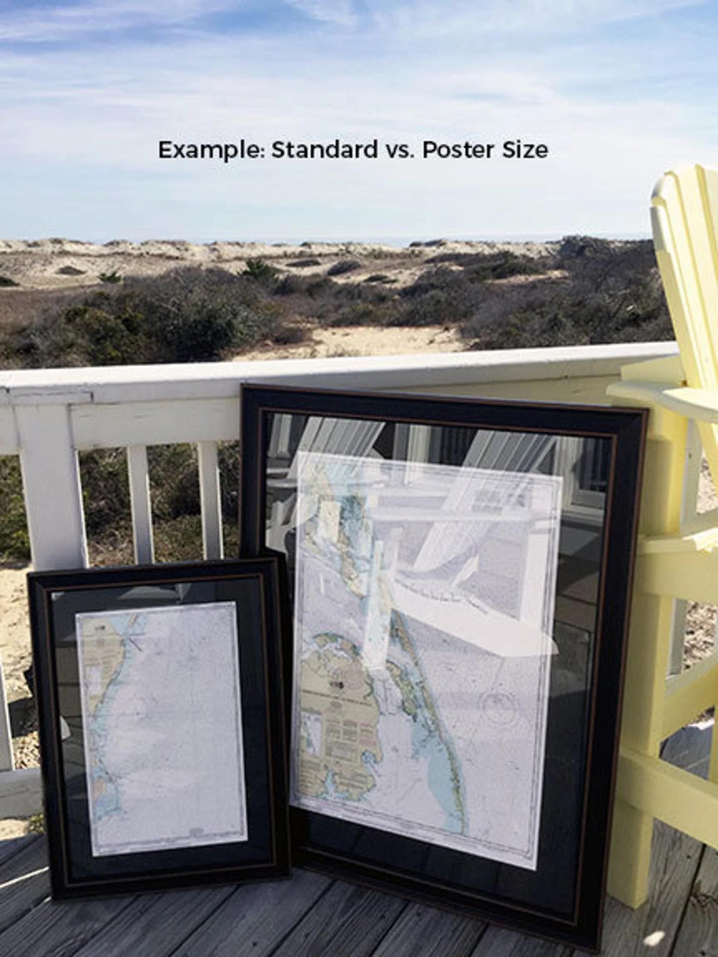
The back of the frame is neatly finished with a paper duster, and a wire hanger is included for easy installation. Our framed charts are available in two sizes:
- Standard size: Outer frame dimensions approximately 16 3/4" W x 24" H.
- Poster size: Outer frame dimensions approximately 25 1/4" W x 36" H.
If you're interested in a different framing option or have specific preferences, feel free to reach out to us. We encourage you to share any sample photos that inspire your vision, so we can create a customized piece that perfectly fits your aesthetic.
*Important Shipping Note: We offer free ground shipping to the 48 contiguous states. As we do not mark up shipping costs, please contact us for custom shipping quotes for Alaska and Hawaii, as these may vary due to higher shipping expenses. Bring the charm of Florida’s coastline into your home with this beautiful framed nautical chart!
Share