Framed Nautical Charts
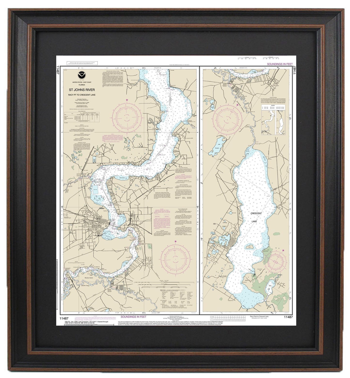
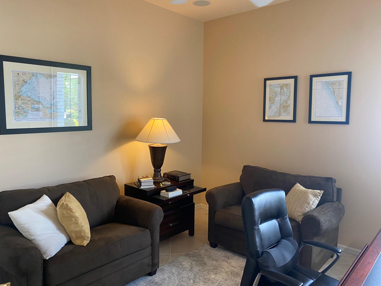
Framed Nautical Chart 11487 - St. Johns River. Racy Point to Crescent Lake. NOAA 11487. Handmade in the USA.
Framed Nautical Chart 11487 - St. Johns River. Racy Point to Crescent Lake. NOAA 11487. Handmade in the USA.
Couldn't load pickup availability
Discover the beauty of the St. Johns River with our stunning Framed Nautical Chart, showcasing the area from Racy Point to Crescent Lake. This official NOAA Nautical Chart, number 11487, expertly details the intricate waterways of Florida, making it a perfect addition to both nautical decor enthusiasts and those who cherish Florida's natural beauty.
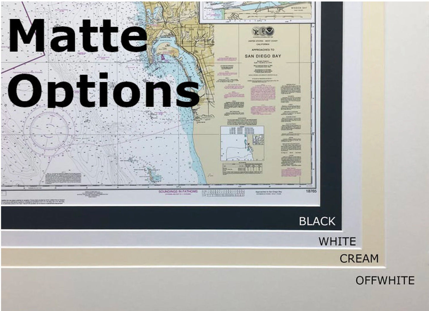
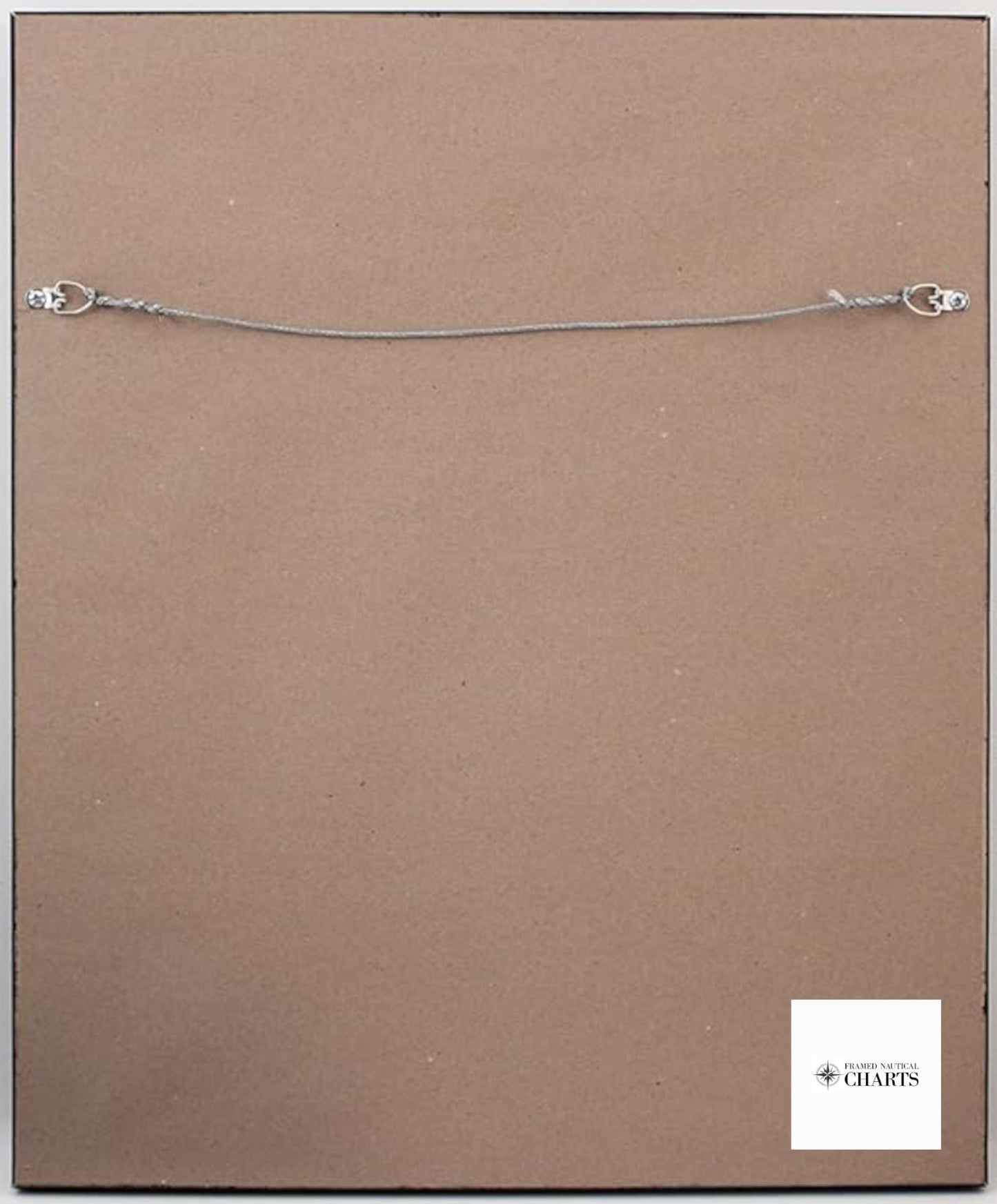
Handmade in the USA, each chart reflects exceptional craftsmanship. The map is elegantly presented in a solid wood frame, featuring a museum-quality print that utilizes archival paper and inks for long-lasting color and durability. An added black mat accentuates the chart's details, while a protective glass front ensures that this piece remains pristine for years to come. The back of the frame is finished with a paper duster for a polished look, and it includes a wire hanger for easy installation.
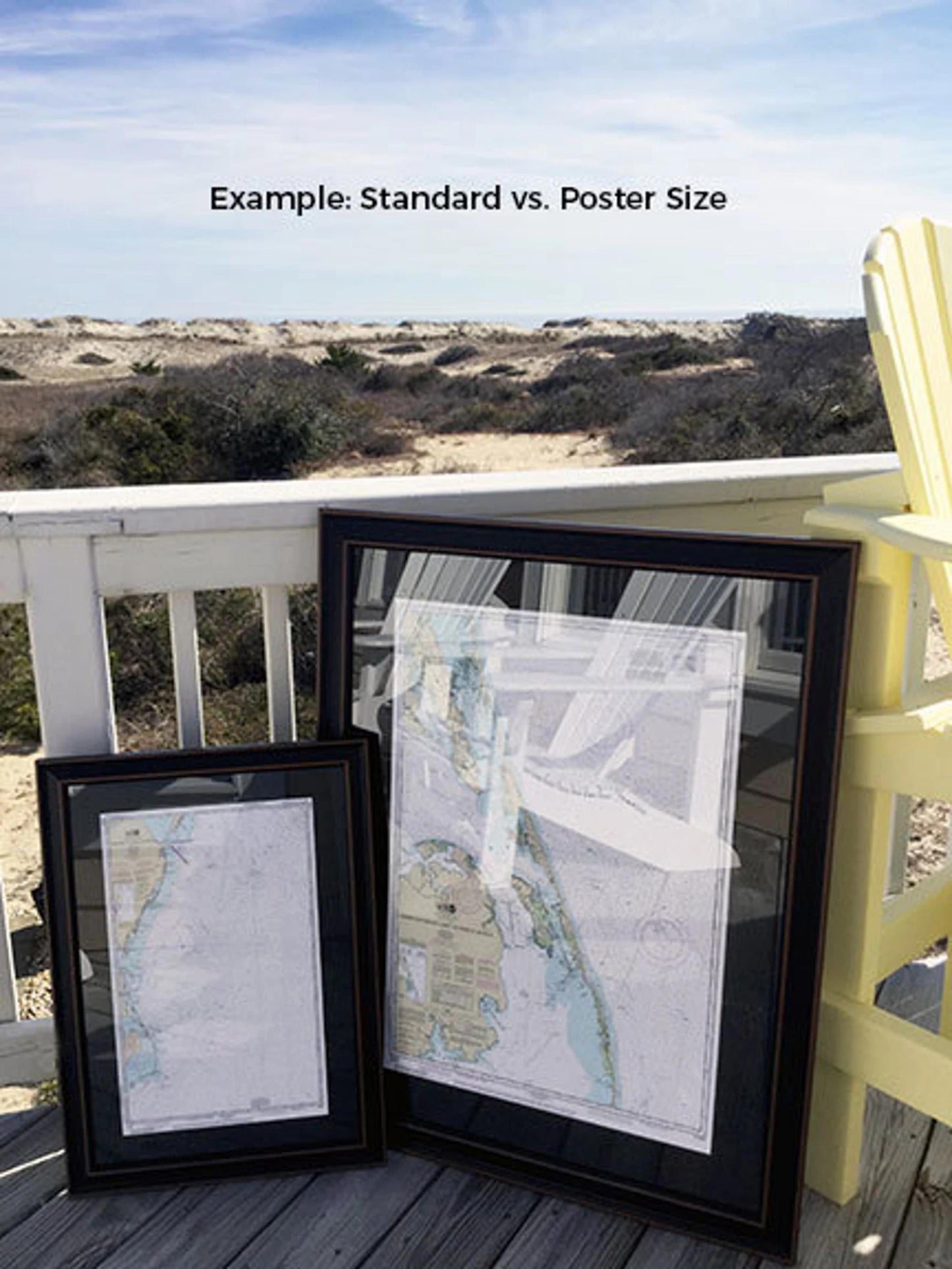
Choose from two frame sizes to suit your space:
- Standard size: Approx. 21 1/4" W x 24" H
- Poster size: Approx. 32" W x 36" H
If you’re interested in customizing your frame or have specific preferences, feel free to reach out to us with your ideas. We welcome any sample photos you may have to help us bring your vision to life.
*Important Shipping Note: Enjoy free ground shipping within the 48 contiguous states. We strive to keep shipping costs transparent and do not markup our rates. However, due to higher shipping costs to Alaska and Hawaii, please contact us for a personalized shipping quote.
Share