Framed Nautical Charts
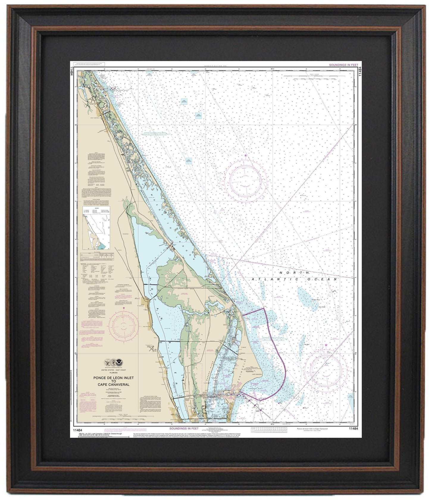
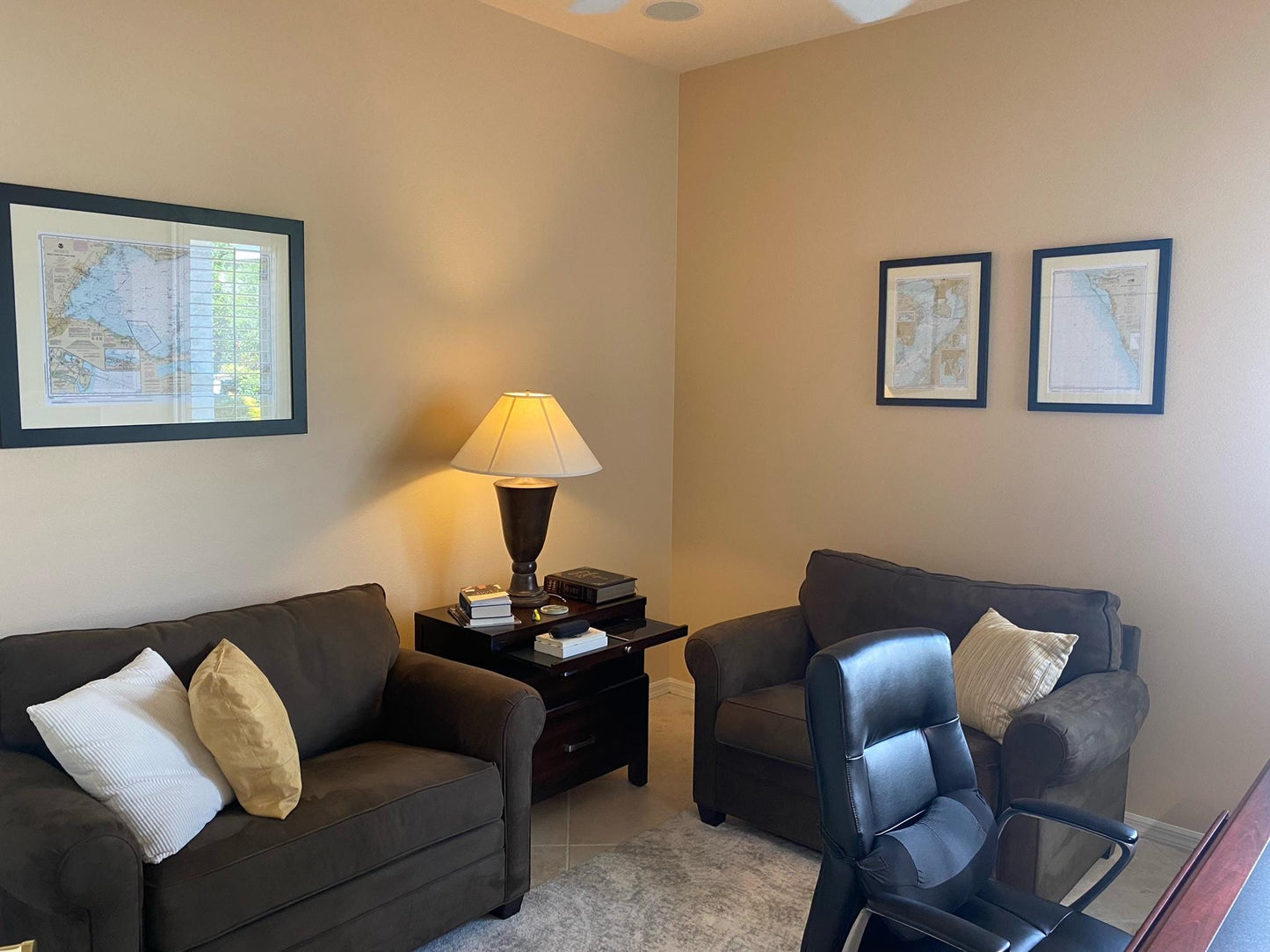
Framed Nautical Chart 11484 - Ponce de Leon Inlet to Cape Canaveral. NOAA 11484. Handmade in the USA.
Framed Nautical Chart 11484 - Ponce de Leon Inlet to Cape Canaveral. NOAA 11484. Handmade in the USA.
Couldn't load pickup availability
Discover the stunning beauty of Florida's waterways with our Framed Nautical Chart. This meticulously crafted piece features NOAA Chart 11484, capturing the scenic area from Ponce de Leon Inlet to Cape Canaveral. Each chart is custom handmade in the USA, showcasing exceptional craftsmanship and attention to detail.
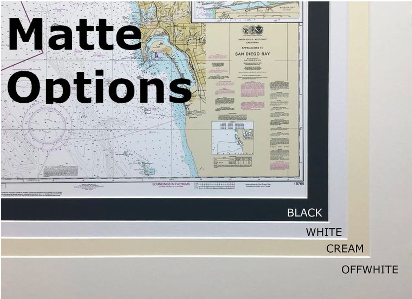
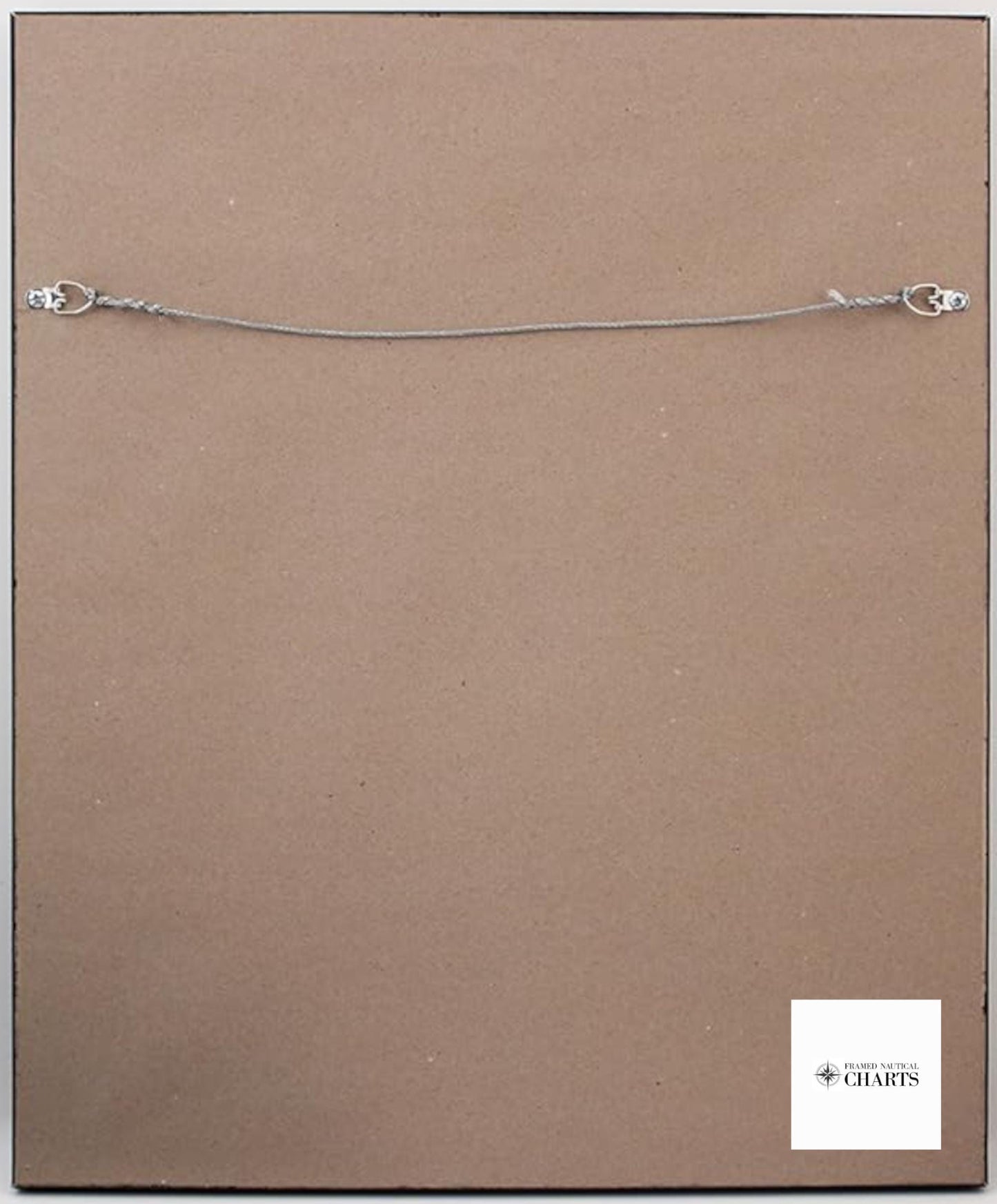
Your nautical map comes elegantly framed in solid wood, paired with a museum-quality print made from archival paper and inks. The design is completed with a sophisticated black mat, all protected by a glass front to ensure durability and clarity. The back is neatly finished with a paper duster, and each piece includes a wire hanger for easy installation.
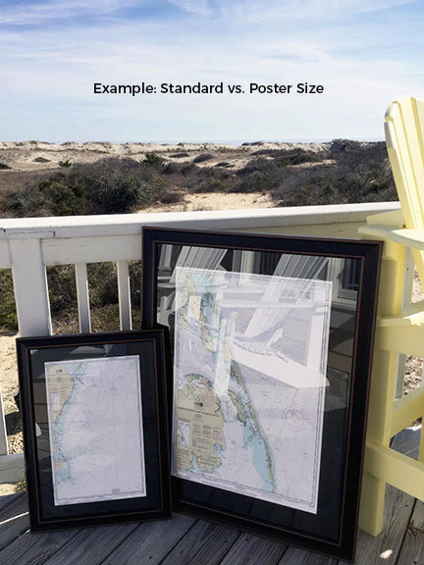
Choose between two convenient sizes for your framed nautical chart:
- Standard size: Outer frame dimensions are approximately 18 1/2" W x 24" H.
- Poster size: Outer frame dimensions are approximately 27 3/4" W x 36" H.
If you're seeking a different framing option, please feel free to reach out to us with your preferences. We’re happy to work with any sample photos you provide to help create exactly what you envision.
*Important Shipping Note: Free ground shipping is available for orders shipped to the 48 contiguous states. We do not mark up shipping costs; however, due to the higher shipping rates to Alaska and Hawaii, please contact us for a custom shipping quote.
Share