Framed Nautical Charts
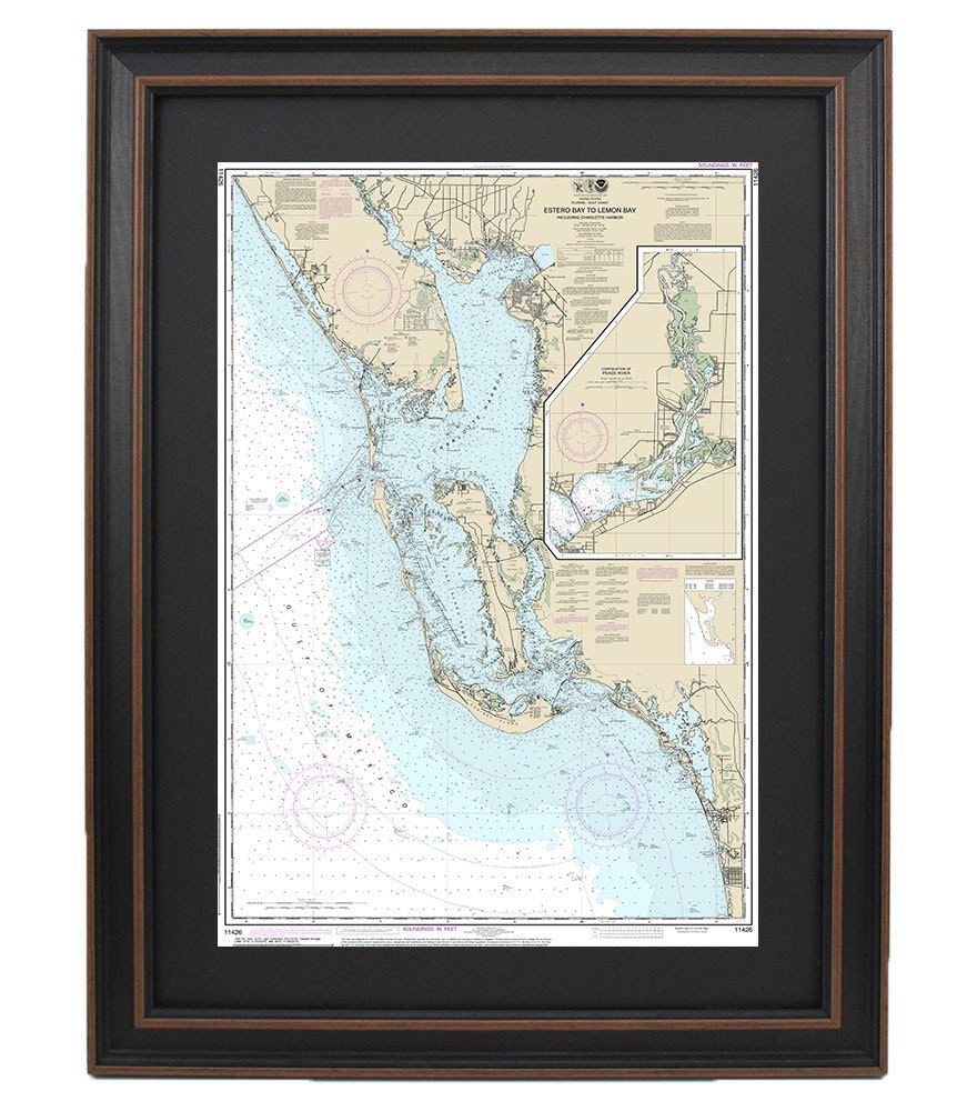
Framed Nautical Chart 11426 - Estero Bay to Lemon Bay. Sanibel Island & Charlotte Harbor. NOAA 11426. Handmade in the USA.
Framed Nautical Chart 11426 - Estero Bay to Lemon Bay. Sanibel Island & Charlotte Harbor. NOAA 11426. Handmade in the USA.
Couldn't load pickup availability
Explore the stunning waters of Florida with this beautifully framed nautical chart, covering the serene Sanibel Island and the routes from Estero Bay to Lemon Bay, including the picturesque Charlotte Harbor. This official NOAA nautical chart showcases the intricate waterways along Florida's captivating coastline, making it a perfect addition to any maritime collection or coastal-themed decor.
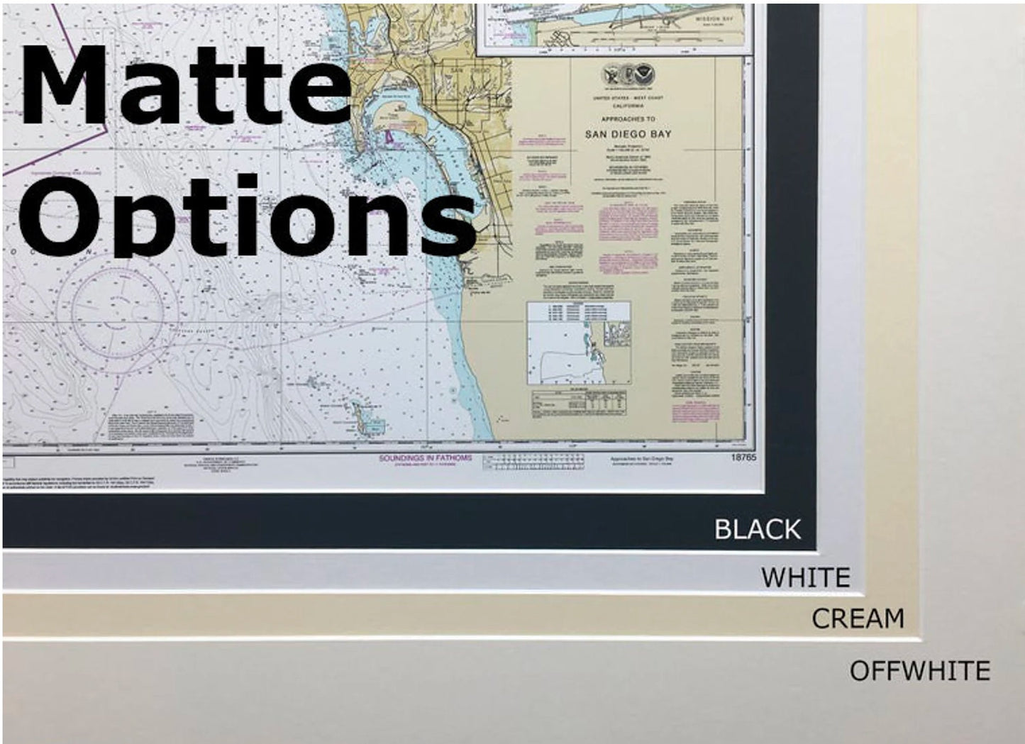
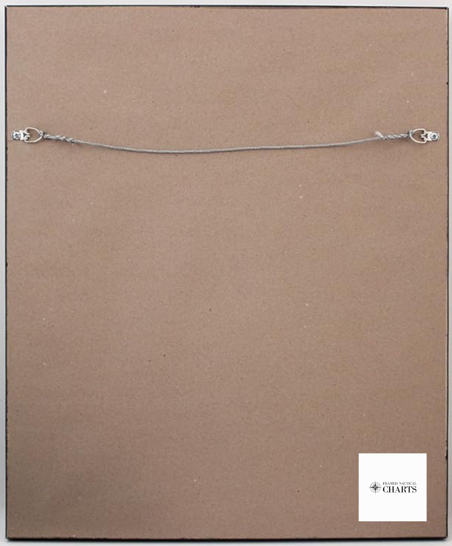
Each chart is meticulously handcrafted in the USA, ensuring exceptional craftsmanship and attention to detail. The chart comes in a solid wood frame, featuring a museum-quality print on archival paper with durable inks, guaranteed to stand the test of time. It's elegantly presented with a black mat and protected by a glass front for a polished look. The back is completed with a paper duster and includes a wire hanger for easy installation on your wall.
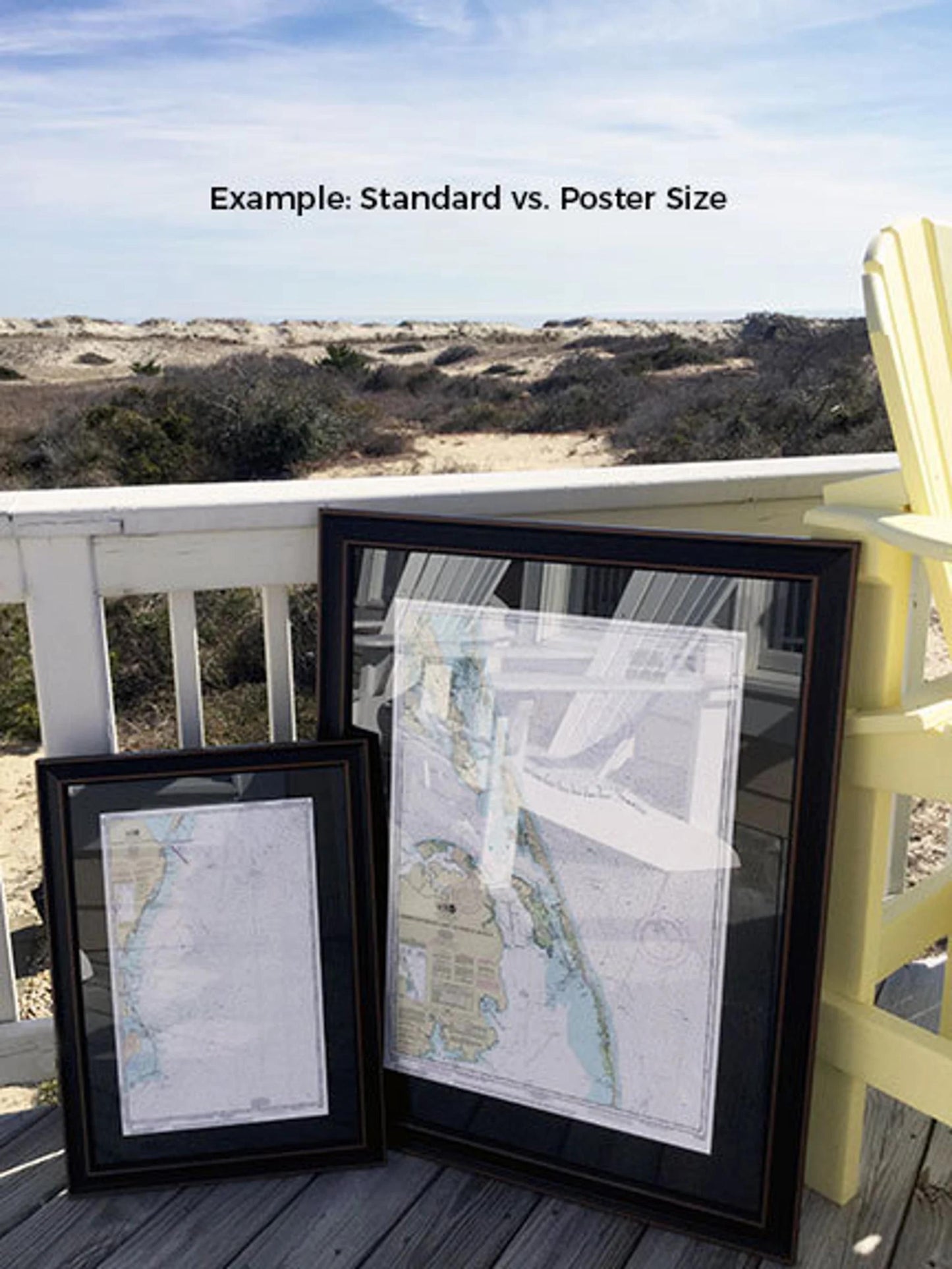
We offer two frame sizes to suit your space:
- Standard size: Outer frame dimensions are approximately 24" H x 16.5" W
- Poster size: Outer frame dimensions are approximately 36" H x 24.75" W
If you're interested in a different frame option, we would love to work with you! Please share any sample photos or ideas you have, and we’ll help bring your vision to life.
*Important Shipping Note: We offer free ground shipping for deliveries within the 48 contiguous states. While we do not impose additional shipping costs, please contact us for custom shipping quotes, especially for deliveries to Alaska and Hawaii, due to varying shipping rates.
Share