Framed Nautical Charts
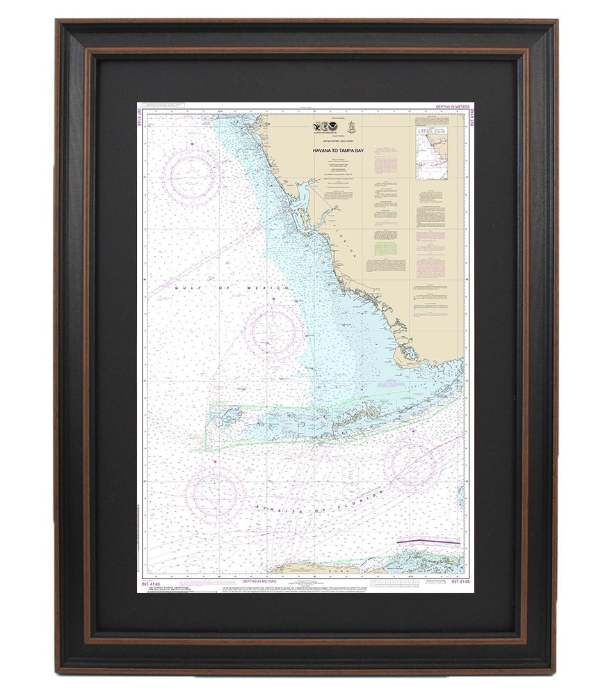
Framed Nautical Chart 11420 - Havana to Tampa Bay. NOAA 11420. Handmade in the USA.
Framed Nautical Chart 11420 - Havana to Tampa Bay. NOAA 11420. Handmade in the USA.
Couldn't load pickup availability
This beautifully framed nautical map showcases the stunning waterways from Havana, Cuba, to Tampa Bay, Florida. As an official NOAA Nautical Chart, it meticulously details the rich maritime landscape of South Florida, making it an ideal addition for nautical enthusiasts and anyone who appreciates the beauty of coastal navigation.
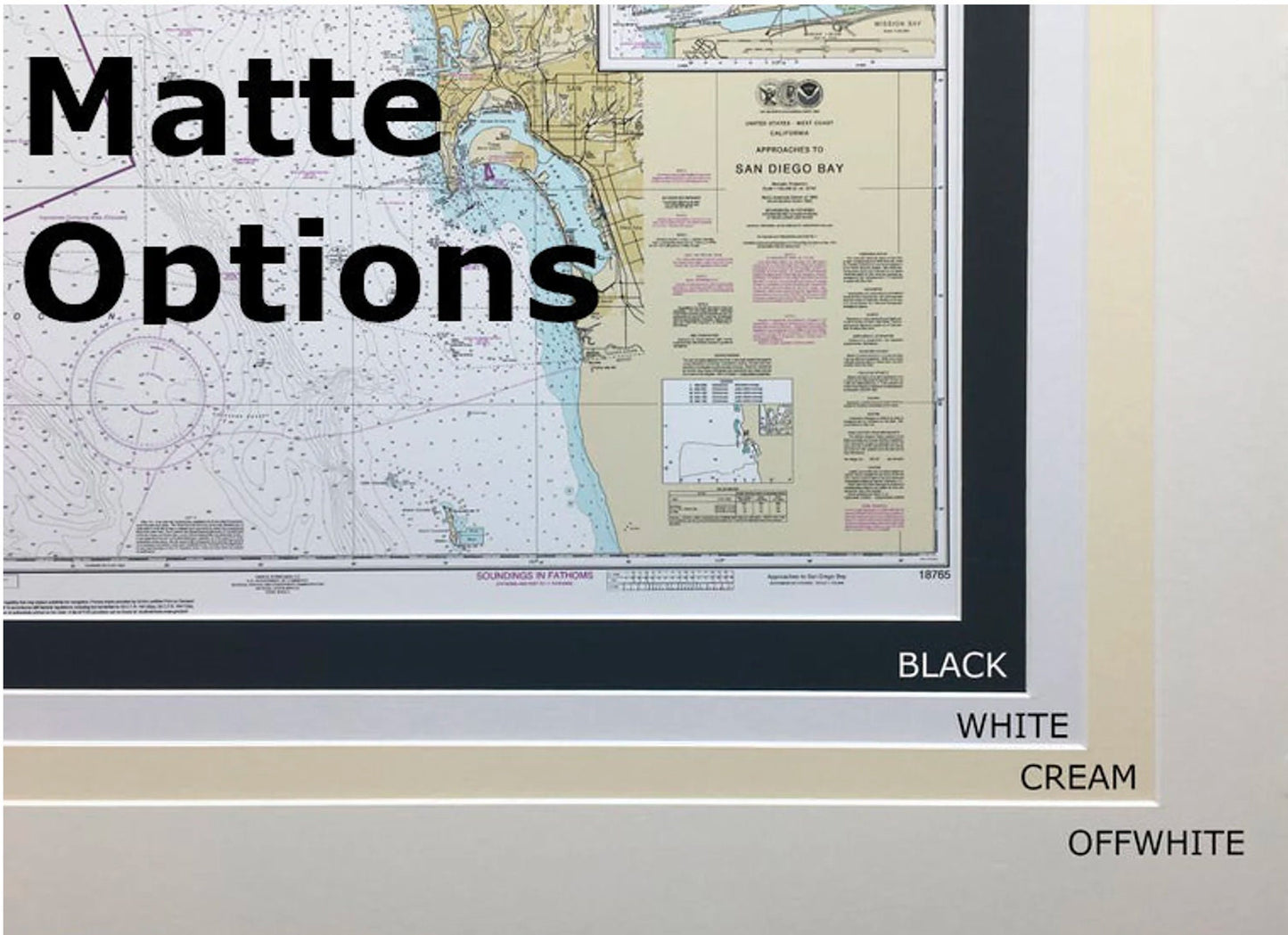
Each chart is thoughtfully custom handmade in the USA, emphasizing exceptional craftsmanship. The nautical chart is elegantly displayed within a solid wood frame, featuring a museum-quality print produced with archival paper and inks to ensure longevity and vibrancy. Enhancing its presentation, the chart is accompanied by a sophisticated black mat and protected by a glass front, maintaining the integrity of the artwork.
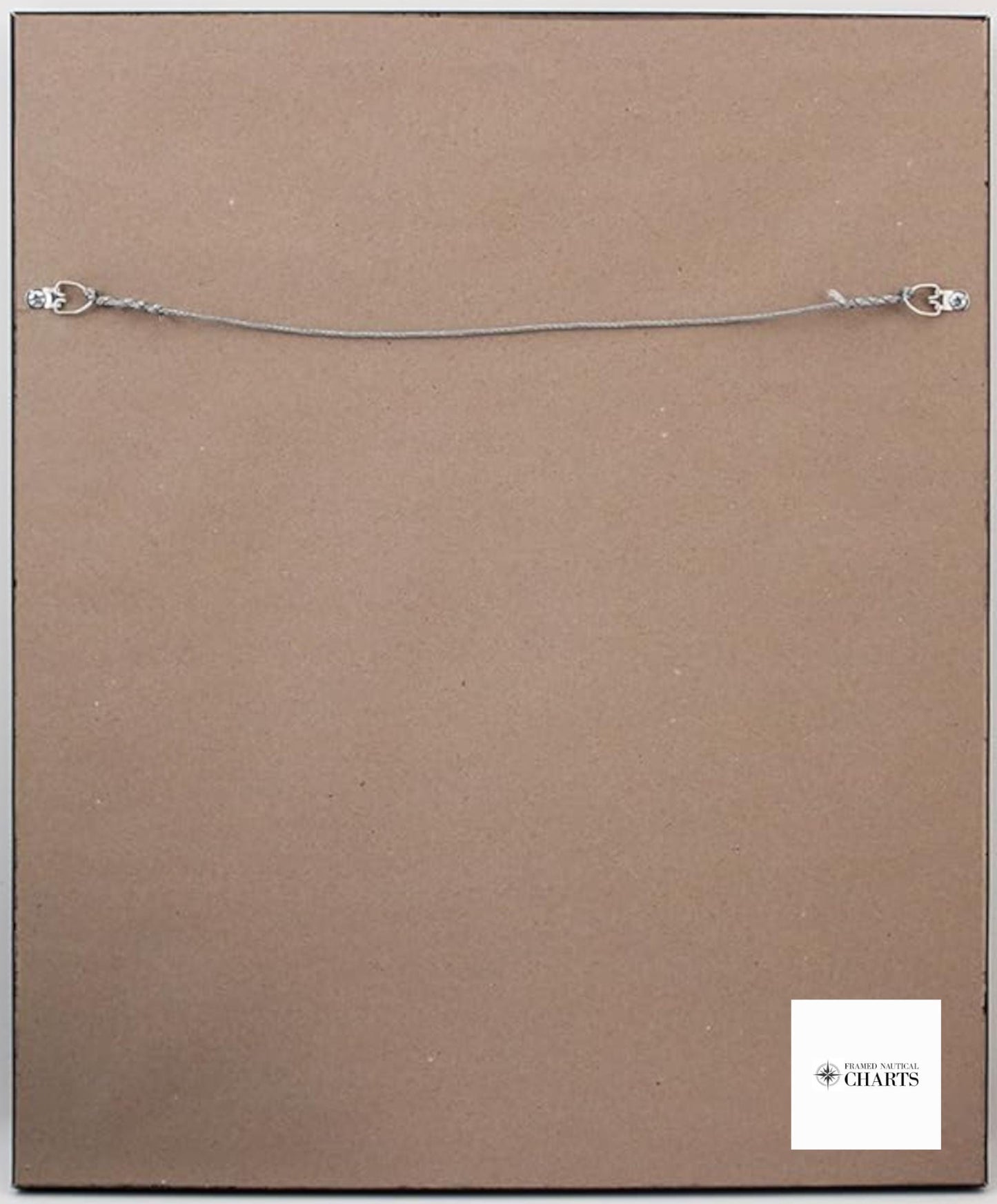
To provide a polished finish, the back of the frame is lined with a paper duster, and a wire hanger is included for easy installation. Our frames are available in two sizes to suit your space:
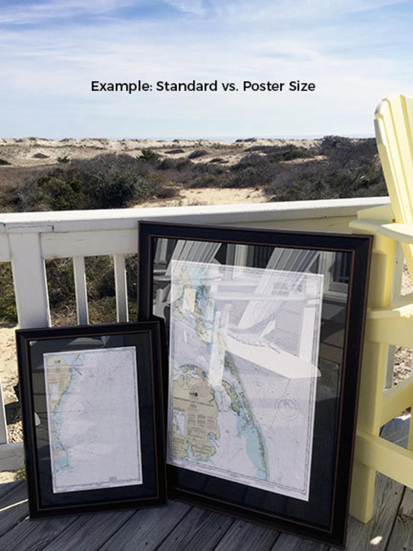
- Standard size: Approximately 24" H x 15 3/4" W
- Poster size: Approximately 36" H x 24" W
If you're interested in a custom framing option, don't hesitate to reach out with your request. We welcome any sample photos you have to help us create your perfect piece.
*Important Shipping Note: Free ground shipping applies only to orders within the 48 contiguous states. We strive to keep shipping costs transparent and do not add surcharges. However, due to the higher costs of shipping to Alaska and Hawaii, please contact us for a custom shipping quote.
Share