Framed Nautical Charts
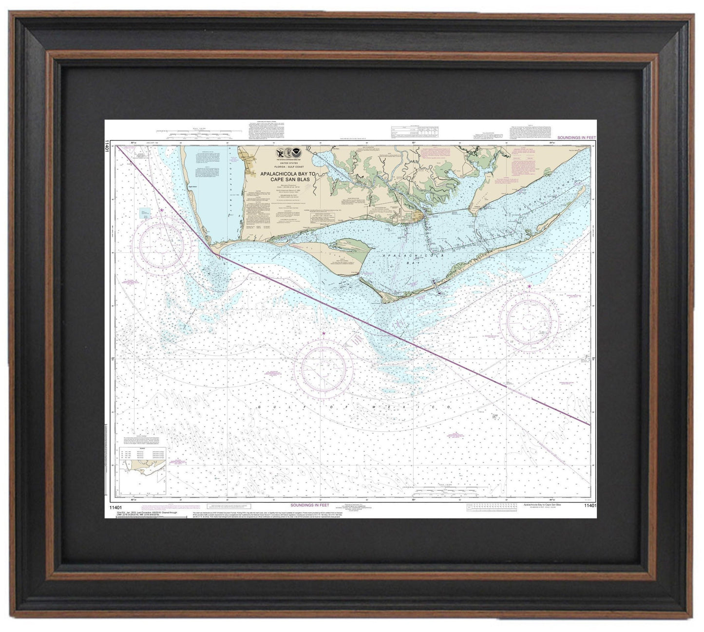
Framed Nautical Chart 11401 - Apalachicola Bay to Cape San Blas. NOAA 11401. Handmade in the USA.
Framed Nautical Chart 11401 - Apalachicola Bay to Cape San Blas. NOAA 11401. Handmade in the USA.
Couldn't load pickup availability
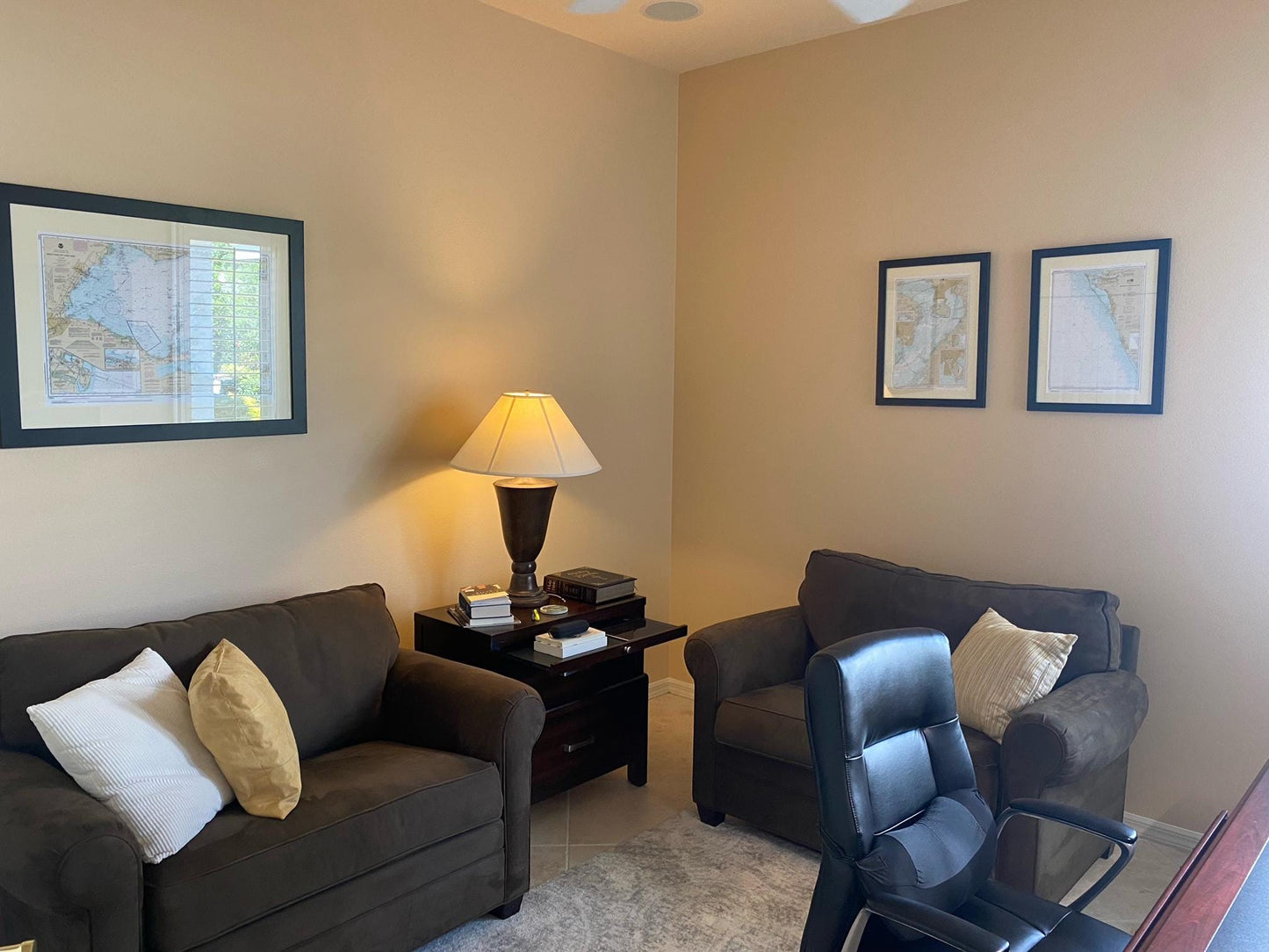
Discover the beauty of the Florida coastline with our Framed Nautical Chart, which intricately depicts the waters from Apalachicola Bay to Cape San Blas. As the official NOAA Nautical Chart 11401, this exquisite map provides detailed insights into the region's waterways, making it both a functional piece for navigation and a stunning work of art for your home or office.
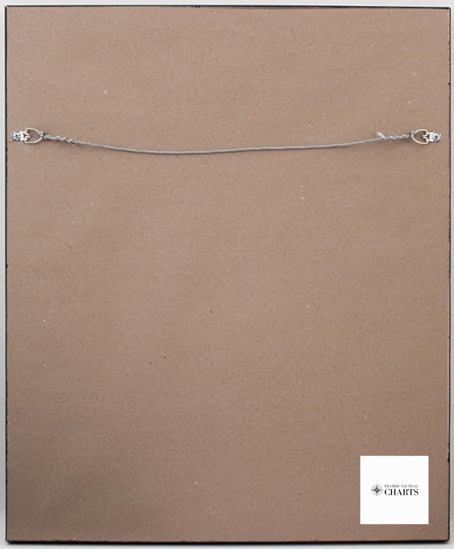
Handcrafted in the USA, each chart showcases exceptional craftsmanship and quality. The chart is elegantly framed in solid wood and features a museum-quality print on archival paper using fade-resistant inks, ensuring durability and visual appeal. It is set against a sophisticated black mat and protected by a glass front, allowing for clear visibility while keeping it safeguarded from dust and damage. The back is neatly finished with a paper duster, and the included wire hanger offers easy installation on your wall.
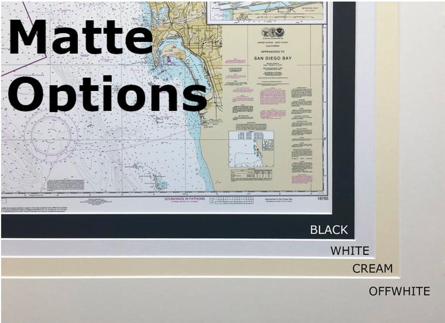
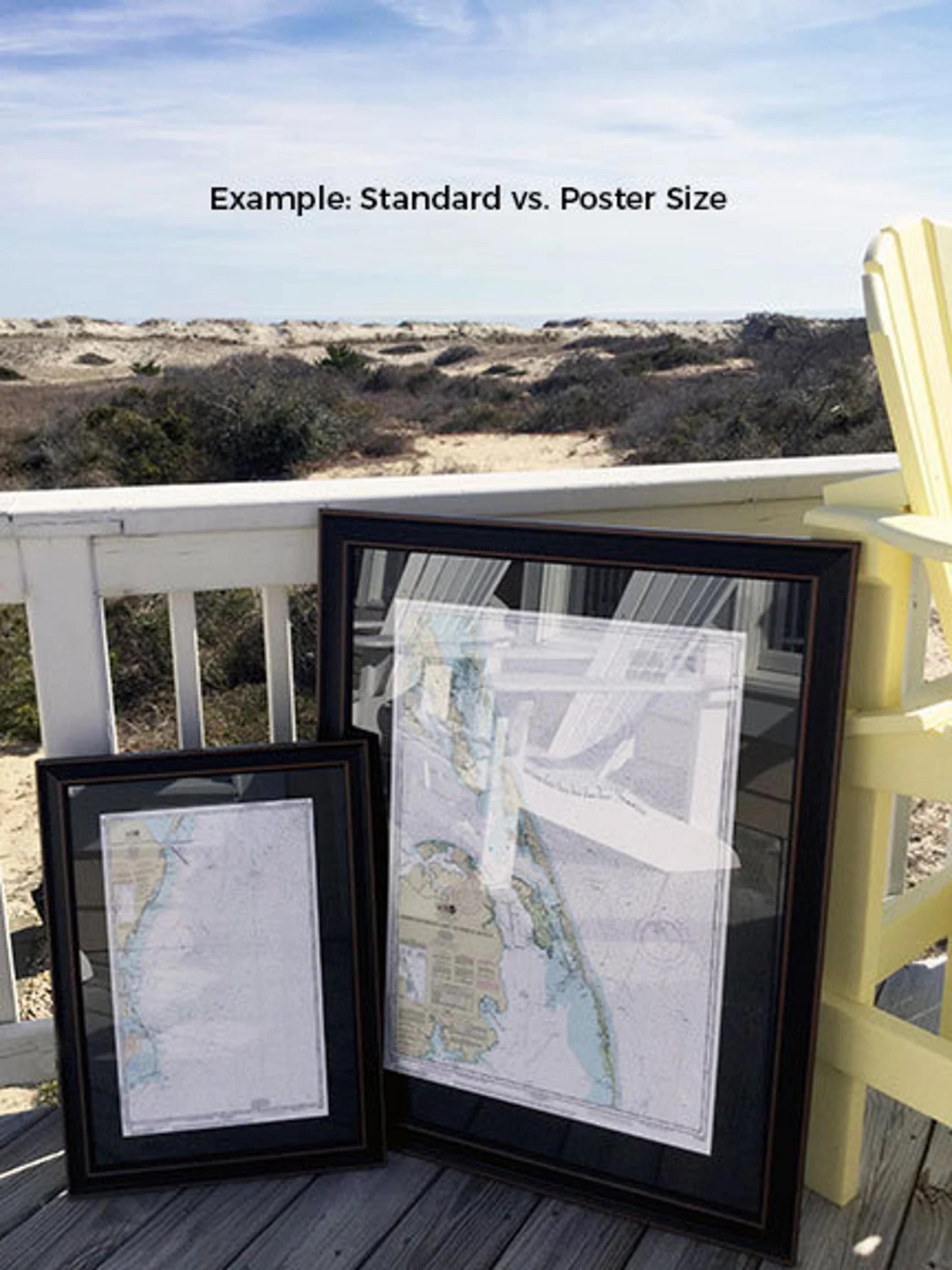
Choose from two frame sizes to perfectly fit your space:
- Standard Size: Outer frame dimensions approximately 24" W x 19 3/4" H
- Poster Size: Outer frame dimensions approximately 36" W x 29" H
If you have specific framing preferences or would like to explore other frame options, please feel free to contact us. We are happy to collaborate with you to create the perfect custom piece.
*Important Shipping Note: We offer free ground shipping within the 48 contiguous states. While we don’t inflate shipping costs, please be aware that shipping to Alaska and Hawaii incurs higher fees. For custom shipping quotes, kindly reach out to us directly.
Share