


Framed Nautical Charts
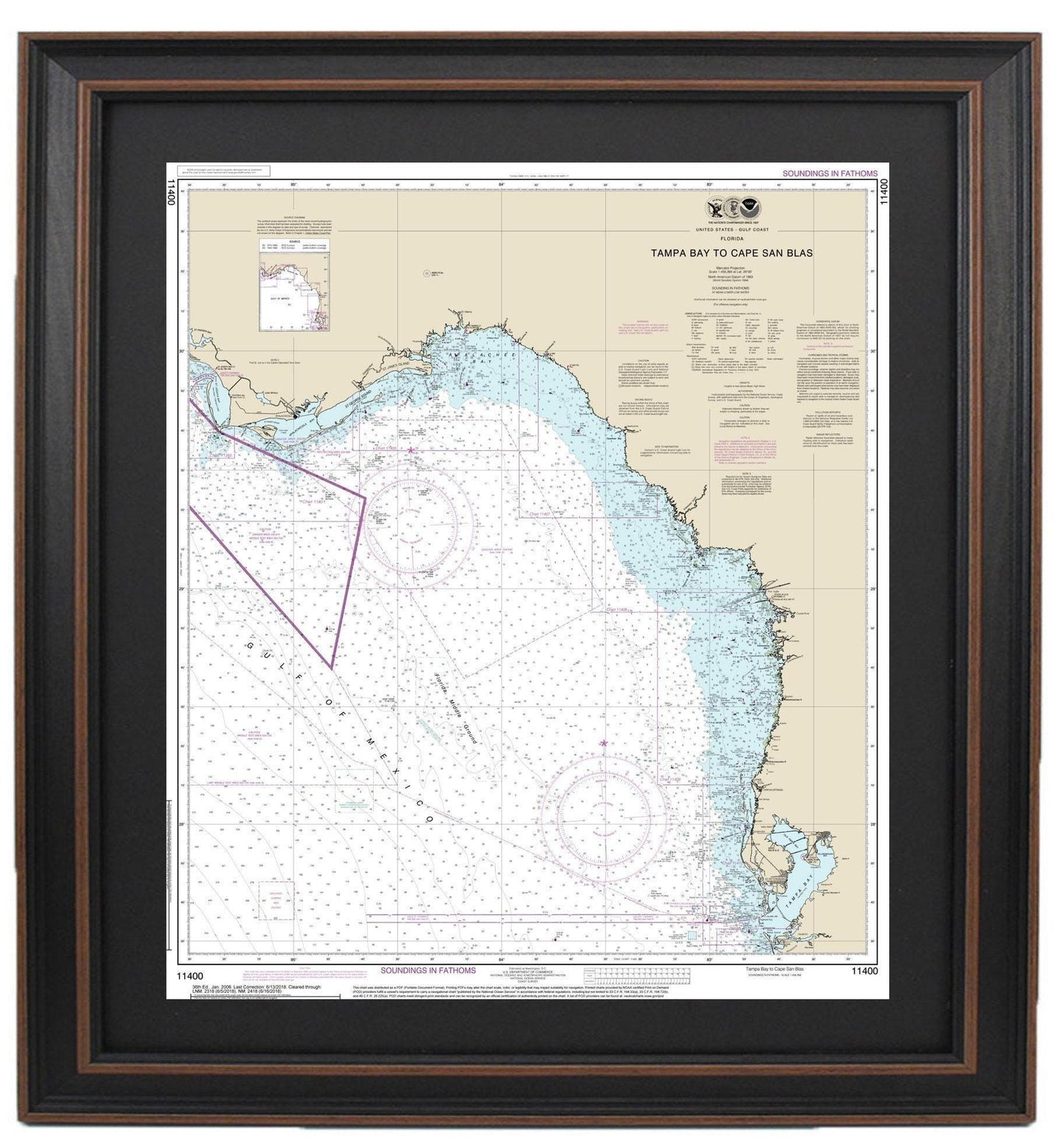
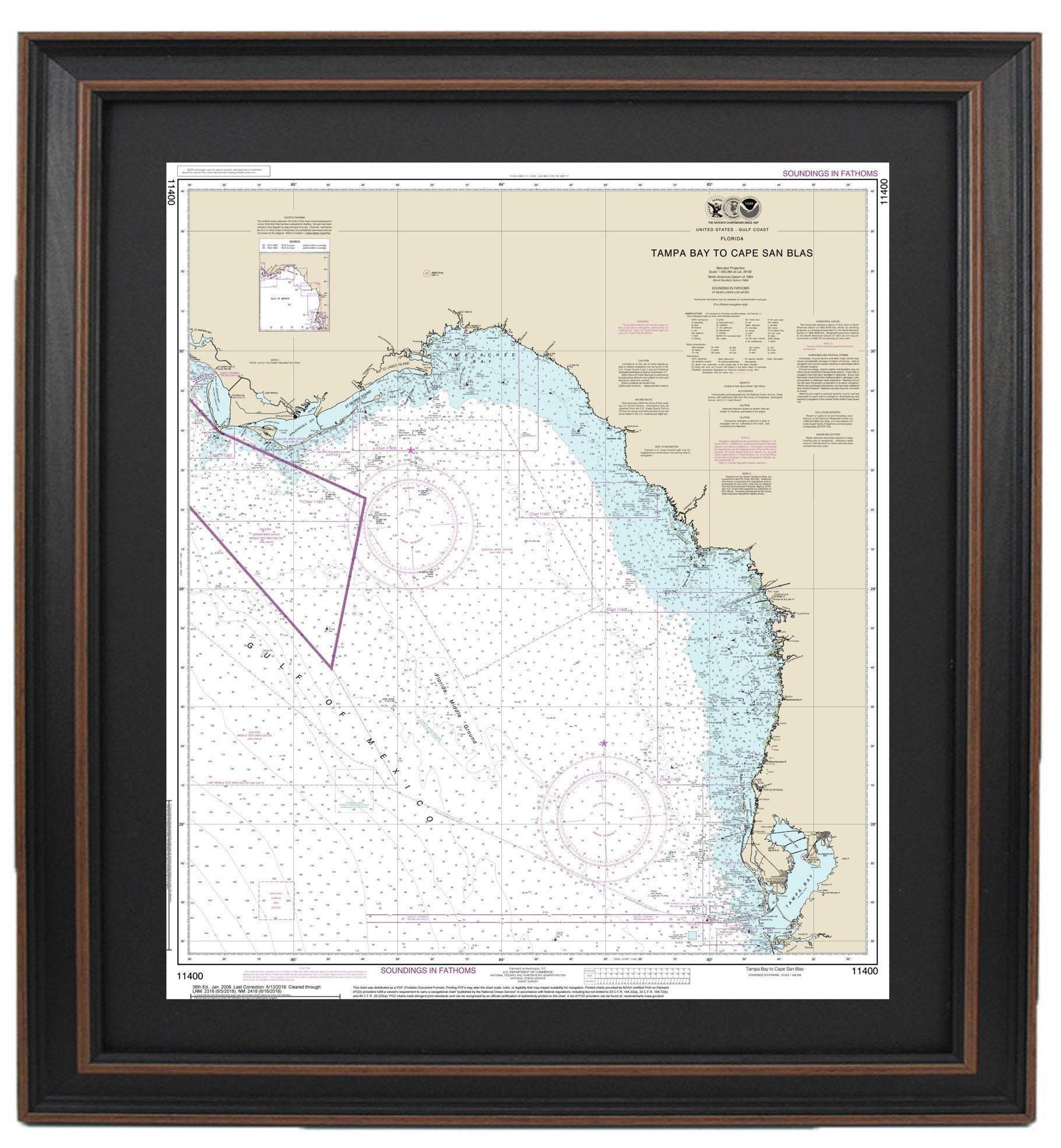
Framed Nautical Chart 11400 - Tampa Bay to Cape San Blas. NOAA 11400. Handmade in the USA.
Framed Nautical Chart 11400 - Tampa Bay to Cape San Blas. NOAA 11400. Handmade in the USA.
Couldn't load pickup availability
This beautifully framed nautical map captures the stunning coastline from Tampa Bay to Cape San Blas, featuring NOAA Nautical Chart 11400. As an official chart, it intricately details Florida’s remarkable waterways, making it a perfect addition to any ocean enthusiast’s collection.
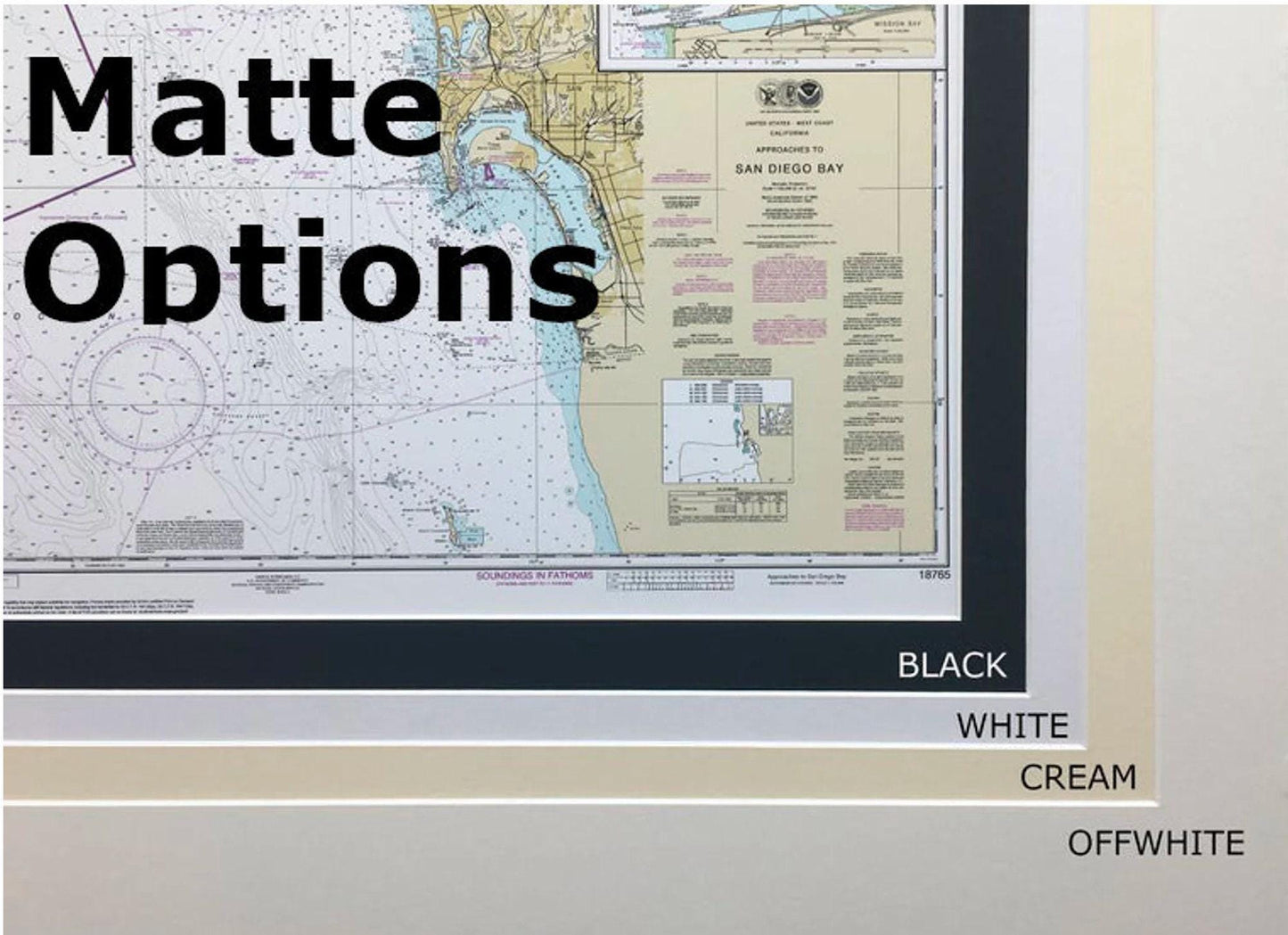
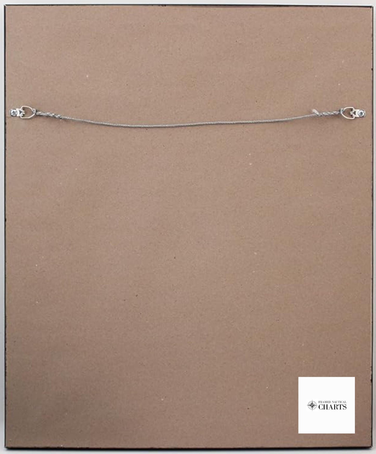
Each piece is thoughtfully handmade in the USA, showcasing superior craftsmanship. The chart is elegantly presented in a solid wood frame, complete with a museum-quality print printed on archival paper using premium inks. The artwork is enhanced by a stylish black mat and protected by a durable glass front, ensuring lasting beauty. The back is neatly finished with a paper duster, and a wire hanger is included for easy installation.
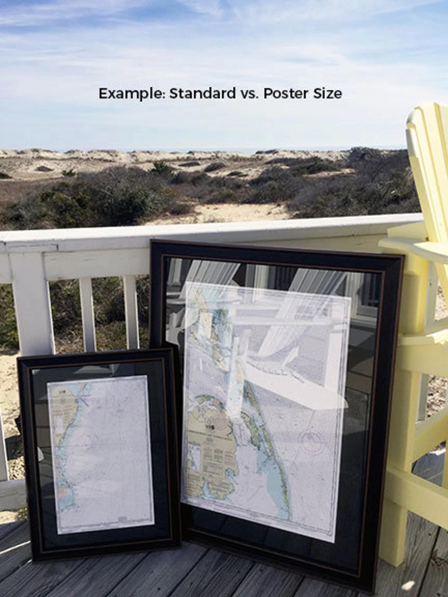
Choose from two frame sizes to fit your space:
- Standard size: Outer frame dimensions are approximately 20 3/4" W x 24" H.
- Poster size: Outer frame dimensions are approximately 31" W x 36" H.
If you have specific framing preferences or a vision in mind, feel free to reach out to us with your requests or any sample photos; we’re here to help bring your ideas to life.
*Important Shipping Note: Free ground shipping is available for destinations within the 48 contiguous states. While we do not inflate shipping costs, please contact us for custom shipping quotes for Alaska and Hawaii due to the higher shipping rates.
Share