Framed Nautical Charts
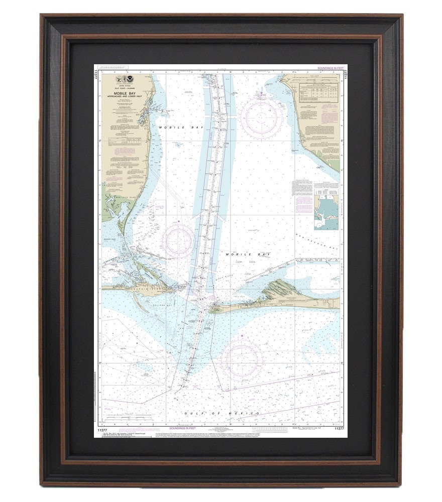
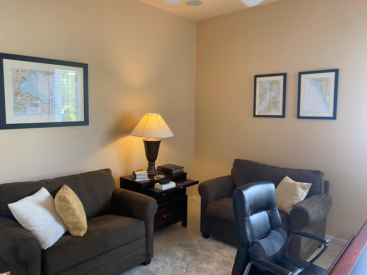
Framed Nautical Chart 11377 - Mobile Bay Approaches and Lower Half. NOAA 11377. Handmade in the USA.
Framed Nautical Chart 11377 - Mobile Bay Approaches and Lower Half. NOAA 11377. Handmade in the USA.
Couldn't load pickup availability
Discover the beauty of the Mobile Bay Approaches and Lower Half with our exquisite Framed Nautical Chart, officially recognized as NOAA Chart 11377. This high-quality nautical map is carefully handcrafted in the USA, showcasing exceptional craftsmanship and attention to detail.
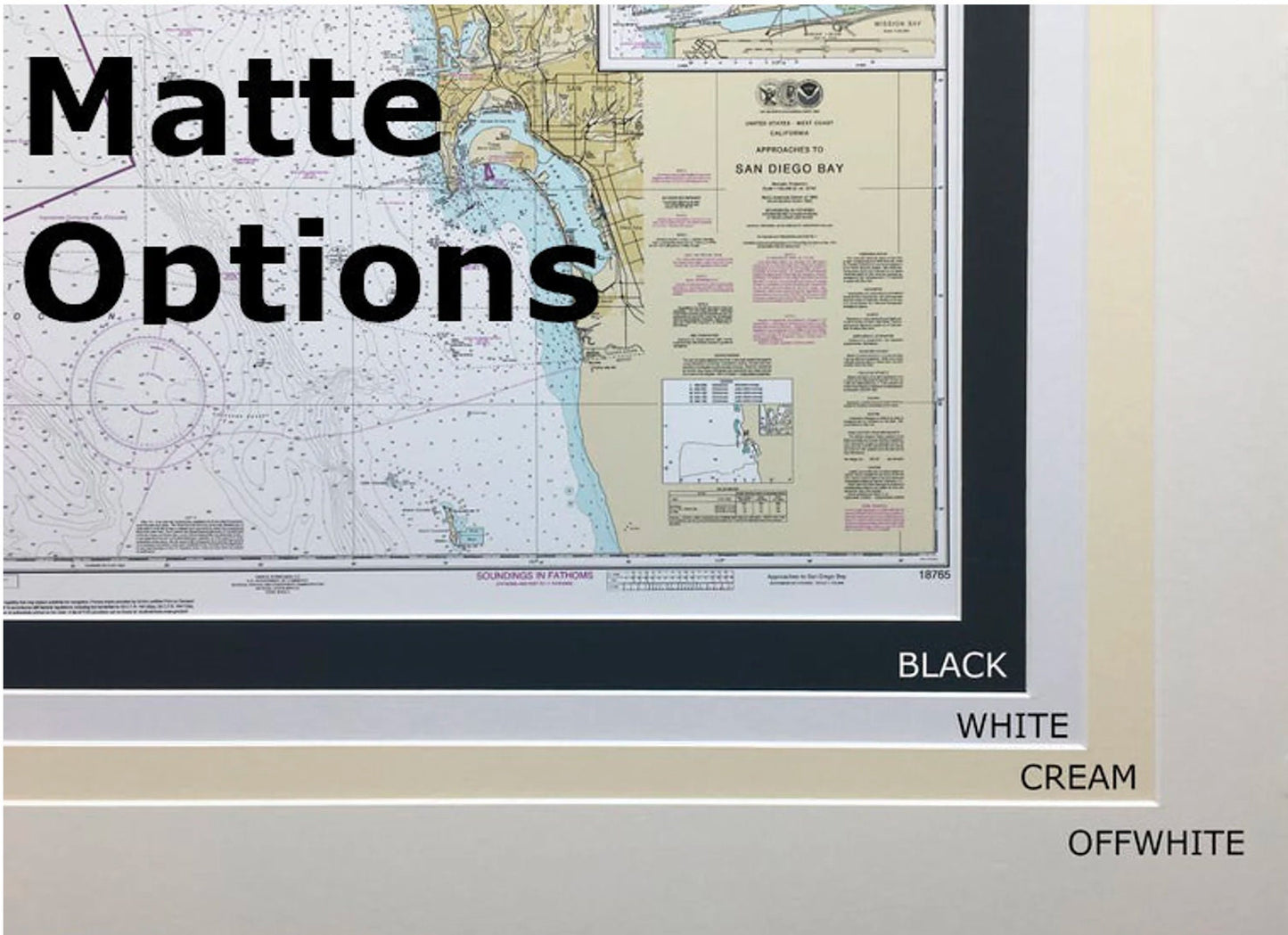
Each chart is presented in a solid wood frame, enhancing its classic design. The museum-quality print is created using archival paper and inks, ensuring durability and vibrant color that will last for years to come. Finished with a black mat and protected by a glass front, this framed chart is not only a functional navigation tool but also a stunning piece of wall art for any maritime enthusiast.
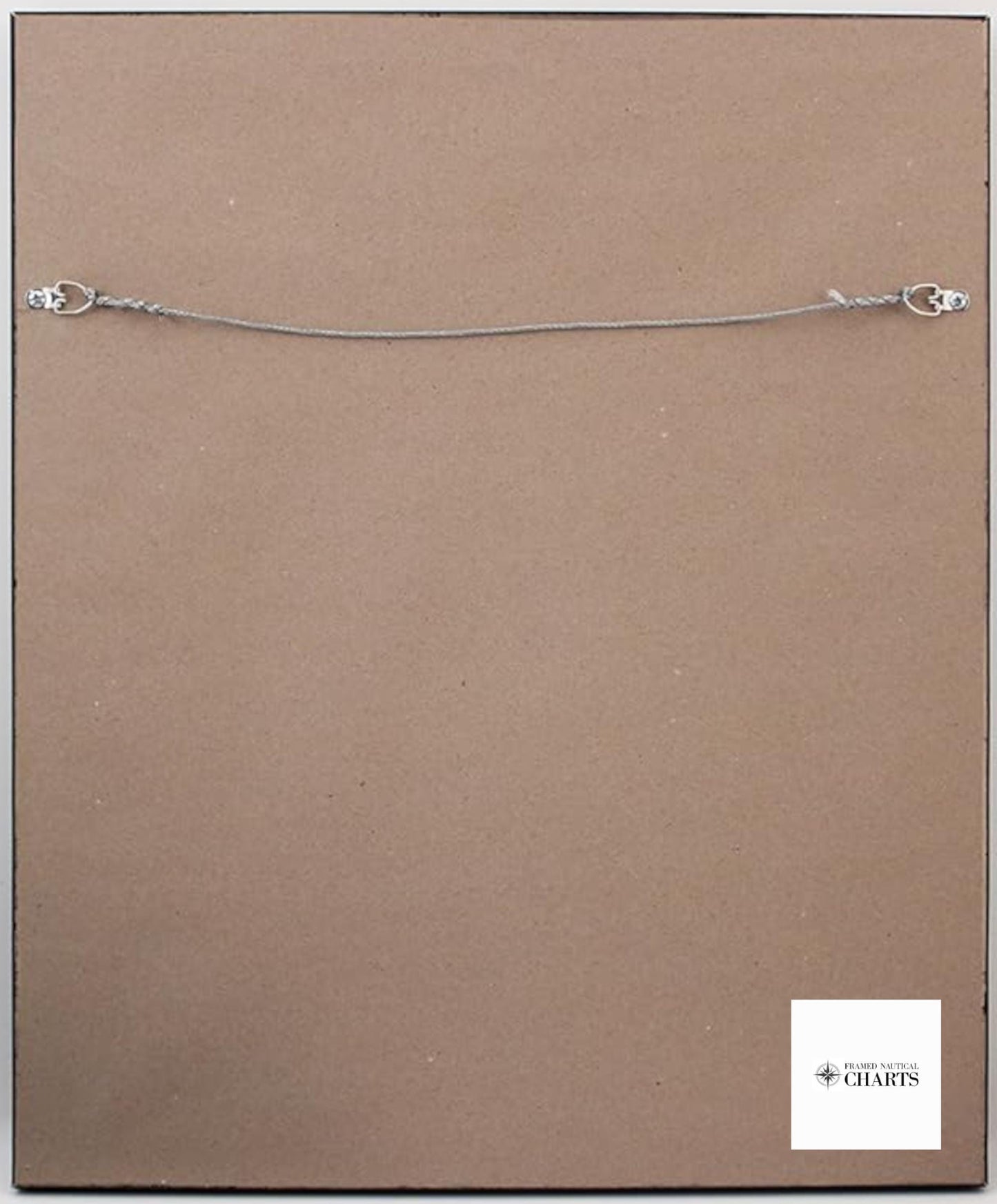
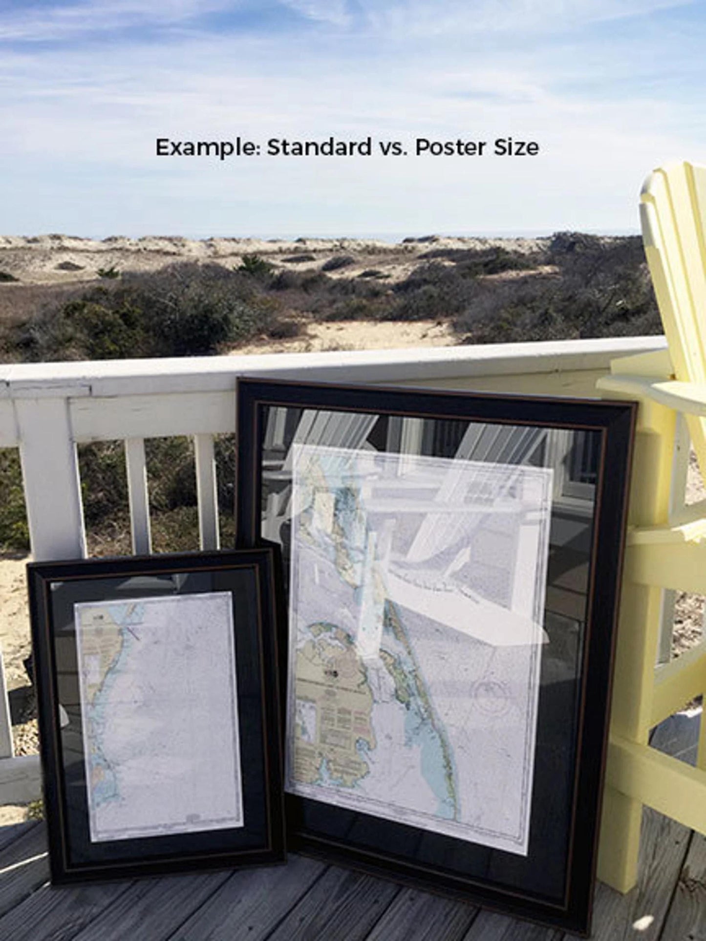
The back of the frame is equipped with a paper duster for a polished look, and a wire hanger allows for easy installation. Our frames are available in two sizes to suit your space:
- Standard size: Outer frame dimensions are approximately 16 1/4" W x 24" H.
- Poster size: Outer frame dimensions are approximately 24 1/4" W x 36" H.
If you’re seeking a different frame option, feel free to reach out to us with your specific request. We welcome any sample photos you may have to help us create the perfect piece that aligns with your vision.
*Important Shipping Note: We offer free ground shipping for orders within the 48 contiguous states. While we do not increase shipping costs, please contact us for a custom shipping quote if you are located in Alaska or Hawaii due to the higher shipping expenses involved.
Share