Framed Nautical Charts
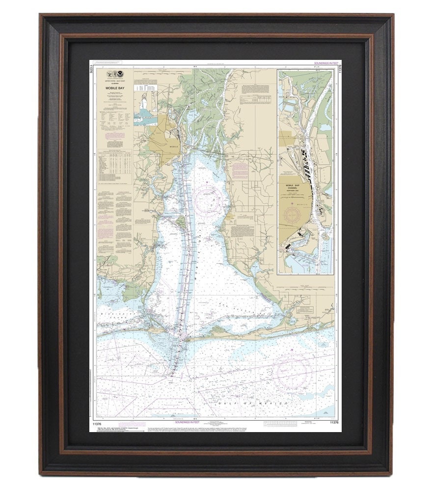
Framed Nautical Chart 11376 - Mobile Bay. NOAA 11376. Handmade in the USA.
Framed Nautical Chart 11376 - Mobile Bay. NOAA 11376. Handmade in the USA.
Couldn't load pickup availability
Explore the beauty of Mobile Bay with our meticulously crafted Framed Nautical Chart 11376. This official NOAA Nautical Chart intricately details the waterways of Mobile Bay and its surroundings off the Gulf of Mexico. Each chart is handcrafted in the USA, reflecting our commitment to high-quality craftsmanship and attention to detail.
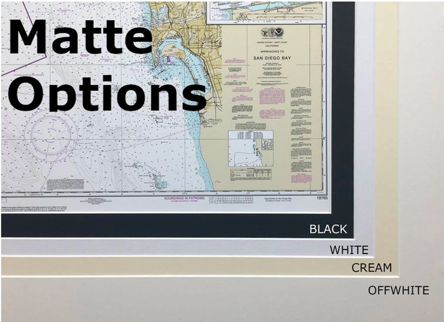
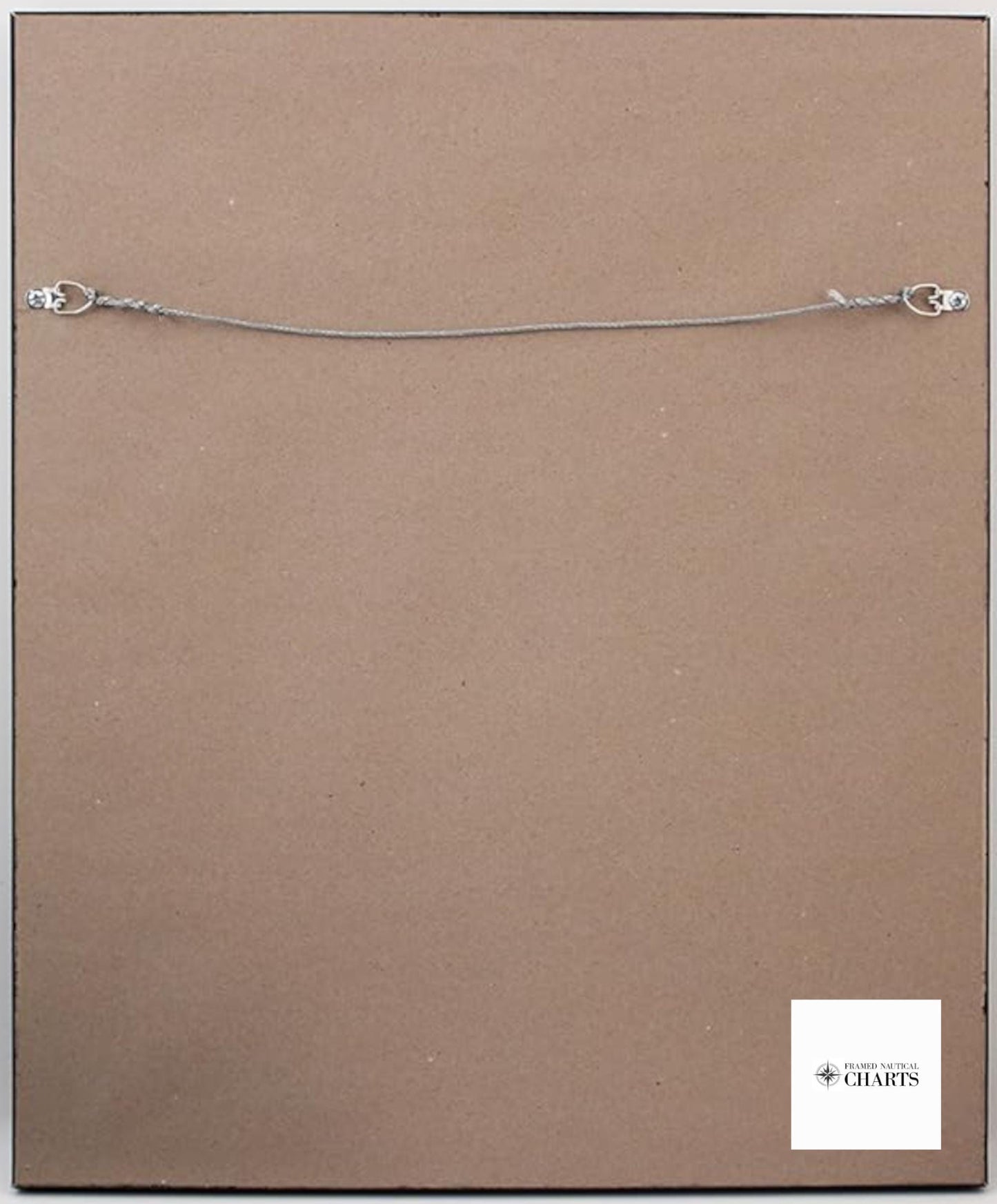
Presented in a solid wood frame, this nautical map features a museum-quality print produced on archival paper using premium inks, ensuring long-lasting vibrancy and durability. The presentation includes a sophisticated black mat, and the front is protected by a clear glass cover, allowing you to appreciate the intricate details without compromising on visibility. The back is elegantly finished with a paper duster, and it comes with a wire hanger for easy installation, making it a perfect addition to any space.
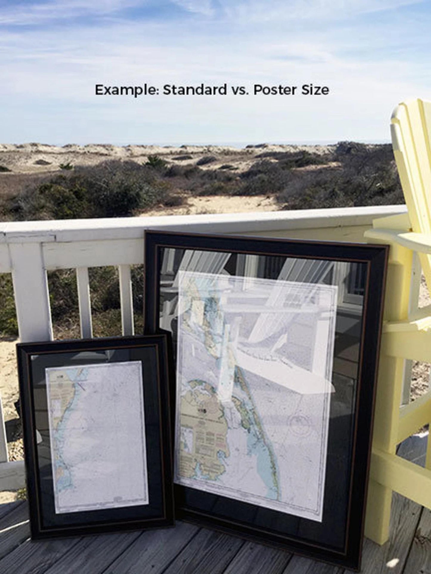
Our frames are available in two sizes to fit your needs:
- Standard size: Approximately 16 1/4" W x 24" H
- Poster size: Approximately 24 1/4" W x 36" H
Enjoy free ground shipping on this beautiful piece*, available only to the 48 contiguous states. While we keep our shipping costs low, please note that additional charges may apply for shipments to Alaska and Hawaii; contact us for personalized shipping quotes.
If you have a specific frame option in mind or would like to provide sample photos, we encourage you to reach out to us. We're dedicated to creating exactly what you envision.
Share