Framed Nautical Charts
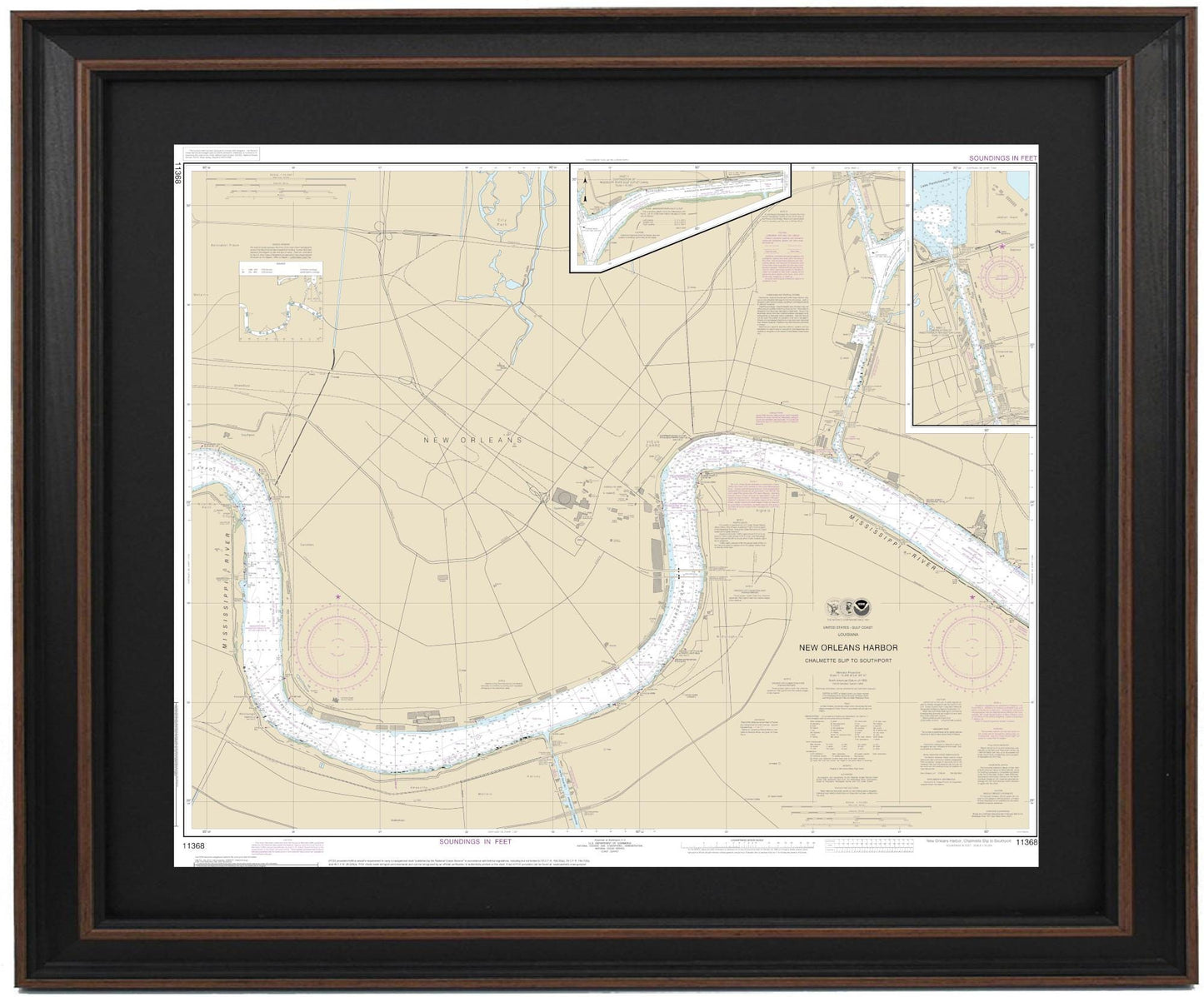
Framed Nautical Chart 11368 - New Orleans Harbor. Chalmette Slip to Southport. NOAA 11368. Handmade in the USA.
Framed Nautical Chart 11368 - New Orleans Harbor. Chalmette Slip to Southport. NOAA 11368. Handmade in the USA.
Couldn't load pickup availability
Discover the beauty and detail of the New Orleans Harbor with this exquisite framed nautical chart, covering the waterways from Chalmette Slip to Southport. This official NOAA Nautical Chart 11368 is carefully crafted to provide an accurate depiction of the region's intricate waterways. Each chart is handmade in the USA, showcasing exceptional craftsmanship and quality.
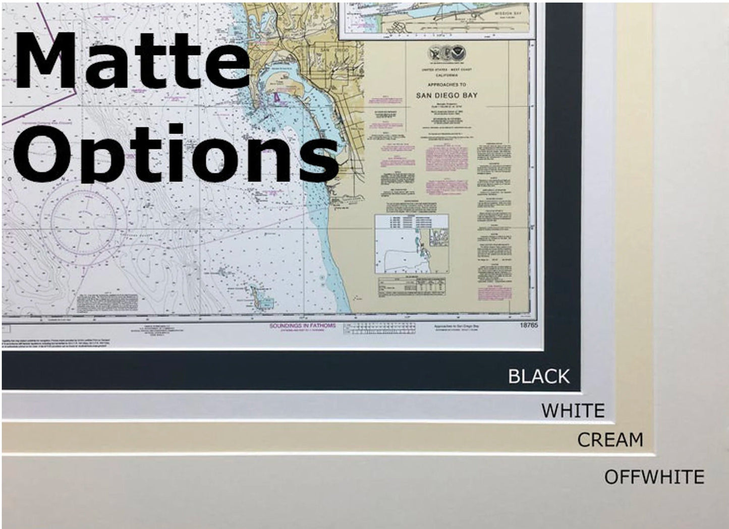
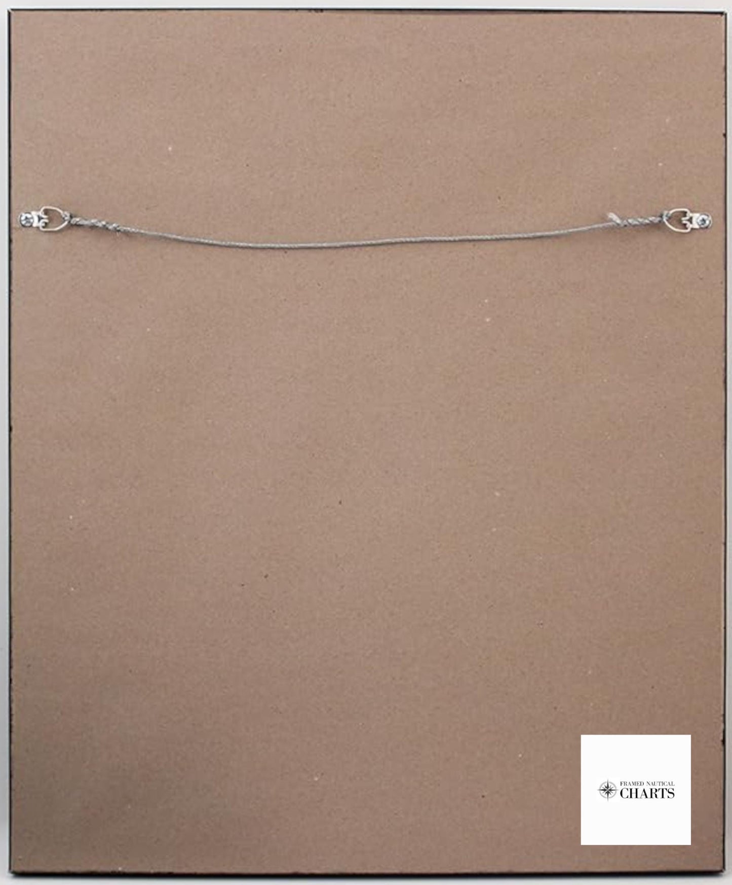
The chart is elegantly presented in a solid wood frame, complete with a museum-quality print on archival paper, ensuring longevity and vibrancy. It features a sophisticated black mat that enhances the display, all protected by a durable glass front. The back is finished with a paper duster for a polished look, and a wire hanger is included for easy installation.
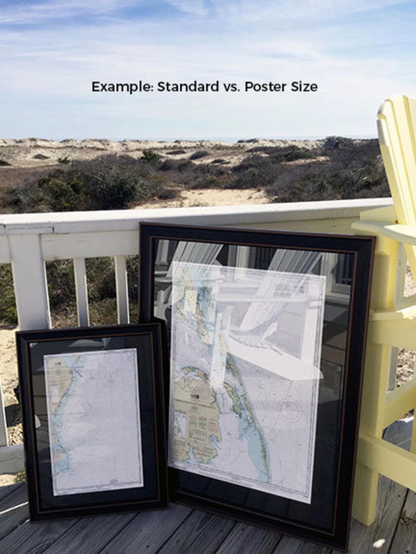
Choose from two sizes to best fit your space:
- Standard size: Approximately 24" W x 20" H
- Poster size: Approximately 36" W x 30" H
Whether you are decorating your home, office, or a nautical-themed space, this framed nautical chart makes a stunning statement. Enjoy complimentary ground shipping to the 48 contiguous states. Please contact us for custom shipping quotes if you are located in Alaska or Hawaii, as those shipping costs may differ.
If you are interested in a different frame option or have specific preferences, don’t hesitate to reach out. We welcome any sample photos or ideas you may have to help us bring your vision to life.
Share