Framed Nautical Charts
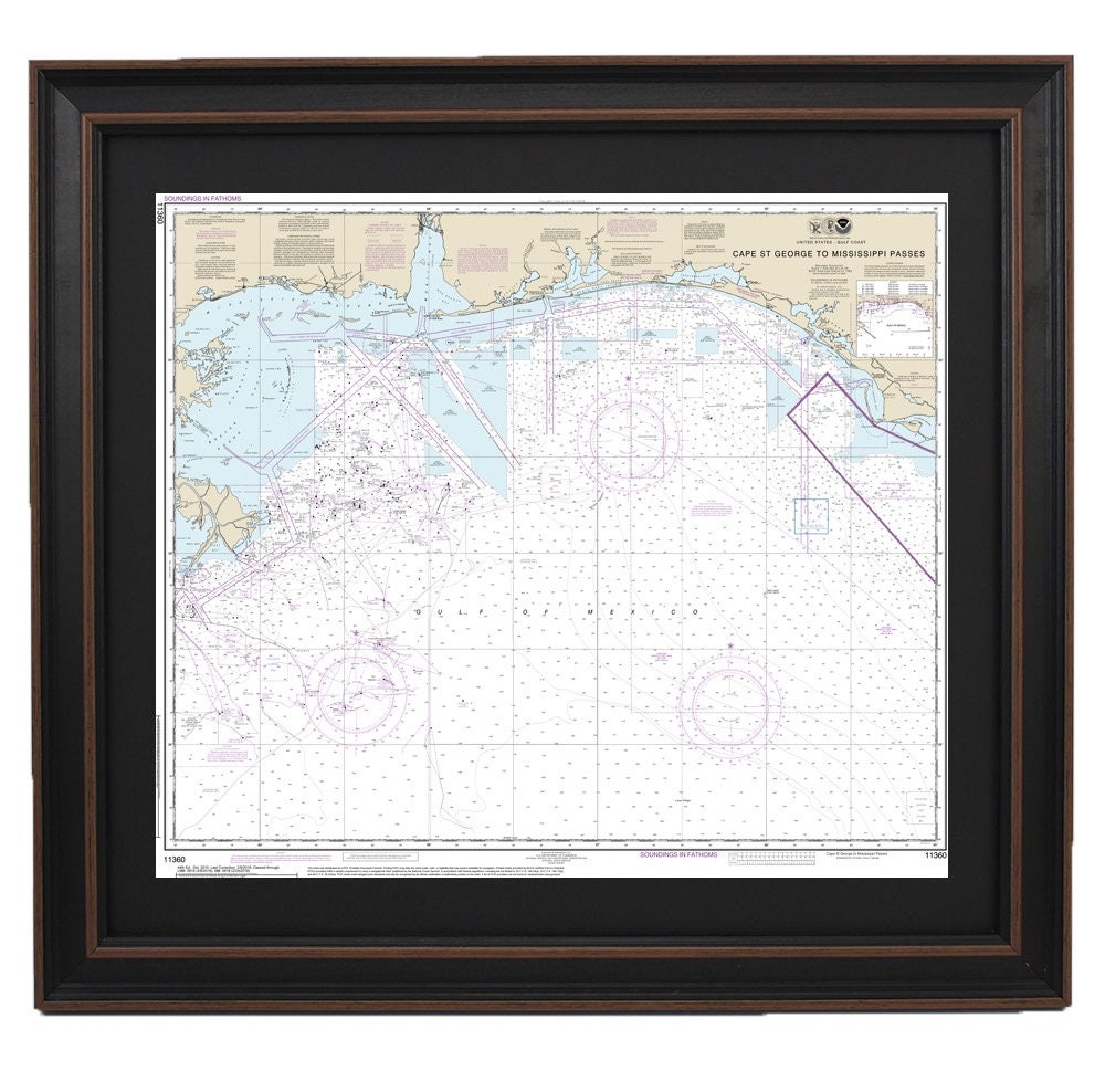
Framed Nautical Chart 11360 - Cape St. George to Mississippi Passes. NOAA 11360. Handmade in the USA.
Framed Nautical Chart 11360 - Cape St. George to Mississippi Passes. NOAA 11360. Handmade in the USA.
Couldn't load pickup availability
Discover the beauty and detail of the official NOAA Nautical Chart 11360, covering the stunning waterways from Cape St. George to Mississippi Passes. This meticulously crafted framed nautical map is handmade in the USA, showcasing exceptional quality and attention to detail.
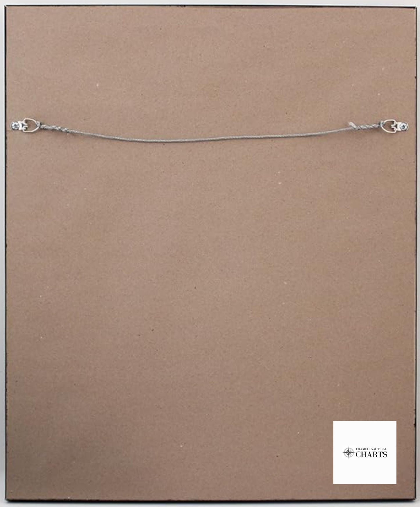
Each chart is printed on archival paper with fade-resistant inks, ensuring a long-lasting display. The map is elegantly presented in a solid wood frame, complete with a black mat for added sophistication. It is protected by a durable glass front, while the back features a paper duster for a polished finish, along with a sturdy wire hanger for effortless installation.
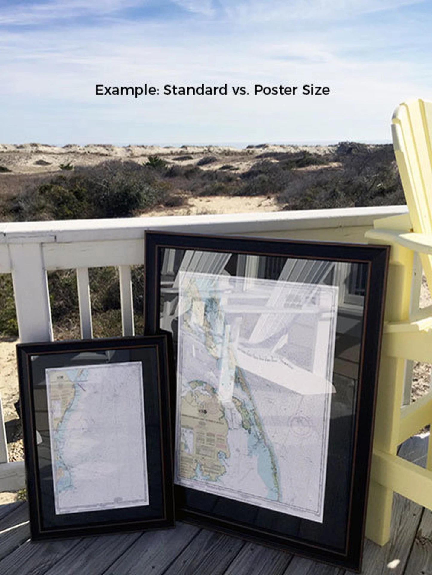
Choose from two generous frame sizes to suit your space:
- Standard size: Outer frame dimensions are approximately 24" W x 20 1/2" H.
- Poster size: Outer frame dimensions are approximately 36" W x 31" H.
Enjoy complimentary ground shipping to the 48 contiguous states*. For those seeking a different frame option, we encourage you to reach out with your requests and any sample photos you may have, so we can help create the perfect piece for your decor.
*Please note: Free ground shipping is exclusively for the contiguous 48 states. For shipments to Alaska and Hawaii, please contact us for a custom shipping quote, as additional charges may apply.
Share