Framed Nautical Charts
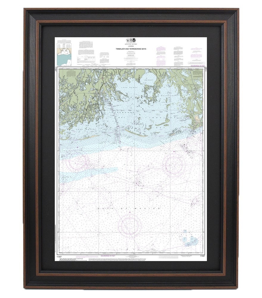
Framed Nautical Chart 11357 - Timbalier and Terrebonne Bays. NOAA 11357. Handmade in the USA.
Framed Nautical Chart 11357 - Timbalier and Terrebonne Bays. NOAA 11357. Handmade in the USA.
Couldn't load pickup availability
Discover the beauty of the Timbalier and Terrebonne Bays with this exquisite Framed Nautical Chart (NOAA 11357). This detailed map showcases the intricate waterways of the region, making it a perfect addition for enthusiasts of maritime navigation or coastal decor. Each chart is thoughtfully handmade in the USA, ensuring exceptional craftsmanship and quality.
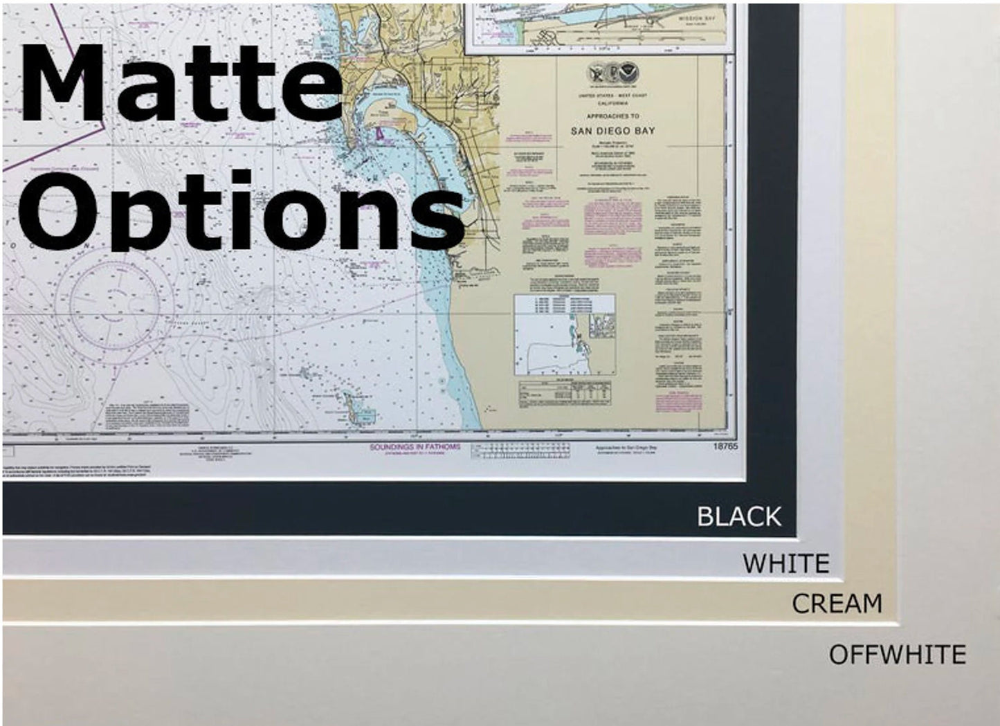
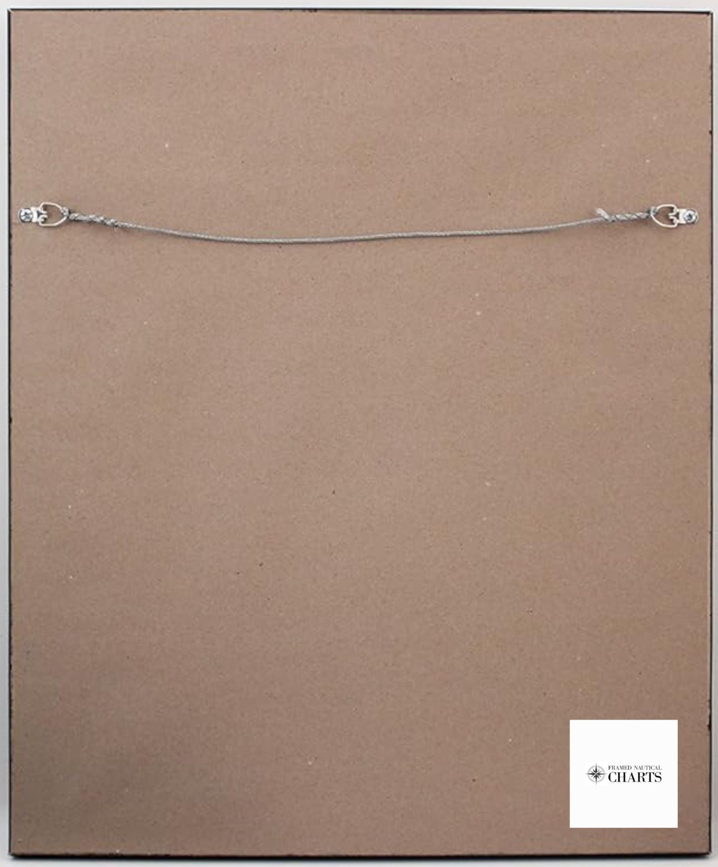
This framed nautical chart comes in a solid wood frame and features a museum-quality print produced on archival paper with durable inks. The design is enhanced by a sophisticated black mat and protected by a glass front, which adds a polished touch while safeguarding the artwork. The back is neatly finished with a paper duster and includes a wire hanger, providing easy installation for your convenience.
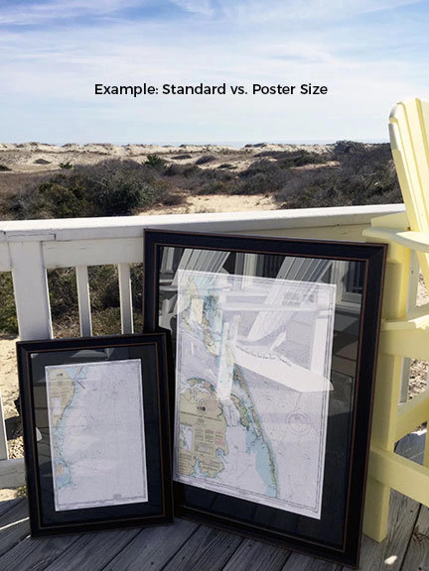
Choose from two frame sizes to suit your preference:
- Standard size: Outer frame dimensions approximately 16 1/4" W x 24" H.
- Poster size: Outer frame dimensions approximately 24 1/2" W x 36" H.
Enjoy free ground shipping on your order, applicable to shipments within the 48 contiguous states.* If you have a specific frame preference in mind, feel free to reach out with your request. We are happy to work with you to create a custom solution that meets your vision.
*Important Shipping Note: Free ground shipping is only available for the contiguous United States. While we do not impose additional shipping costs, please contact us for a custom shipping quote if you are located in Alaska or Hawaii.
Share