


Framed Nautical Charts
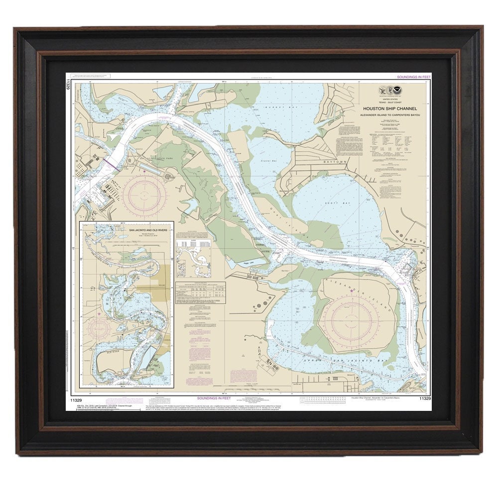
Framed Nautical Chart 11329 - Houston Ship Channel. Alexander Island. NOAA 11329. Handmade in the USA.
Framed Nautical Chart 11329 - Houston Ship Channel. Alexander Island. NOAA 11329. Handmade in the USA.
Couldn't load pickup availability
Discover the beauty of the Houston Ship Channel with our expertly crafted Framed Nautical Chart, featuring NOAA Chart 11329, which captures the intricate waterways from Alexander Island to Carpenters Bayou, including the San Jacinto and Old Rivers. Each chart is meticulously handmade in the USA, showcasing exceptional craftsmanship and attention to detail.
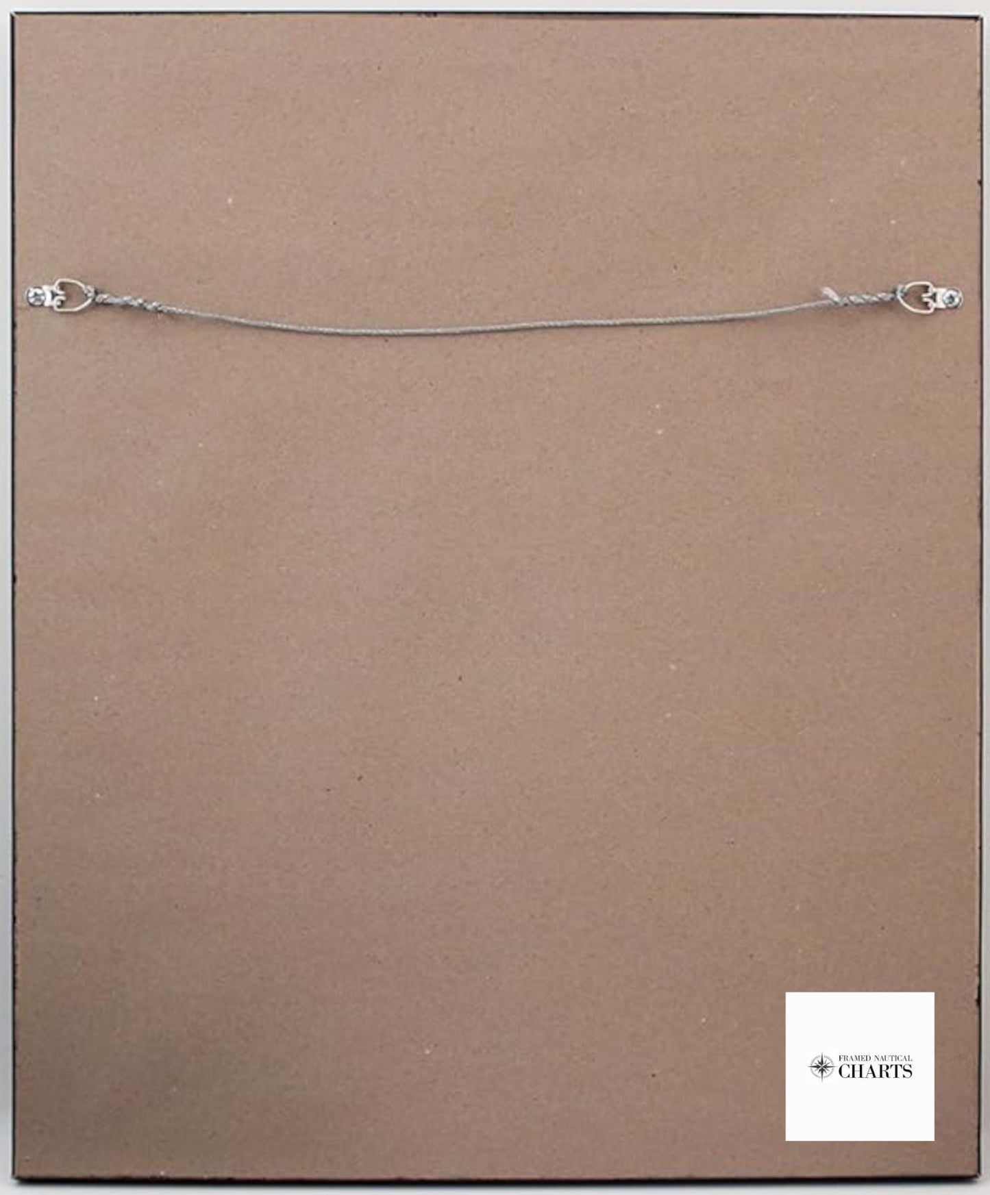
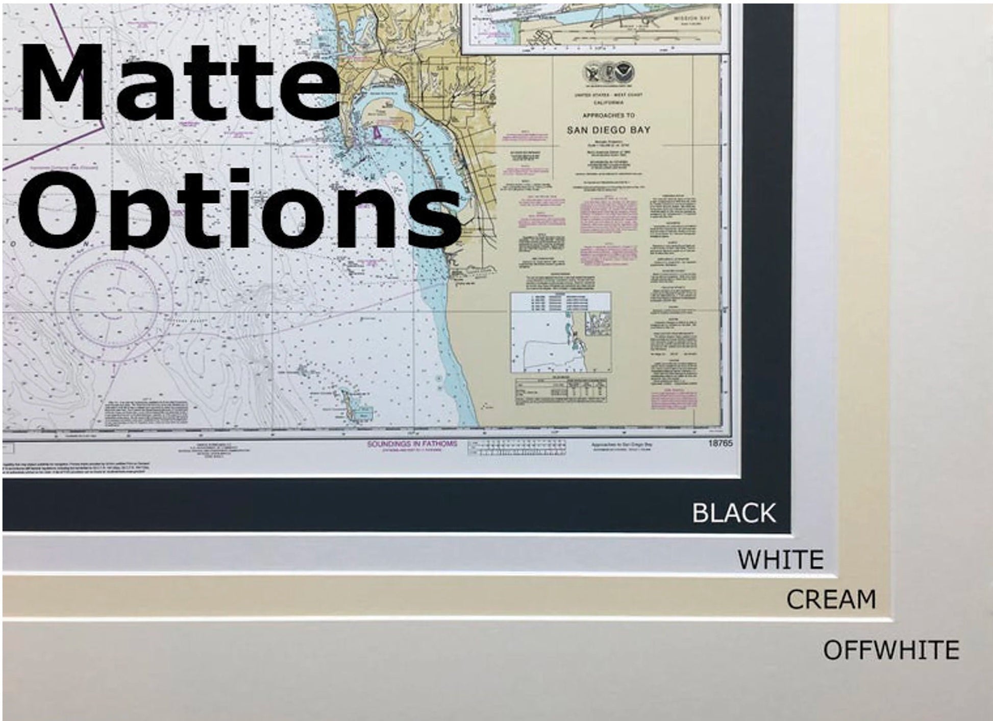
This framed nautical map is presented in a solid wood frame with a glass front, ensuring your nautical artwork is both durable and elegant. The museum-quality print is created from archival paper and inks, and is complemented by a sophisticated black mat for an enhanced visual appeal. The back is finished with a paper duster, and it comes with a convenient wire hanger for easy wall installation.
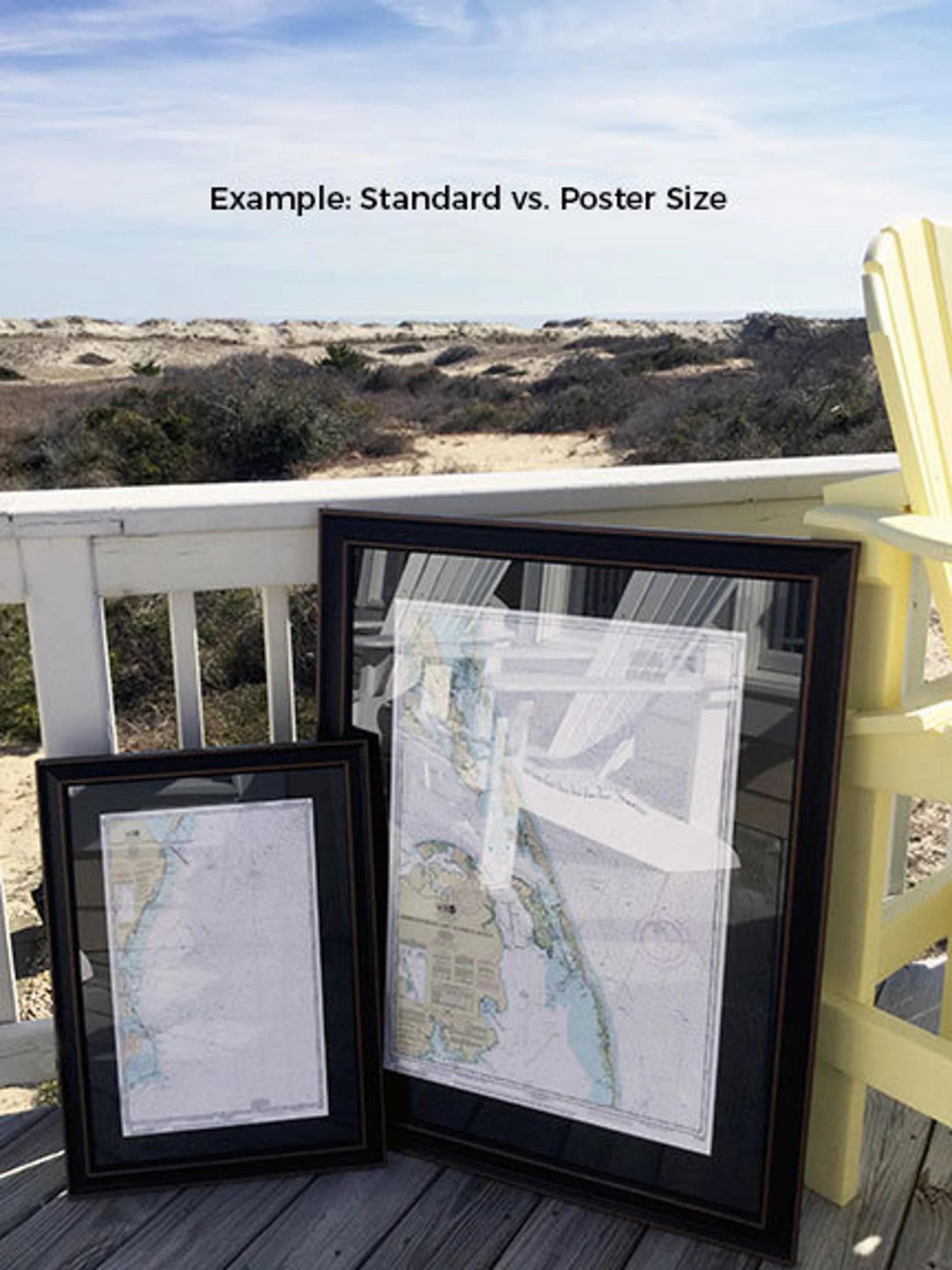
Choose from two sizes to best fit your space:
- Standard size with outer frame dimensions of approximately 24" W x 23 1/2" H
- Poster size with outer frame dimensions of approximately 36" W x 35 1/4" H
We offer free ground shipping* on every order, but please note that this is available only for deliveries to the 48 contiguous states. For shipments to Alaska and Hawaii, we recommend contacting us for a custom shipping quote, as we strive to keep shipping costs transparent with no additional markups.
If you're seeking a different frame option or have specific ideas in mind, please don’t hesitate to reach out. We welcome any sample photos or requests to help create the perfect piece that aligns with your vision. *Important Shipping Note: Free ground shipping applies only to the contiguous US states.
Share