Framed Nautical Charts
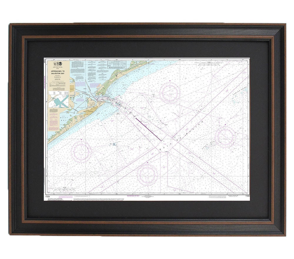
Framed Nautical Chart 11323 - Approaches to Galveston Bay. NOAA 11323. Handmade in the USA.
Framed Nautical Chart 11323 - Approaches to Galveston Bay. NOAA 11323. Handmade in the USA.
Couldn't load pickup availability
Discover the beauty of the Texas coastline with this exquisite Framed Nautical Map, which depicts the Approaches to Galveston Bay. This official NOAA Nautical Chart provides detailed information about the waterways in this stunning region. Each chart is custom handmade in the USA, showcasing exceptional craftsmanship that reflects our commitment to quality.
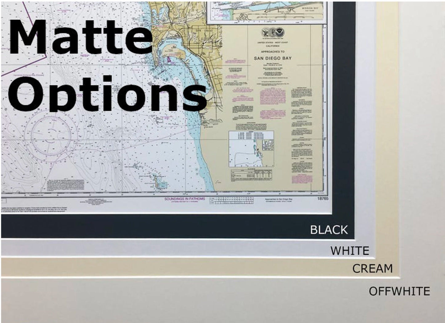
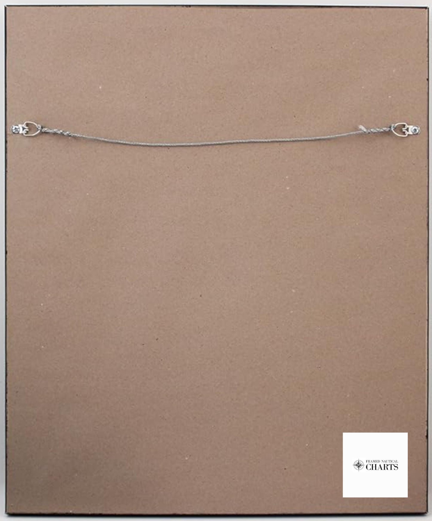
The map comes elegantly presented in a solid wood frame, featuring a museum-quality print made from archival paper and inks for longevity. It is enhanced with a black mat and protected by a durable glass front, ensuring that your chart will remain a cherished piece for years to come. The back of the frame is finished with a paper duster, and a wire hanger is included for easy installation.
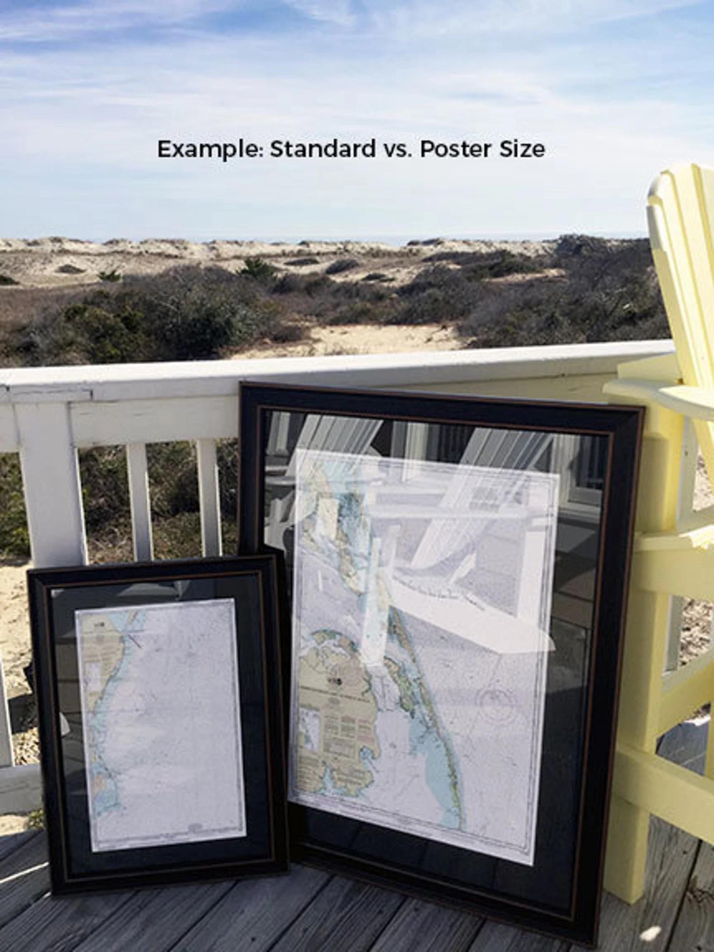
We offer two frame size options to fit your needs:
- Standard size: Approx. 24" W x 16" H
- Poster size: Approx. 36" W x 24" H
If you have a specific frame style in mind, please reach out to us with your request. We are happy to collaborate with you to create a custom piece, and we welcome any sample photos to help us align with your vision.
*Important Shipping Note: Free ground shipping is available only for orders shipped to the 48 contiguous states. While we do not impose additional shipping costs, please contact us for custom shipping quotes to Alaska and Hawaii, as shipping expenses can be significantly higher.
Share