

Framed Nautical Charts
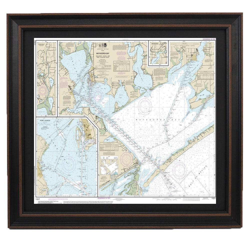
Framed Nautical Chart 11317 - Matagorda Bay. NOAA 11317. Handmade in the USA.
Framed Nautical Chart 11317 - Matagorda Bay. NOAA 11317. Handmade in the USA.
Couldn't load pickup availability
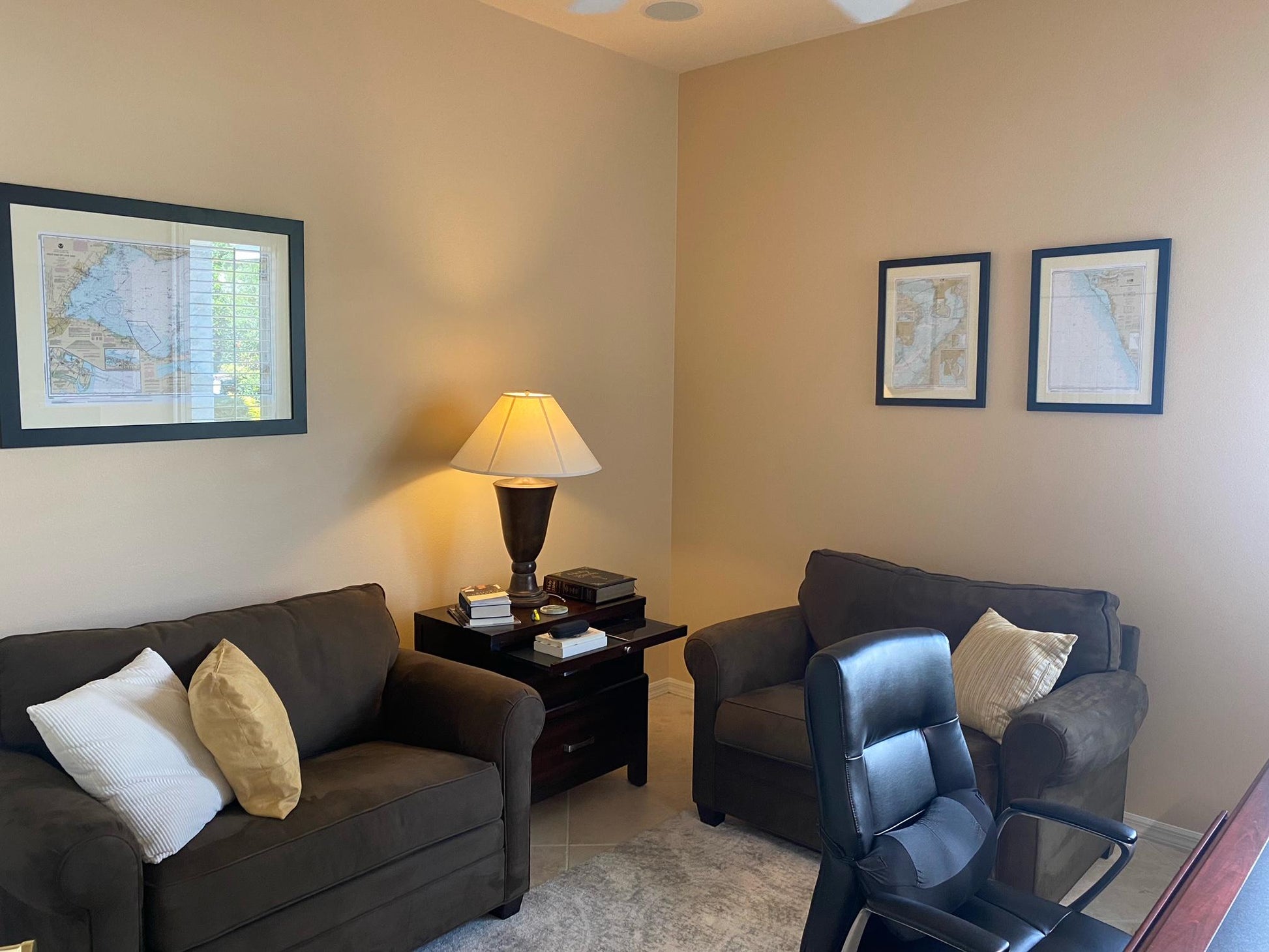
Discover the exquisite Framed Nautical Chart 11317 featuring Matagorda Bay, which encompasses Lavaca Bay, Tres Palacios Bay, and Port Lavaca. This officially licensed NOAA Nautical Chart provides detailed insights into the waterways of Matagorda Bay, Texas. Each chart is meticulously handcrafted in the USA, showcasing a commitment to exceptional craftsmanship.
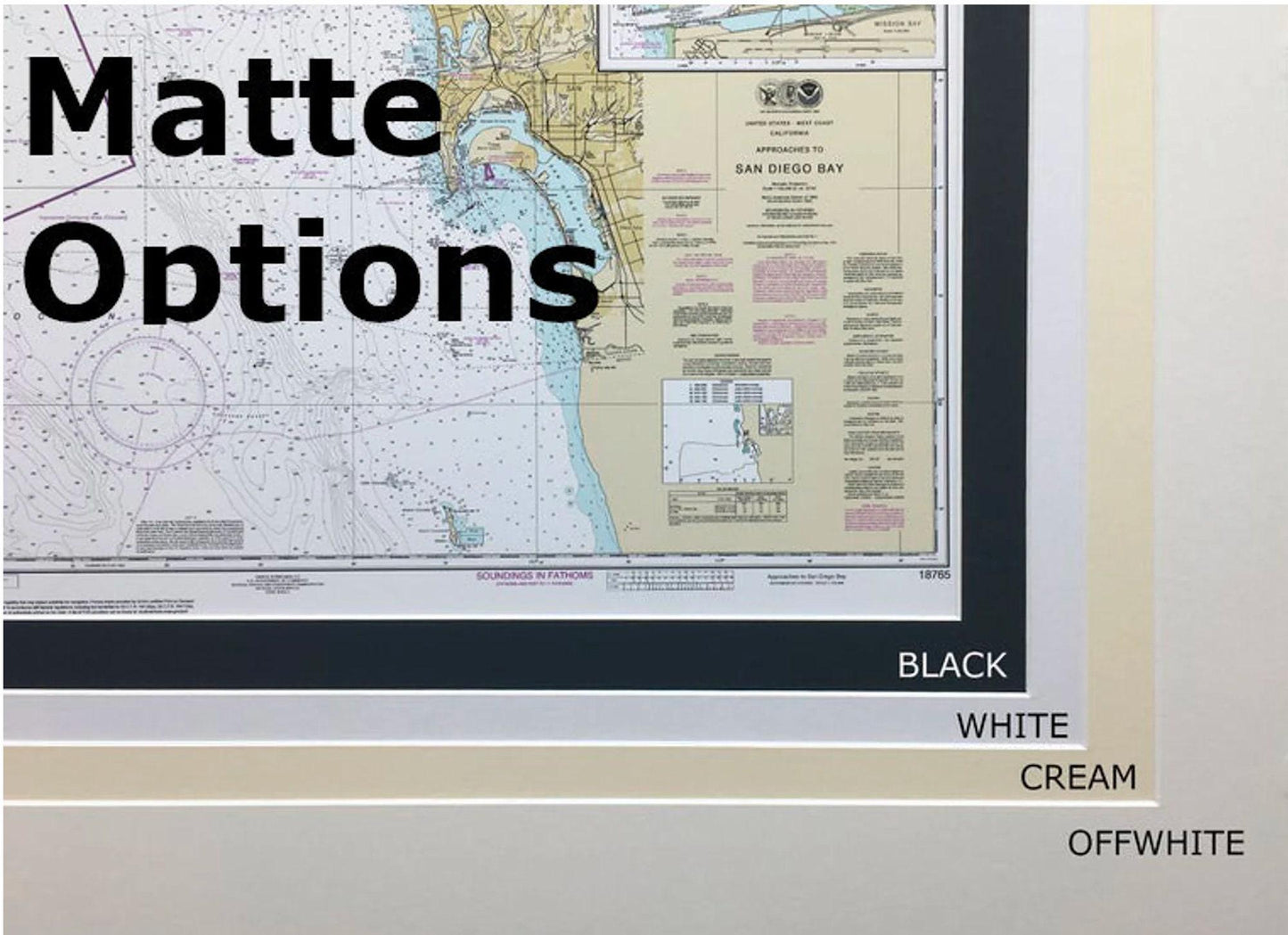
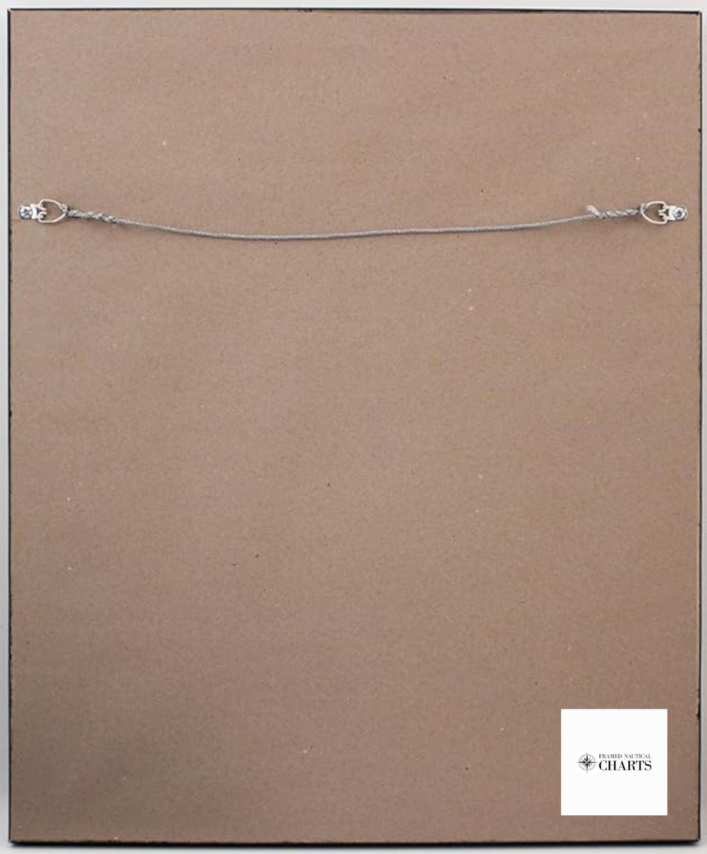
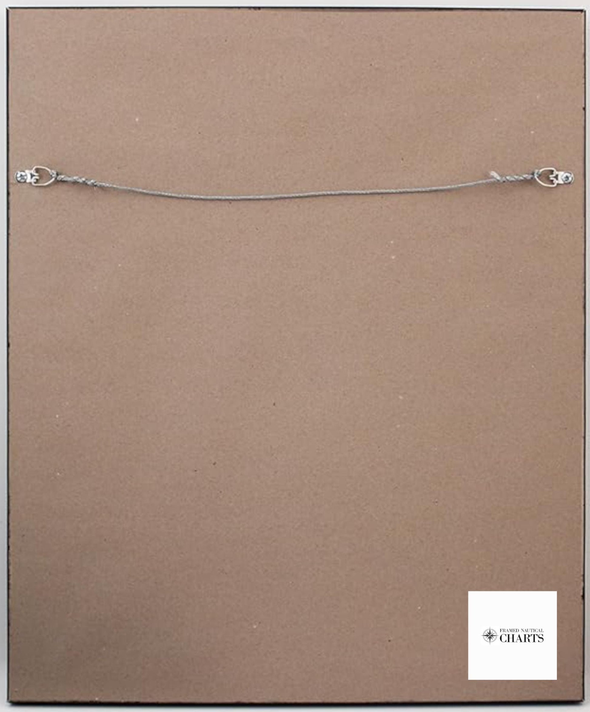
The chart is elegantly presented in a solid wood frame and printed on museum-quality archival paper using premium inks for lasting vibrancy. It includes a sophisticated black mat and is protected by a glass front to preserve its beauty. The back of the frame is finished with a paper duster, and a wire hanger is mounted for easy installation.
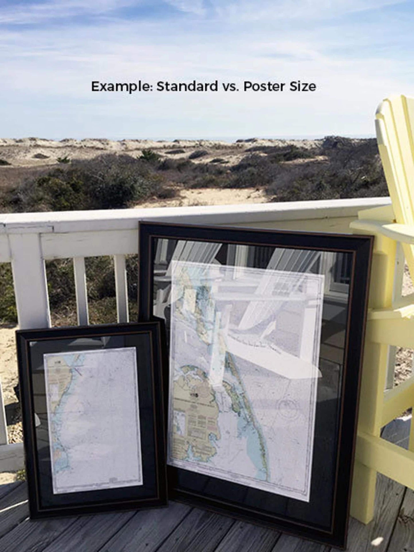
Choose between two sizes to best fit your space:
- Standard size with outer frame dimensions of approximately 24" W x 18" H.
- Poster size with outer frame dimensions of approximately 36" W x 27" H.
Each framed nautical chart combines quality construction—featuring a wood frame, glass front, and black mat—ensuring durability and elegance. As an added bonus, we offer free ground shipping for deliveries within the 48 contiguous states*. If you have a specific frame option in mind, feel free to reach out; we’re happy to collaborate with you to create your ideal vision.
*Important Shipping Note: Free ground shipping applies only to shipments within the contiguous United States. While we strive for transparency regarding shipping costs, shipping to Alaska and Hawaii incurs additional charges—please contact us for a customized shipping quote.
Share