Framed Nautical Charts
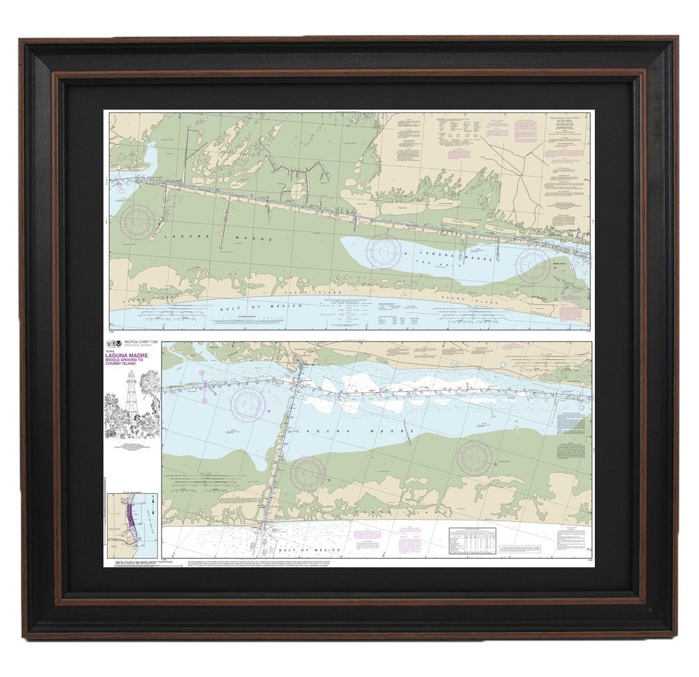
Framed Nautical Chart 11306 - Laguna Madre Middle Ground to Chubby Island. NOAA 11306. Handmade in the USA.
Framed Nautical Chart 11306 - Laguna Madre Middle Ground to Chubby Island. NOAA 11306. Handmade in the USA.
Couldn't load pickup availability
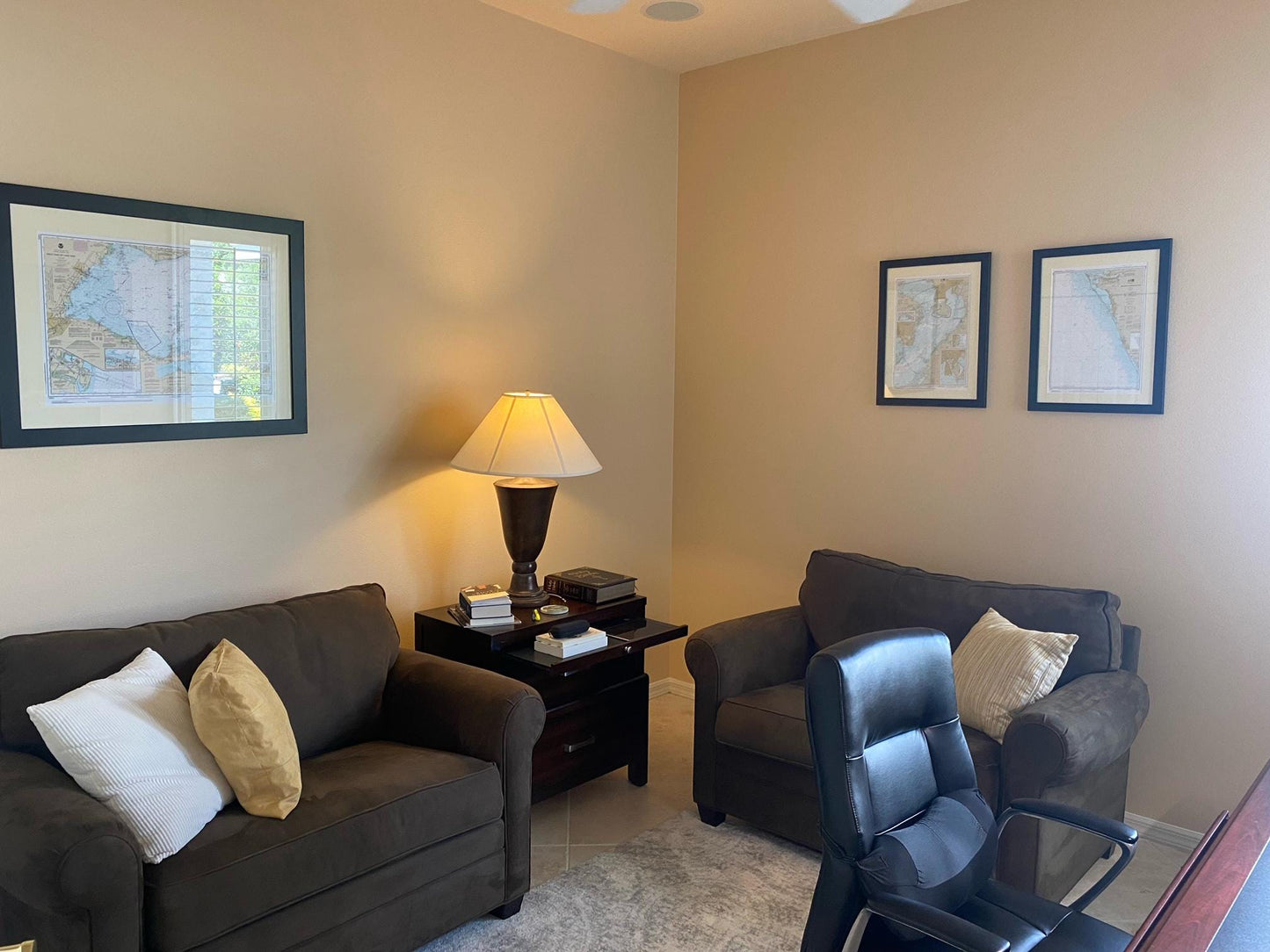
Discover the beauty of the Laguna Madre waterways with this meticulously crafted framed nautical map, which elegantly displays NOAA Nautical Chart 11306, covering the area from Middle Ground to Chubby Island, Texas. Each chart is custom-made in the USA, showcasing exceptional craftsmanship that highlights the intricate details of this unique region.
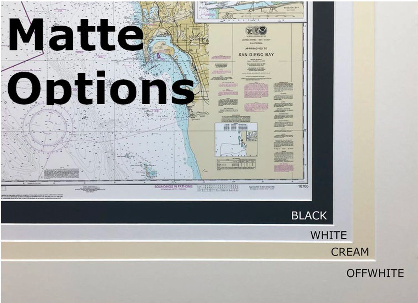
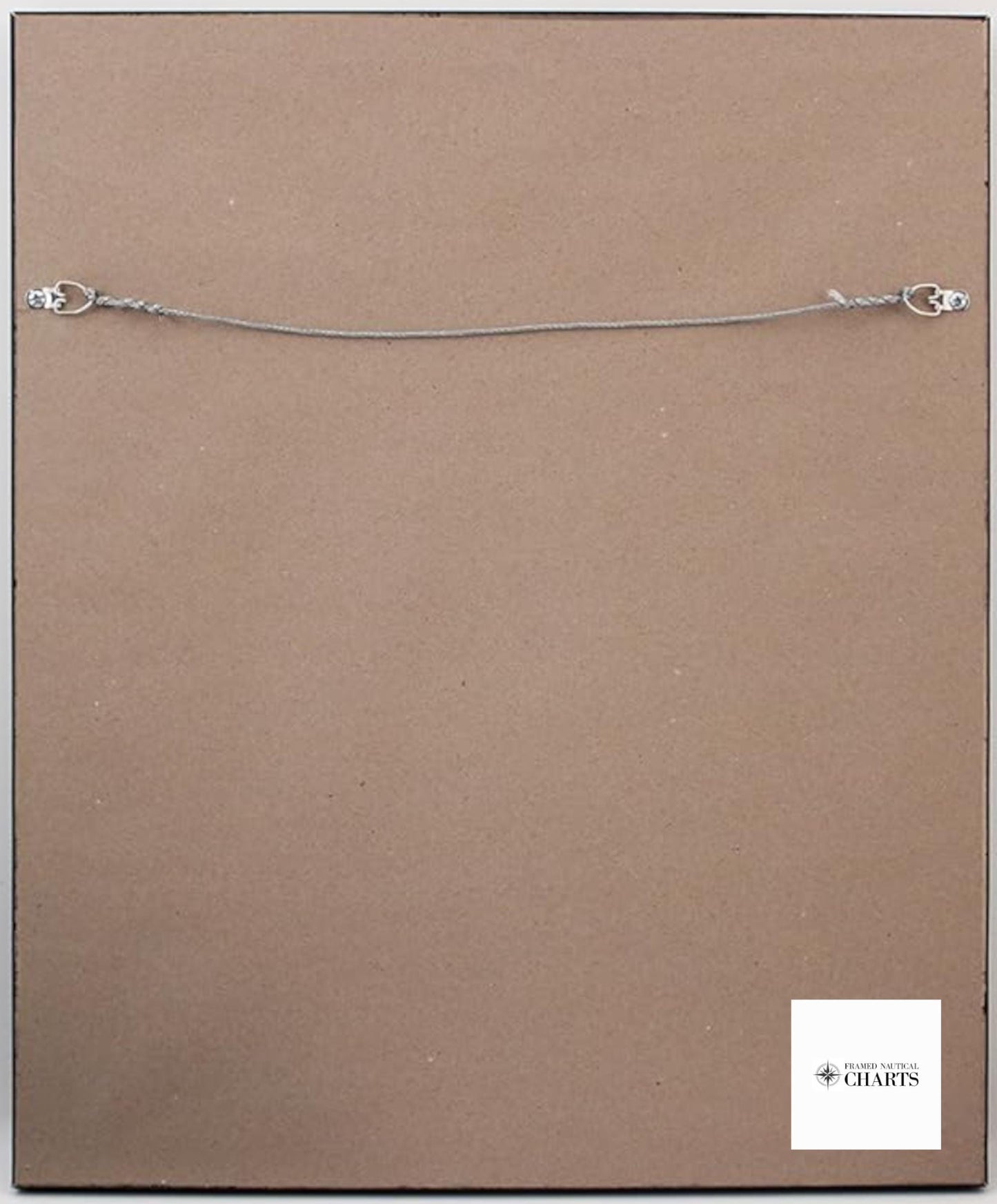
The nautical chart is presented in a sturdy solid wood frame, enhancing its aesthetic appeal. It features a museum-quality print produced on archival paper using premium inks, ensuring longevity and vibrancy. A sleek black mat complements the chart, while a protective glass front safeguards it from dust and damage. The reverse side is neatly finished with a paper duster, and the included wire hanger makes installation a breeze.
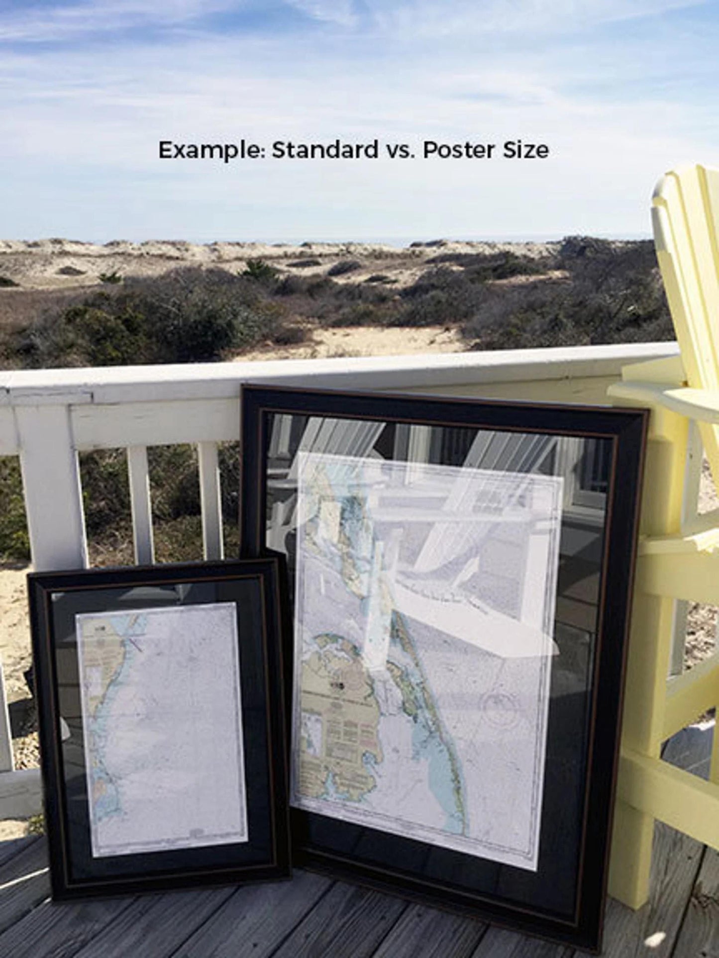
Choose from two frame sizes to suit your space:
- **Standard size**: Approx. 24" W x 22 1/4" H.
- **Poster size**: Approx. 36" W x 33 1/2" H.
If you have specific framing preferences, please contact us with your ideas. We welcome any sample photos you may have to help us create the perfect piece for your vision.
*Important Shipping Note: Free ground shipping is available for deliveries within the 48 contiguous states. We do not inflate shipping costs; however, due to the higher shipping fees to Alaska and Hawaii, please reach out for personalized shipping quotes.
Share