Framed Nautical Charts
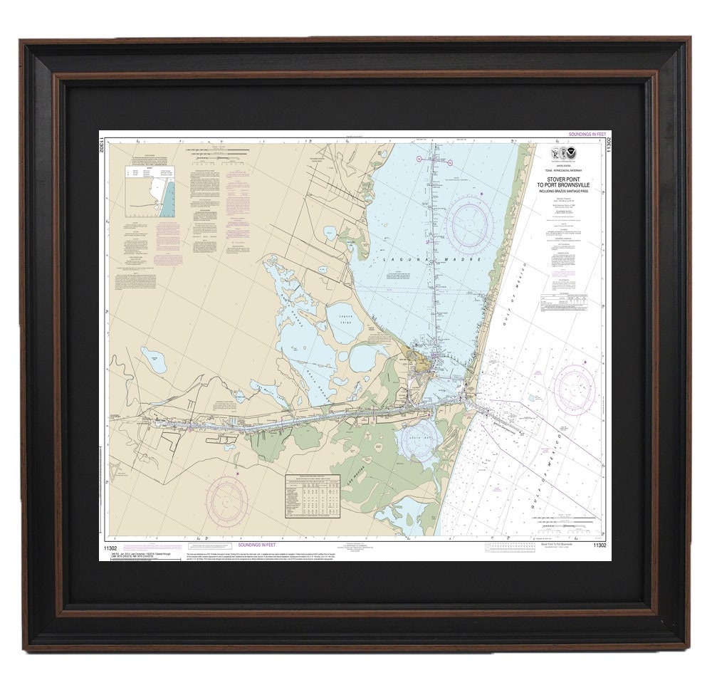
Framed Nautical Chart 11302 - South Padre Island, Stover Point to Port Brownsville. NOAA 11302. Handmade in the USA.
Framed Nautical Chart 11302 - South Padre Island, Stover Point to Port Brownsville. NOAA 11302. Handmade in the USA.
Couldn't load pickup availability
Discover the beauty of the Texas coastline with this expertly crafted Framed Nautical Chart, featuring the stretch from Stover Point to Port Brownsville, Texas. This official NOAA Nautical Chart 11302 intricately details the coastal area surrounding South Padre Island, making it a perfect addition to any maritime enthusiast’s collection.
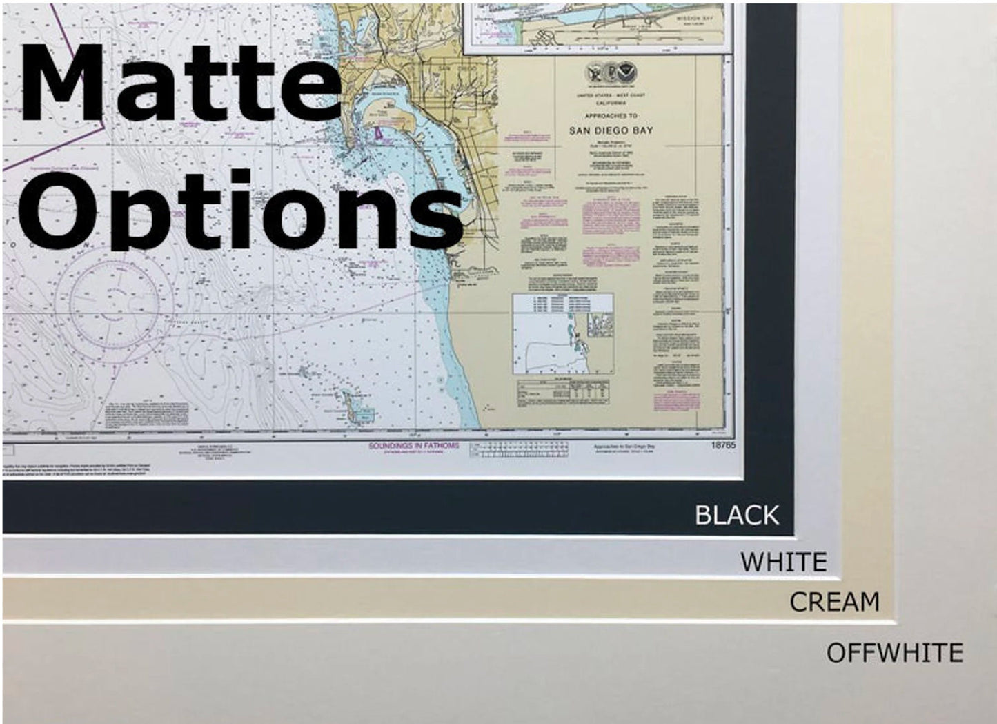
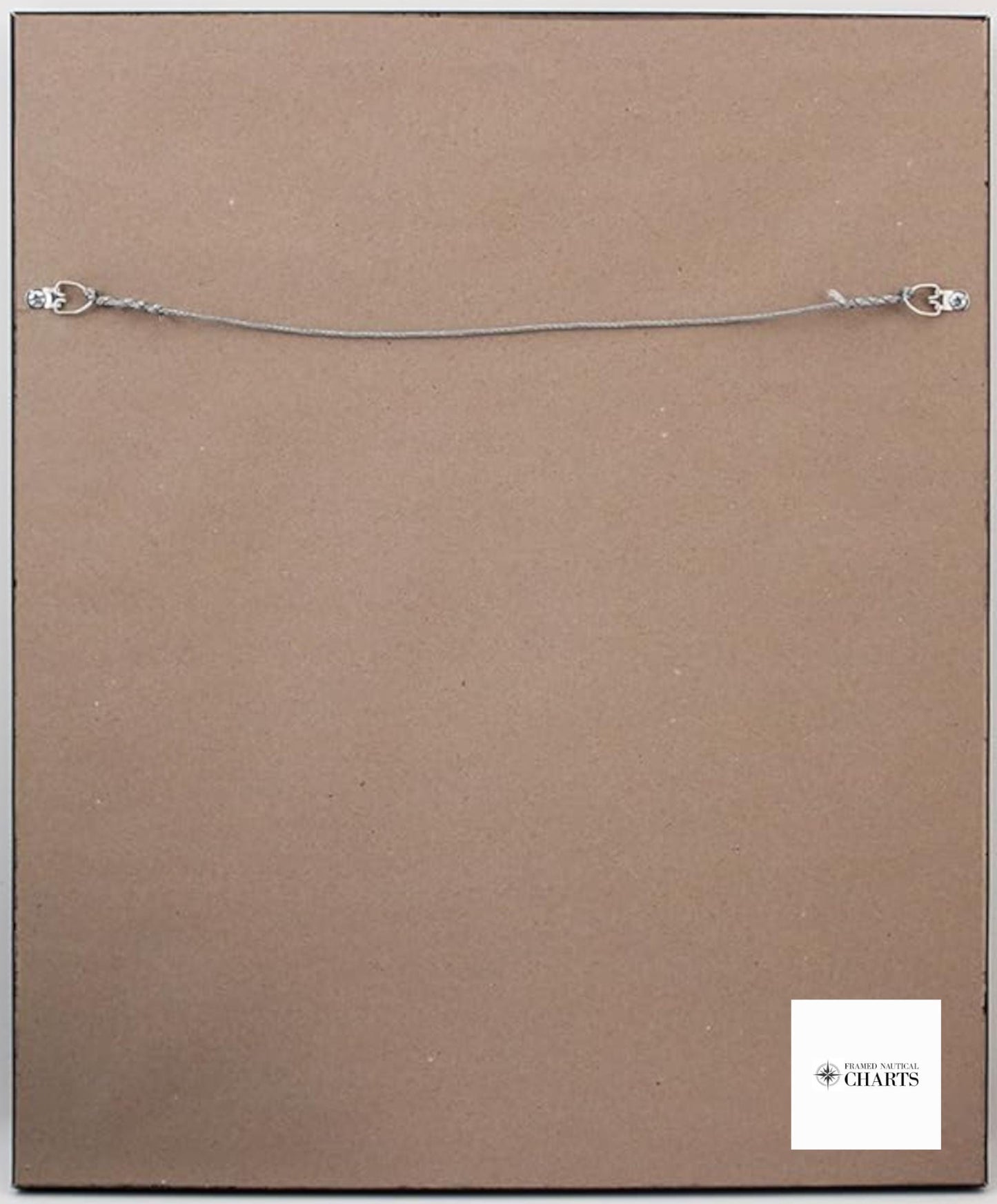
Each chart is custom handmade in the USA, showcasing exceptional craftsmanship. Presented in a solid wood frame, this nautical map features a museum-quality print made from archival paper and inks, ensuring longevity and vibrancy. The design is enhanced with a black mat and protected by a glass front for added durability. The back is thoughtfully finished with a paper duster, and a wire hanger is included for easy installation.
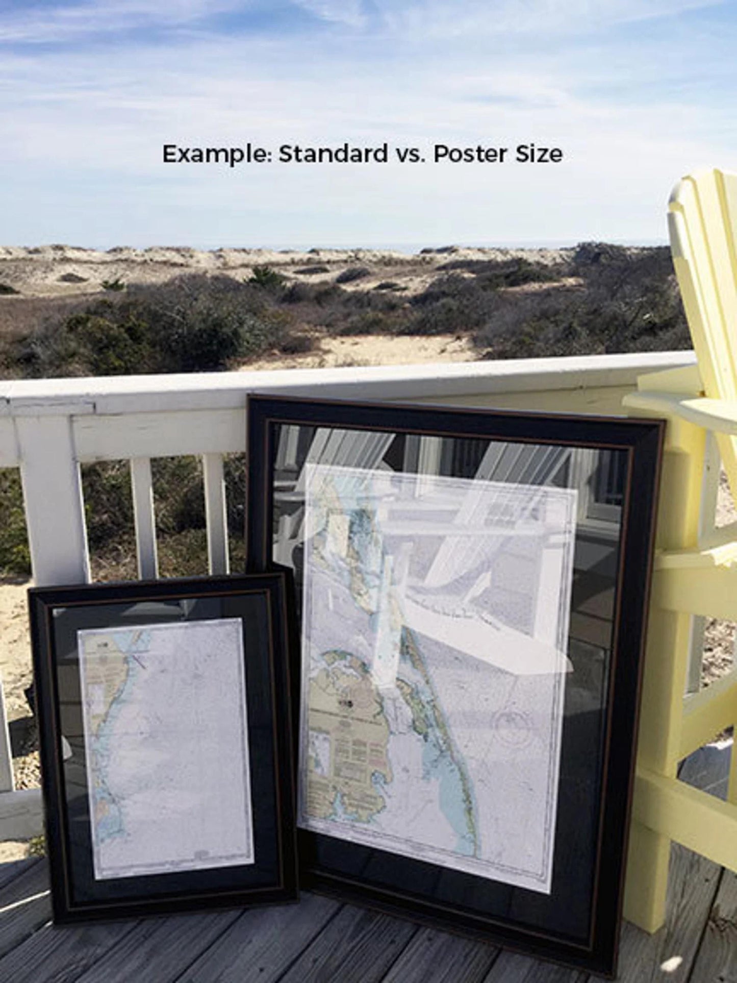
Choose between two sizes to fit your space perfectly:
- Standard size: Approx. 24" W x 16 1/2" H
- Poster size: Approx. 36" W x 24 3/4" H
If you have a specific frame option in mind, feel free to reach out to us with your requests. We are eager to accommodate any ideas or sample photos you provide to create the perfect piece for your vision.
*Important Shipping Note: Enjoy free ground shipping on orders delivered to the 48 contiguous states. While we do not inflate shipping costs, please contact us for personalized shipping quotes, especially if you are in Alaska or Hawaii, due to the higher shipping fees associated with those locations.
Share