Framed Nautical Charts
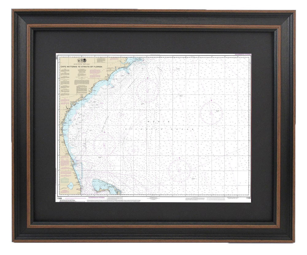
Framed Nautical Chart 11009 - Cape Hatteras to Straits of Florida. NOAA 11009. Handmade in the USA.
Framed Nautical Chart 11009 - Cape Hatteras to Straits of Florida. NOAA 11009. Handmade in the USA.
Couldn't load pickup availability
This beautifully framed nautical map captures the stunning waterways from Cape Hatteras to the Straits of Florida, showcasing a portion of the Outer Banks of North Carolina. The chart is the official NOAA Nautical Chart, meticulously crafted to reflect the highest standards of quality. Each piece is custom handmade in the USA, with exceptional attention to detail.
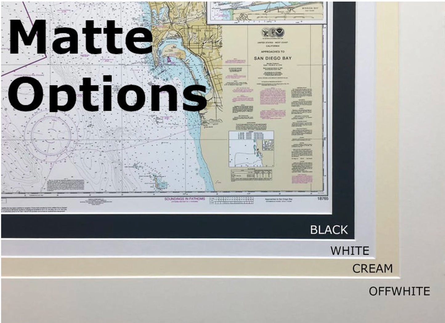
Presented in a solid wood frame, this nautical chart features a museum-quality print, created using archival paper and inks to ensure durability and clarity. The artwork is elegantly complemented by a black mat and protected by a glass front, while the back is finished with a paper duster for a polished look. A sturdy wire hanger is included for easy installation.
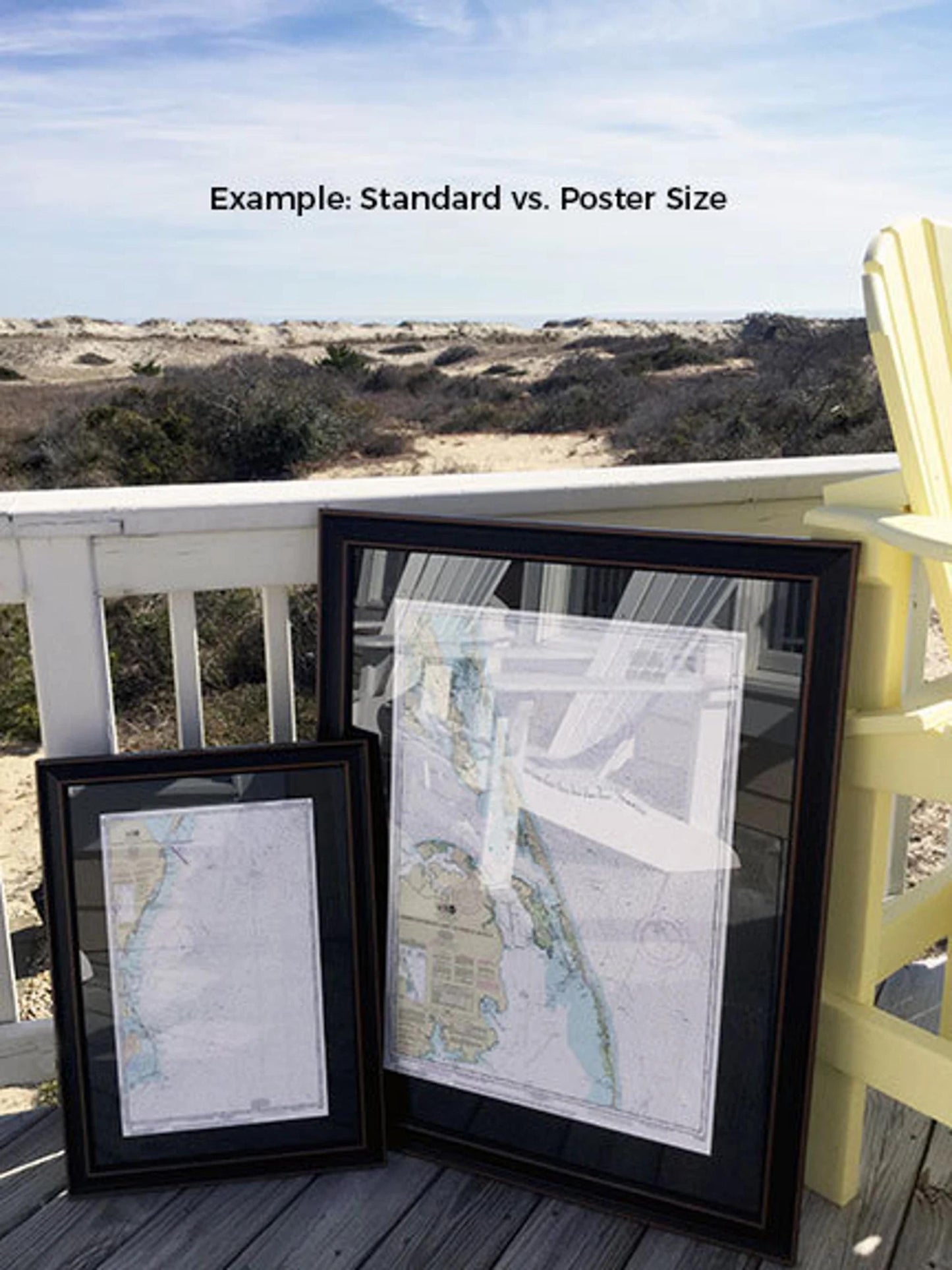
Choose between two frame sizes to suit your space:
- Standard size: outer frame dimensions approximately 24" W x 18" H
- Poster size: outer frame dimensions approximately 36" W x 27 1/4" H
If you have a specific frame option in mind, feel free to reach out with your request. We invite you to share any sample photos that can help us bring your vision to life.
*Important Shipping Note: Free ground shipping is available only for shipments within the 48 contiguous states. We do not inflate shipping costs, but due to the high expenses associated with shipping to Alaska and Hawaii, please contact us for a custom shipping quote.
Share