Framed Nautical Charts
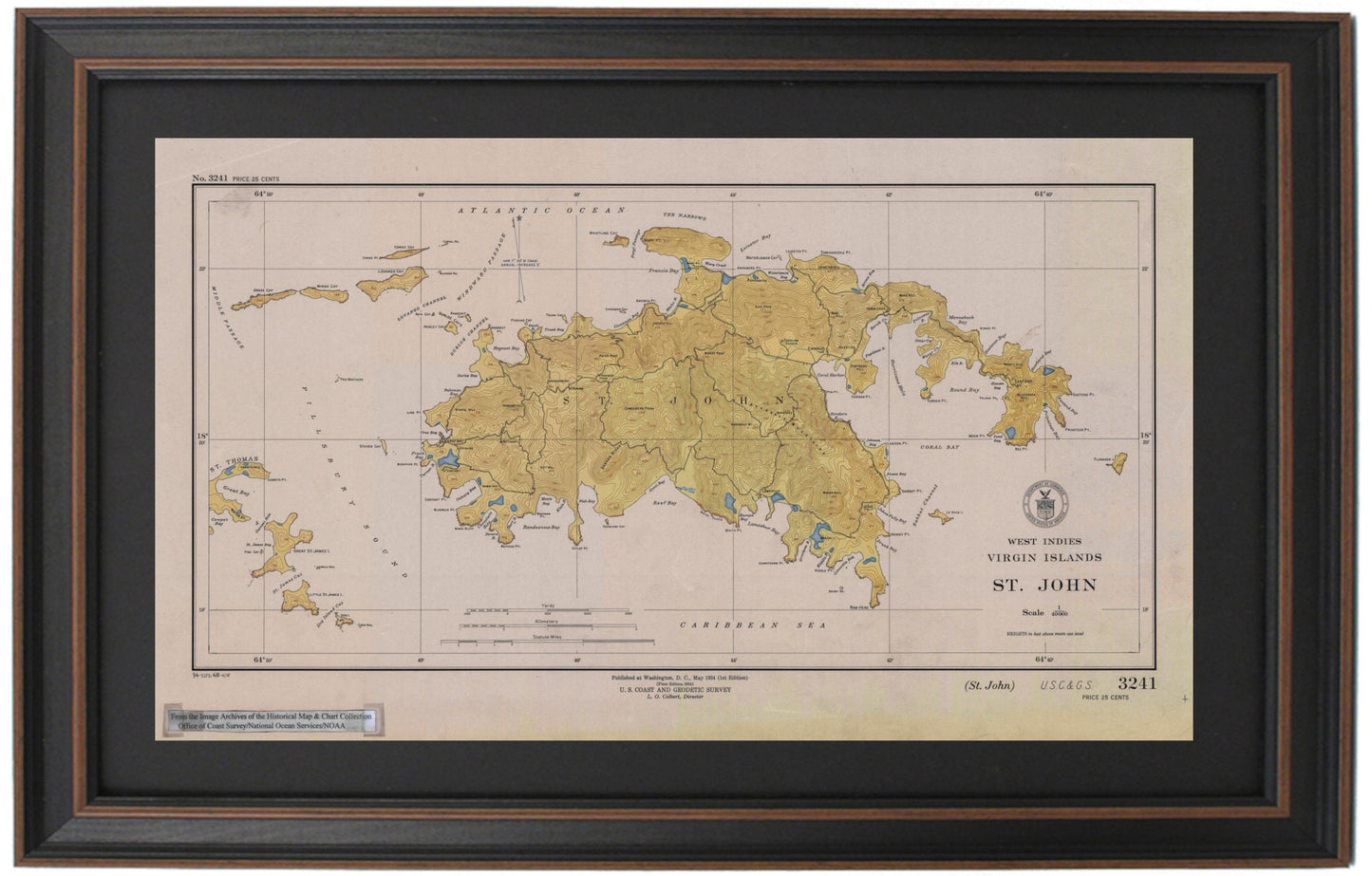
Framed Historical Nautical Chart 3241 - St. John, West Indies, USVI. 1948 Historical Chart. NOAA 3241.
Framed Historical Nautical Chart 3241 - St. John, West Indies, USVI. 1948 Historical Chart. NOAA 3241.
Couldn't load pickup availability
Discover the charm of St. John Island in the U.S. Virgin Islands with this beautifully framed historical nautical chart, dating back to 1948. This official map, known as NOAA Chart #3241, was meticulously produced by the U.S. Coast and Geodetic Survey and showcases the stunning coastal waters and landmarks of this Caribbean paradise.
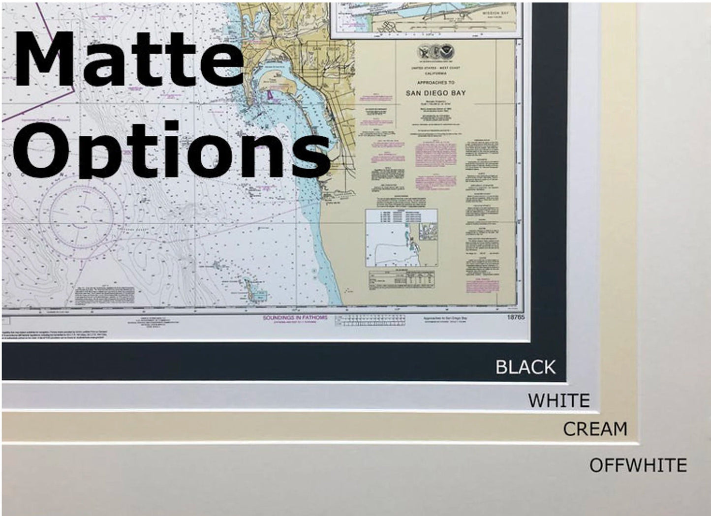
Each chart is handcrafted in the USA, ensuring exceptional craftsmanship and quality. It comes presented in a solid wood frame, featuring a museum-quality print made with archival paper and inks to guarantee longevity and vibrancy. The piece is elegantly complemented by a black mat and protected with a glass front, making it a striking addition to any space. The back is finished with a paper duster for a polished look, and a wire hanger is included for easy installation.
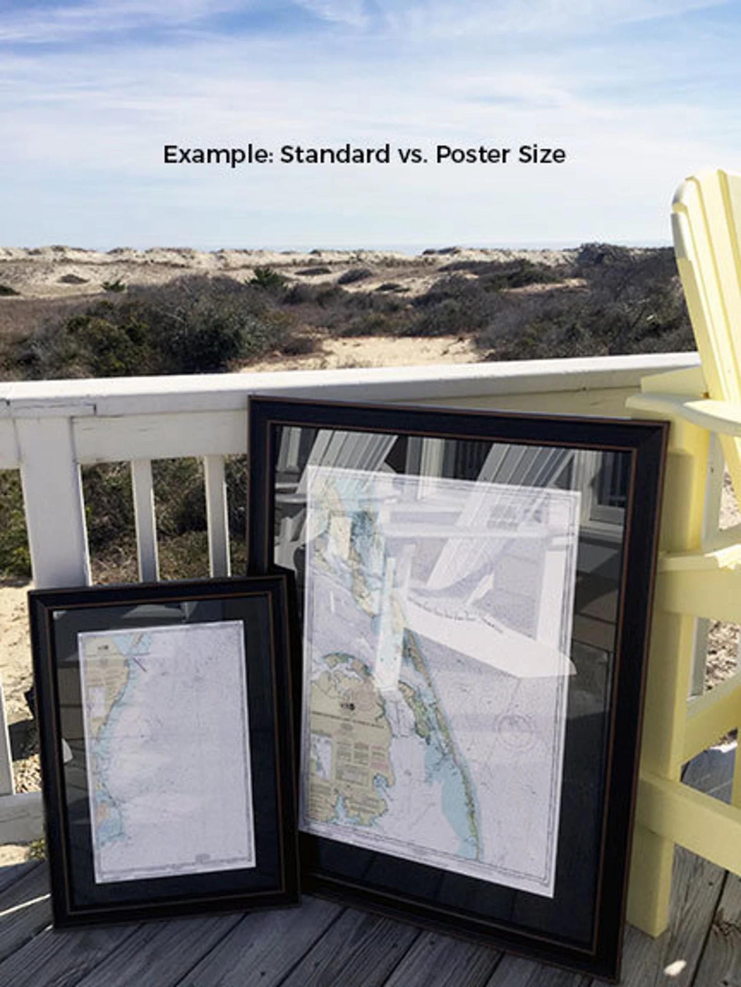
Choose from two frame sizes to perfectly fit your space:
- Standard size: 24" W x 13 ¼" H
- Poster size: 36" W x 20" H
If you're interested in a custom framing option, please don't hesitate to reach out with your preferences. We're happy to work with you and can even accommodate sample photos to help craft your ideal piece.
*Important Shipping Note: We offer free ground shipping for deliveries within the 48 contiguous states. While we do not inflate shipping costs, please inquire for custom shipping quotes for Alaska and Hawaii, as rates can vary significantly. Enhance your collection or gift this exquisite piece that celebrates the beauty of St. John and its nautical heritage!
Share