Framed Nautical Charts
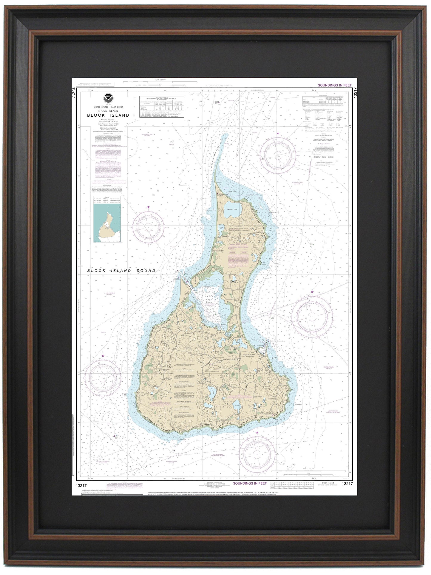
Framed Nautical Chart 13217 - Block Island. NOAA 13217. Handmade in the USA.
Framed Nautical Chart 13217 - Block Island. NOAA 13217. Handmade in the USA.
Couldn't load pickup availability
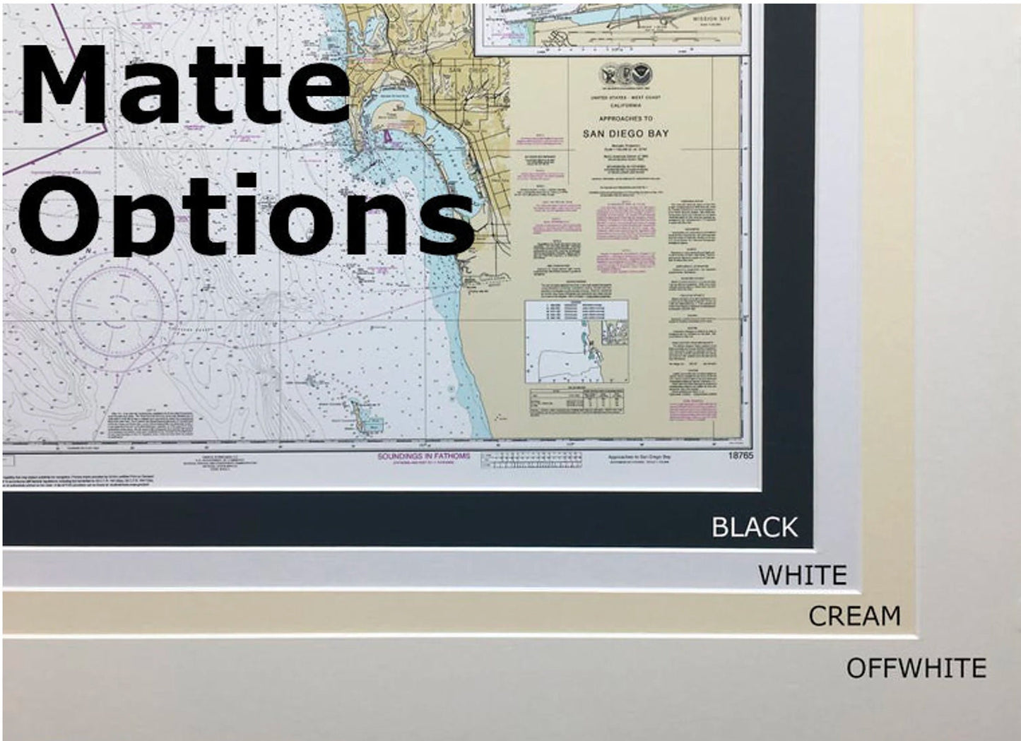
If you're on the hunt for a specific nautical map, we can frame any NOAA Nautical chart to meet your needs. If you don't see a listing for your desired map, simply reach out, and we'll create a custom solution just for you. We also offer a variety of frame and mat options!
This beautifully framed nautical chart showcases Block Island and features the official NOAA Nautical Chart that highlights the stunning waters and coastline, including Great Salt Pond. Each chart is meticulously handcrafted in the USA, reflecting our commitment to high-quality craftsmanship.
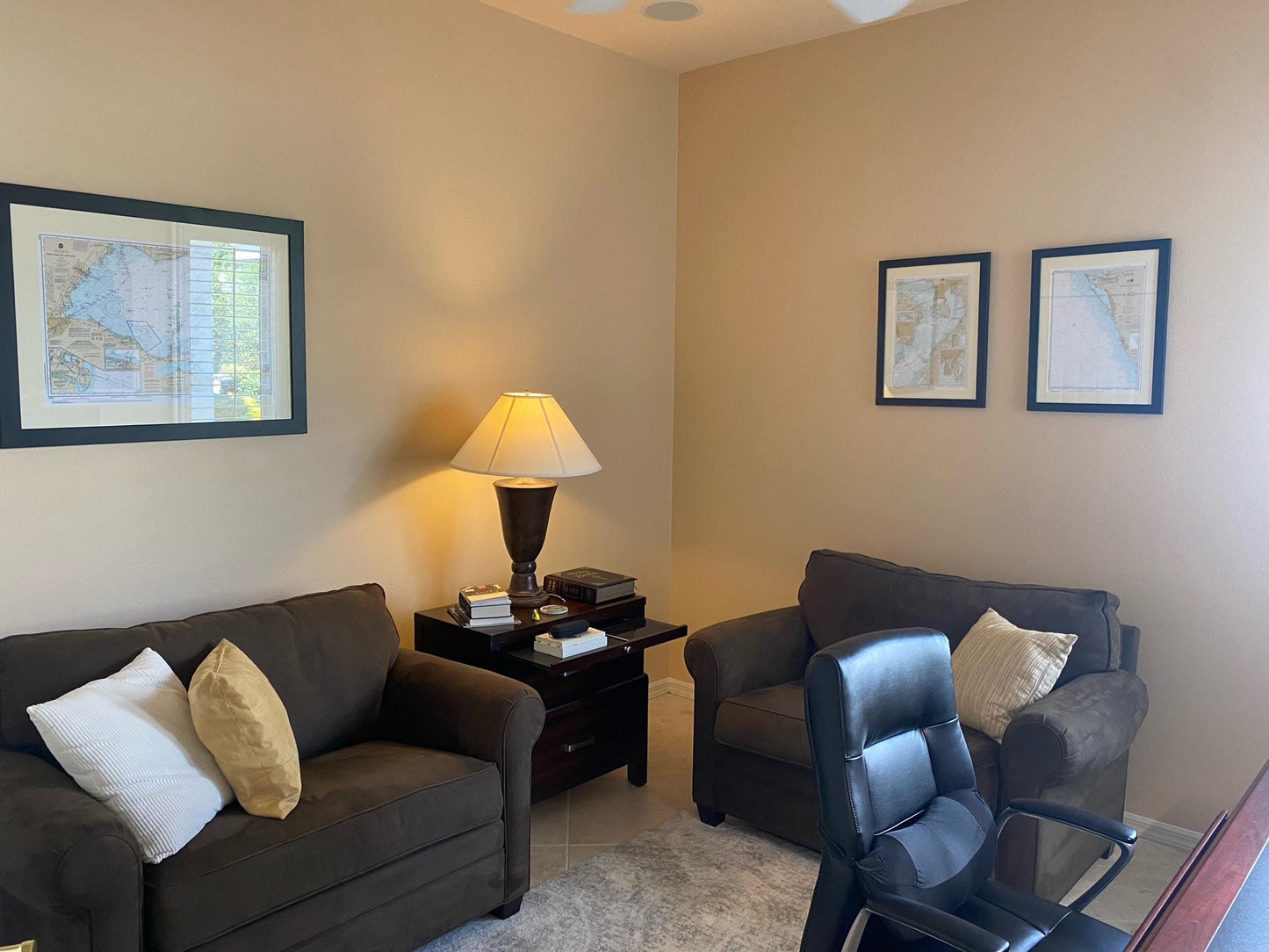
Presented in a solid wood frame, this piece features a museum-quality print made from archival materials, ensuring longevity and vibrancy. The chart is accompanied by a black mat and protected by a glass front, enhancing its elegance and durability. The back is finished with a paper duster for a polished look, and it includes a wire hanger for easy installation.
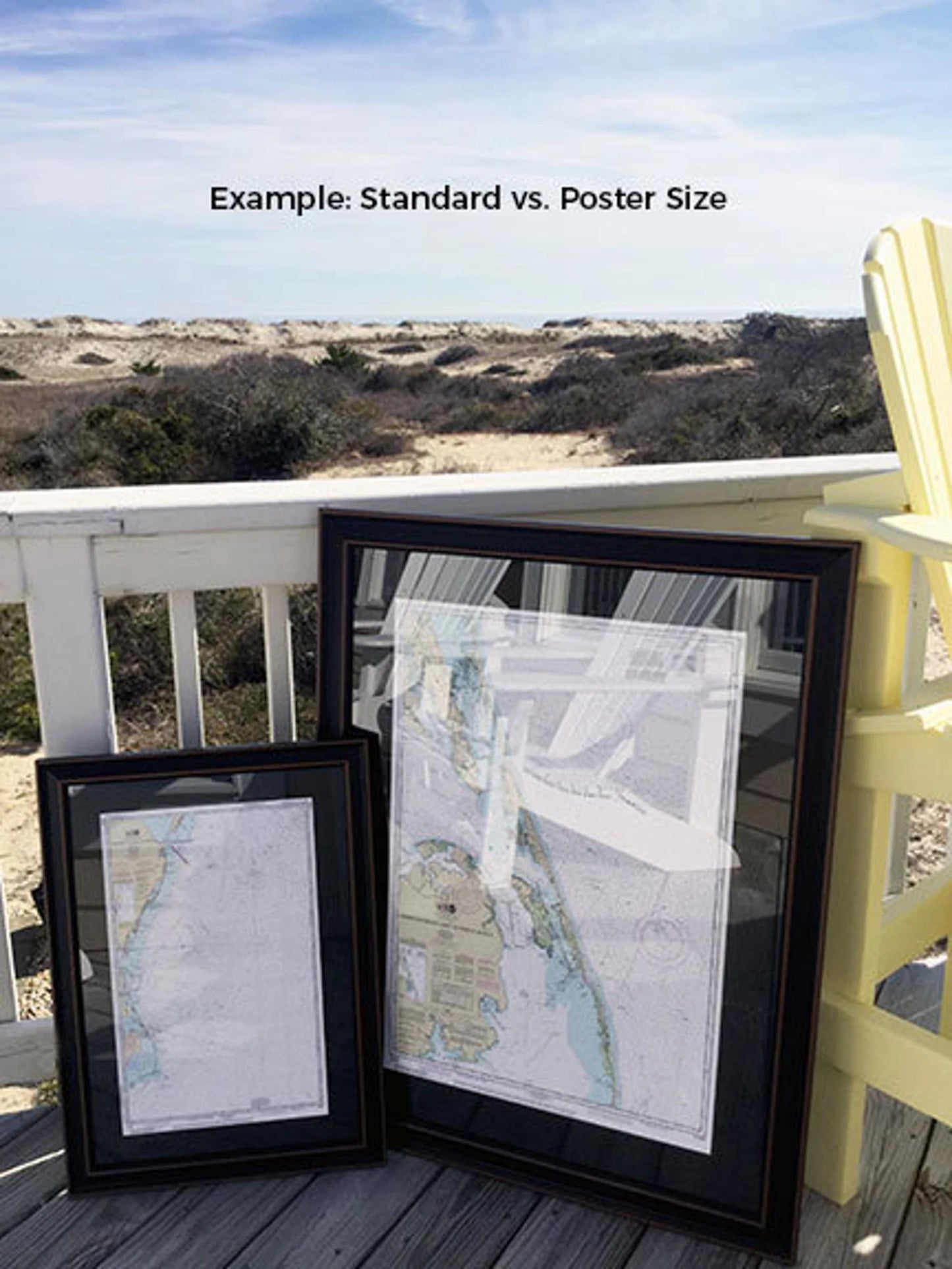
We offer two frame sizes for your convenience:
- Standard size: Approx. 24" W x 16.5" H
- Poster size: Approx. 36" W x 24.5" H
If you're interested in a different frame style, please contact us with your ideas. We welcome sample photos to help us create the perfect piece that aligns with your vision.
**Important Shipping Note:** Free ground shipping is available for shipments within the 48 contiguous states. While we strive to keep shipping costs reasonable, please contact us for custom quotes for shipments to Alaska and Hawaii due to the higher shipping rates.
Share